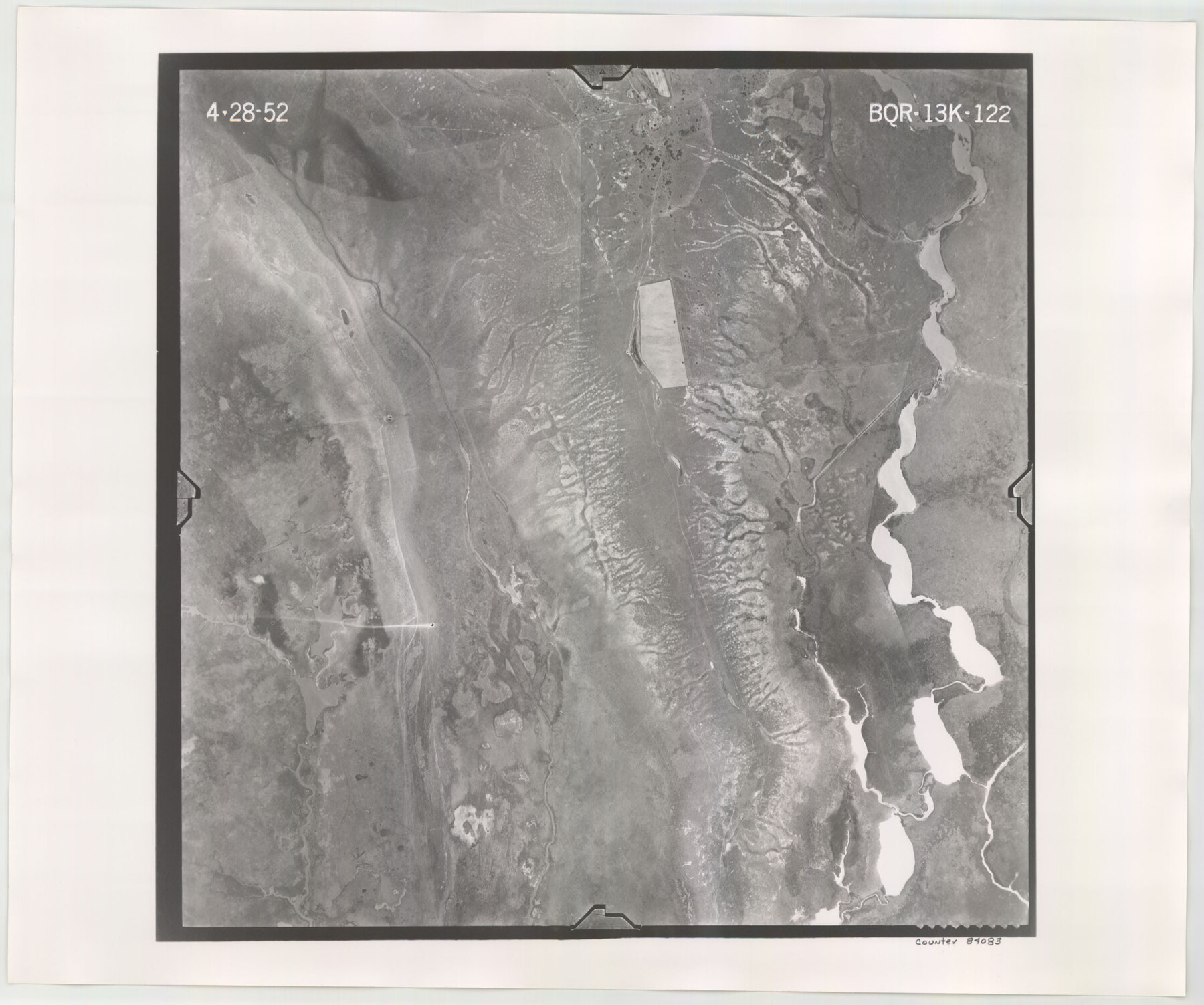
Flight Mission No. BQR-13K, Frame 122, Brazoria County
BQR-13K-122
-
Map/Doc
84083
-
Collection
General Map Collection
-
Object Dates
1952/4/28 (Creation Date)
-
People and Organizations
U. S. Department of Agriculture (Publisher)
-
Counties
Brazoria
-
Subjects
Aerial Photograph
-
Height x Width
18.6 x 22.3 inches
47.2 x 56.6 cm
-
Comments
Flown by Aero Exploration Company of Tulsa, Oklahoma.
Part of: General Map Collection
Cochran County Working Sketch Graphic Index

Print $20.00
- Digital $50.00
Cochran County Working Sketch Graphic Index
1946
Size 31.9 x 23.9 inches
Map/Doc 76495
Pecos County Boundary File 1

Print $2.00
- Digital $50.00
Pecos County Boundary File 1
Size 10.1 x 8.0 inches
Map/Doc 57854
McMullen County Boundary File 7

Print $5.00
- Digital $50.00
McMullen County Boundary File 7
Size 7.2 x 17.0 inches
Map/Doc 57017
Erath County Sketch File 20

Print $4.00
- Digital $50.00
Erath County Sketch File 20
1873
Size 9.7 x 8.2 inches
Map/Doc 22300
Lamb County Sketch File 8

Print $6.00
- Digital $50.00
Lamb County Sketch File 8
1904
Size 8.5 x 7.6 inches
Map/Doc 29355
Rio Grande, Raymondville Sheet

Print $20.00
- Digital $50.00
Rio Grande, Raymondville Sheet
1937
Size 37.3 x 37.9 inches
Map/Doc 65110

McMullen County

Print $40.00
- Digital $50.00
McMullen County
1967
Size 49.7 x 34.8 inches
Map/Doc 73236
Sutton County

Print $40.00
- Digital $50.00
Sutton County
1898
Size 39.1 x 56.5 inches
Map/Doc 63051
Clay County Boundary File 16

Print $56.00
- Digital $50.00
Clay County Boundary File 16
Size 9.1 x 3.7 inches
Map/Doc 51422
Hall County Sketch File 7

Print $20.00
- Digital $50.00
Hall County Sketch File 7
1890
Size 12.0 x 22.4 inches
Map/Doc 11603
Fisher County

Print $20.00
- Digital $50.00
Fisher County
1944
Size 41.4 x 36.1 inches
Map/Doc 77279
You may also like
Map of the 1st, 2nd and 3rd Sections of Houston & Texas Central Railroad

Print $40.00
- Digital $50.00
Map of the 1st, 2nd and 3rd Sections of Houston & Texas Central Railroad
Size 30.7 x 64.6 inches
Map/Doc 64478
Flight Mission No. CRK-3P, Frame 68, Refugio County

Print $20.00
- Digital $50.00
Flight Mission No. CRK-3P, Frame 68, Refugio County
1956
Size 18.7 x 22.5 inches
Map/Doc 86910
Crockett County Sketch File 59

Print $8.00
- Digital $50.00
Crockett County Sketch File 59
1924
Size 14.1 x 8.8 inches
Map/Doc 19833
Flight Mission No. BRA-16M, Frame 48, Jefferson County

Print $20.00
- Digital $50.00
Flight Mission No. BRA-16M, Frame 48, Jefferson County
1953
Size 18.6 x 22.5 inches
Map/Doc 85665
San Patricio County Rolled Sketch 46H

Print $4.00
- Digital $50.00
San Patricio County Rolled Sketch 46H
1983
Size 12.1 x 18.4 inches
Map/Doc 8379
Midland County

Print $20.00
- Digital $50.00
Midland County
1896
Size 23.0 x 21.1 inches
Map/Doc 3878
Pecos County Sketch

Print $20.00
- Digital $50.00
Pecos County Sketch
Size 34.2 x 23.5 inches
Map/Doc 91642
Presidio County Rolled Sketch 122

Print $20.00
- Digital $50.00
Presidio County Rolled Sketch 122
1981
Size 33.9 x 28.3 inches
Map/Doc 7395
Flight Mission No. DAG-21K, Frame 34, Matagorda County

Print $20.00
- Digital $50.00
Flight Mission No. DAG-21K, Frame 34, Matagorda County
1952
Size 18.7 x 22.3 inches
Map/Doc 86401
Wheeler County Sketch File 7

Print $20.00
- Digital $50.00
Wheeler County Sketch File 7
Size 38.1 x 47.7 inches
Map/Doc 10431
Map of San Augustine County

Print $20.00
- Digital $50.00
Map of San Augustine County
1841
Size 20.5 x 16.9 inches
Map/Doc 4013
Dickens County Sketch File GW1

Print $20.00
- Digital $50.00
Dickens County Sketch File GW1
1911
Size 31.5 x 24.4 inches
Map/Doc 11334