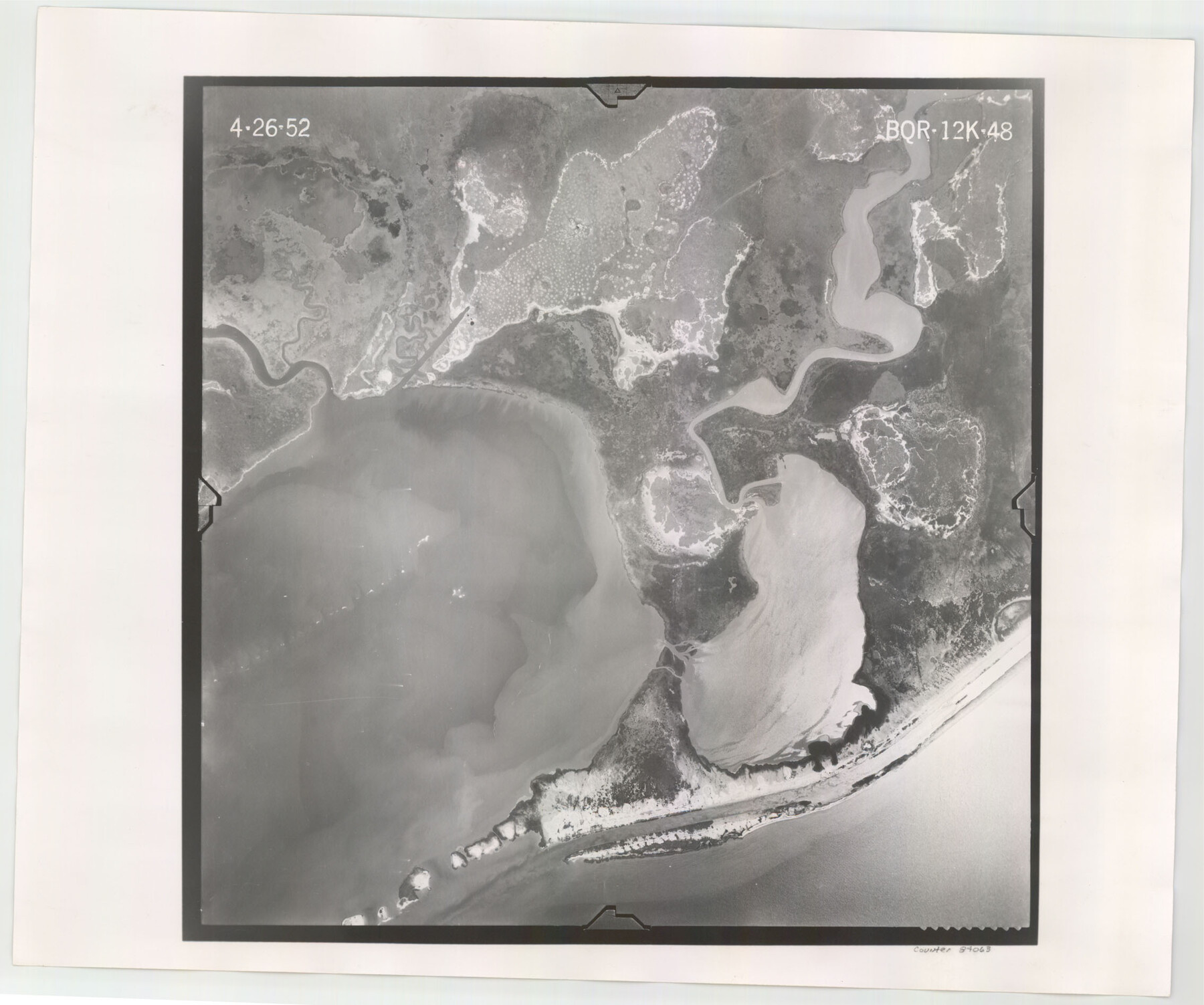
Flight Mission No. BQR-12K, Frame 48, Brazoria County
BQR-12K-48
-
Map/Doc
84063
-
Collection
General Map Collection
-
Object Dates
1952/4/26 (Creation Date)
-
People and Organizations
U. S. Department of Agriculture (Publisher)
-
Counties
Brazoria
-
Subjects
Aerial Photograph
-
Height x Width
19.0 x 22.7 inches
48.3 x 57.7 cm
-
Comments
Flown by Aero Exploration Company of Tulsa, Oklahoma.
Part of: General Map Collection
Flight Mission No. CGI-1N, Frame 221, Cameron County

Print $20.00
- Digital $50.00
Flight Mission No. CGI-1N, Frame 221, Cameron County
1955
Size 18.5 x 22.2 inches
Map/Doc 84530
Irion County Sketch File 10

Print $20.00
- Digital $50.00
Irion County Sketch File 10
1936
Size 16.7 x 30.5 inches
Map/Doc 11825
Jasper County Working Sketch 27

Print $20.00
- Digital $50.00
Jasper County Working Sketch 27
1954
Size 38.3 x 19.4 inches
Map/Doc 66489
Gaines County Rolled Sketch 32

Print $20.00
- Digital $50.00
Gaines County Rolled Sketch 32
1902
Size 20.5 x 29.9 inches
Map/Doc 5945
Montgomery County Working Sketch 45

Print $20.00
- Digital $50.00
Montgomery County Working Sketch 45
1956
Size 14.8 x 29.5 inches
Map/Doc 71152
Geological Highway Map of Texas

Geological Highway Map of Texas
1973
Size 28.4 x 36.2 inches
Map/Doc 74356
Mason County Sketch File 1

Print $6.00
- Digital $50.00
Mason County Sketch File 1
1857
Size 11.0 x 8.2 inches
Map/Doc 30677
Rio Grande Rectification Project, El Paso and Juarez Valley

Print $20.00
- Digital $50.00
Rio Grande Rectification Project, El Paso and Juarez Valley
1935
Size 10.7 x 29.7 inches
Map/Doc 60863
Map of Upshur County Texas

Print $20.00
- Digital $50.00
Map of Upshur County Texas
1873
Size 20.4 x 15.2 inches
Map/Doc 4635
Stephens County Sketch File 9a

Print $4.00
- Digital $50.00
Stephens County Sketch File 9a
1884
Size 8.6 x 8.2 inches
Map/Doc 37040
Briscoe County Boundary File 1

Print $90.00
- Digital $50.00
Briscoe County Boundary File 1
Size 8.6 x 6.8 inches
Map/Doc 50758
Fort Bend County Boundary File 3

Print $2.00
- Digital $50.00
Fort Bend County Boundary File 3
Size 8.8 x 11.3 inches
Map/Doc 53566
You may also like
Gaines County Sketch File 20

Print $12.00
- Digital $50.00
Gaines County Sketch File 20
1906
Size 7.1 x 8.9 inches
Map/Doc 23335
Victoria County Sketch File 13

Print $10.00
- Digital $50.00
Victoria County Sketch File 13
2001
Size 11.5 x 8.8 inches
Map/Doc 39542
Uvalde County Working Sketch 38

Print $20.00
- Digital $50.00
Uvalde County Working Sketch 38
1970
Size 33.3 x 30.8 inches
Map/Doc 72108
Reagan County Working Sketch 26

Print $20.00
- Digital $50.00
Reagan County Working Sketch 26
1960
Size 29.4 x 41.0 inches
Map/Doc 71868
Blucher's Directory Map of Corpus Christi and Road Map of Nueces County

Print $20.00
- Digital $50.00
Blucher's Directory Map of Corpus Christi and Road Map of Nueces County
1945
Size 22.7 x 34.4 inches
Map/Doc 94105
Culberson County Sketch File 4a

Print $10.00
- Digital $50.00
Culberson County Sketch File 4a
Size 9.2 x 7.9 inches
Map/Doc 20131
Flight Mission No. CGI-3N, Frame 171, Cameron County

Print $20.00
- Digital $50.00
Flight Mission No. CGI-3N, Frame 171, Cameron County
1954
Size 18.7 x 22.4 inches
Map/Doc 84635
America Septentrionalis

Print $20.00
- Digital $50.00
America Septentrionalis
1646
Size 20.0 x 23.4 inches
Map/Doc 93817
Corpus Christi Bay

Print $20.00
- Digital $50.00
Corpus Christi Bay
1971
Size 36.2 x 47.6 inches
Map/Doc 73473
Bell County Sketch File 30

Print $4.00
- Digital $50.00
Bell County Sketch File 30
1876
Size 10.1 x 8.0 inches
Map/Doc 14443
Donley County Rolled Sketch 2

Print $20.00
- Digital $50.00
Donley County Rolled Sketch 2
Size 41.8 x 34.3 inches
Map/Doc 8800
Swisher County

Print $20.00
- Digital $50.00
Swisher County
1941
Size 44.7 x 38.5 inches
Map/Doc 95648