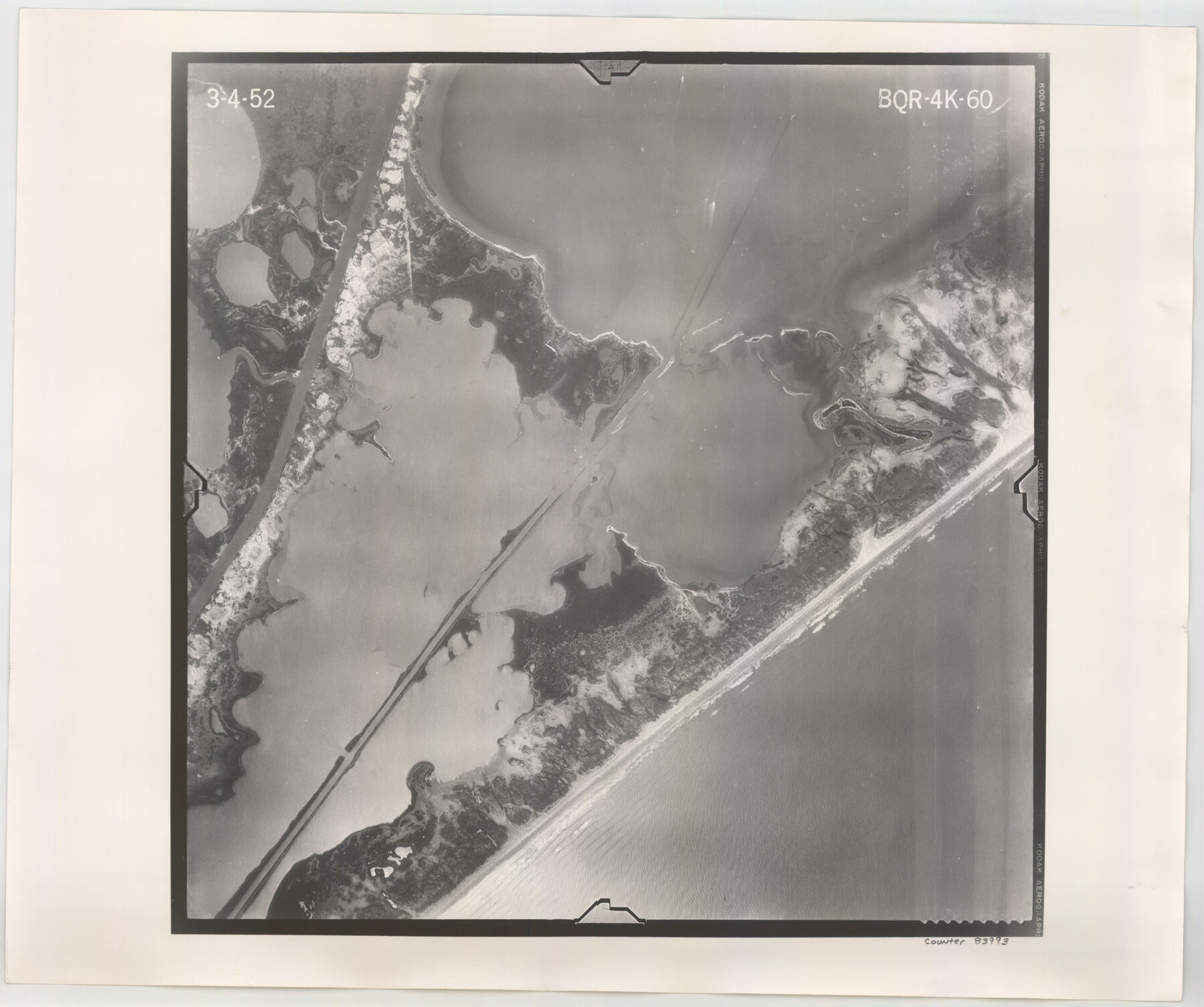
Flight Mission No. BQR-4K, Frame 60, Brazoria County
BQR-4K-60
-
Map/Doc
83993
-
Collection
General Map Collection
-
Object Dates
1952/3/4 (Creation Date)
-
People and Organizations
U. S. Department of Agriculture (Publisher)
-
Counties
Brazoria
-
Subjects
Aerial Photograph
-
Height x Width
18.7 x 22.4 inches
47.5 x 56.9 cm
-
Comments
Flown by Aero Exploration Company of Tulsa, Oklahoma.
Part of: General Map Collection
Hudspeth County Working Sketch 32

Print $20.00
- Digital $50.00
Hudspeth County Working Sketch 32
1972
Size 21.6 x 31.7 inches
Map/Doc 66316
Brewster County Sketch File NS-10

Print $136.00
- Digital $50.00
Brewster County Sketch File NS-10
1947
Size 14.3 x 9.0 inches
Map/Doc 16153
Midland County Working Sketch 1

Print $20.00
- Digital $50.00
Midland County Working Sketch 1
Size 26.8 x 8.7 inches
Map/Doc 70981
Maps & Lists Showing Prison Lands (Oil & Gas) Leased as of June 1955

Digital $50.00
Maps & Lists Showing Prison Lands (Oil & Gas) Leased as of June 1955
1934
Size 29.6 x 38.1 inches
Map/Doc 62880
Township No. 5 South Range No. 9 West of the Indian Meridian

Print $20.00
- Digital $50.00
Township No. 5 South Range No. 9 West of the Indian Meridian
1874
Size 19.2 x 24.4 inches
Map/Doc 75167
Gregg County Working Sketch 25

Print $20.00
- Digital $50.00
Gregg County Working Sketch 25
2006
Size 22.6 x 34.0 inches
Map/Doc 83095
Kaufman County

Print $20.00
- Digital $50.00
Kaufman County
1871
Size 22.3 x 15.0 inches
Map/Doc 3750
Dimmit County Working Sketch 23

Print $20.00
- Digital $50.00
Dimmit County Working Sketch 23
1954
Size 22.5 x 23.3 inches
Map/Doc 68684
Menard County Working Sketch 3

Print $20.00
- Digital $50.00
Menard County Working Sketch 3
1913
Size 15.2 x 13.2 inches
Map/Doc 70950
Borden County Working Sketch 6

Print $20.00
- Digital $50.00
Borden County Working Sketch 6
1944
Size 24.6 x 23.0 inches
Map/Doc 67466
Maps of Gulf Intracoastal Waterway, Texas - Sabine River to the Rio Grande and connecting waterways including ship channels

Print $20.00
- Digital $50.00
Maps of Gulf Intracoastal Waterway, Texas - Sabine River to the Rio Grande and connecting waterways including ship channels
1966
Size 14.5 x 22.2 inches
Map/Doc 61922
Map of Taylor, Bastrop & Houston Railroad in Williamson, Travis, & Bastrop Counties, Texas

Print $20.00
- Digital $50.00
Map of Taylor, Bastrop & Houston Railroad in Williamson, Travis, & Bastrop Counties, Texas
1887
Size 26.3 x 17.8 inches
Map/Doc 65468
You may also like
Flight Mission No. BQR-7K, Frame 32, Brazoria County

Print $20.00
- Digital $50.00
Flight Mission No. BQR-7K, Frame 32, Brazoria County
1952
Size 18.6 x 22.2 inches
Map/Doc 84030
El Paso County Working Sketch 14

Print $20.00
- Digital $50.00
El Paso County Working Sketch 14
1957
Size 10.0 x 27.0 inches
Map/Doc 69036
The Military History of Texas Map!

The Military History of Texas Map!
Size 24.2 x 35.2 inches
Map/Doc 94359
Map of Uvalde Co.

Print $20.00
- Digital $50.00
Map of Uvalde Co.
Size 41.0 x 43.9 inches
Map/Doc 63090
Flight Mission No. DAG-17K, Frame 74, Matagorda County

Print $20.00
- Digital $50.00
Flight Mission No. DAG-17K, Frame 74, Matagorda County
1952
Size 18.5 x 22.3 inches
Map/Doc 86333
Harrison County Rolled Sketch 14

Print $20.00
- Digital $50.00
Harrison County Rolled Sketch 14
1968
Size 25.8 x 20.0 inches
Map/Doc 6157
Cameron County Rolled Sketch 8

Print $40.00
- Digital $50.00
Cameron County Rolled Sketch 8
1937
Size 42.5 x 54.1 inches
Map/Doc 8565
Archer County Sketch File 12

Print $4.00
- Digital $50.00
Archer County Sketch File 12
Size 7.9 x 10.2 inches
Map/Doc 13646
Flight Mission No. DCL-5C, Frame 27, Kenedy County

Print $20.00
- Digital $50.00
Flight Mission No. DCL-5C, Frame 27, Kenedy County
1943
Size 18.5 x 22.4 inches
Map/Doc 85839
Presidio County Working Sketch 70

Print $20.00
- Digital $50.00
Presidio County Working Sketch 70
1961
Size 46.8 x 37.4 inches
Map/Doc 71747
Flight Mission No. DQO-1K, Frame 21, Galveston County

Print $20.00
- Digital $50.00
Flight Mission No. DQO-1K, Frame 21, Galveston County
1952
Size 18.8 x 22.6 inches
Map/Doc 84980
Floyd County Sketch File 20

Print $4.00
- Digital $50.00
Floyd County Sketch File 20
1914
Size 14.5 x 8.9 inches
Map/Doc 22772