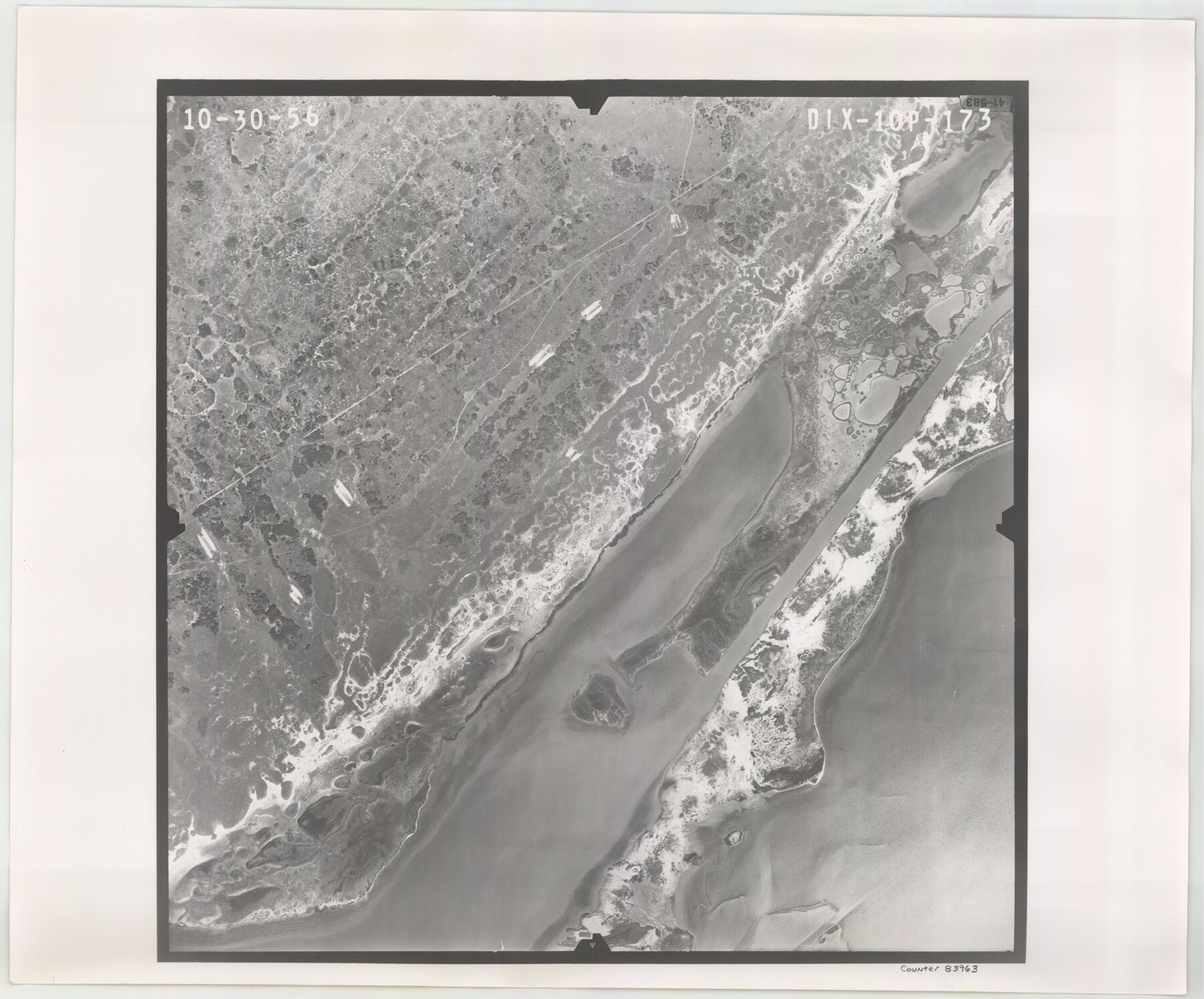
Flight Mission No. DIX-10P, Frame 173, Aransas County
DIX-10P-173
-
Map/Doc
83963
-
Collection
General Map Collection
-
Object Dates
1956/10/30 (Creation Date)
-
People and Organizations
U. S. Department of Agriculture (Publisher)
-
Counties
Aransas
-
Subjects
Aerial Photograph
-
Height x Width
18.5 x 22.3 inches
47.0 x 56.6 cm
-
Comments
Flown by V. L. Beavers and Associates of San Antonio, Texas.
Part of: General Map Collection
Morris County Working Sketch 2

Print $20.00
- Digital $50.00
Morris County Working Sketch 2
1958
Size 24.7 x 21.9 inches
Map/Doc 71201
Brown County Working Sketch 6

Print $20.00
- Digital $50.00
Brown County Working Sketch 6
1948
Size 12.9 x 19.3 inches
Map/Doc 67771
Flight Mission No. BQR-5K, Frame 72, Brazoria County

Print $20.00
- Digital $50.00
Flight Mission No. BQR-5K, Frame 72, Brazoria County
1952
Size 18.9 x 22.4 inches
Map/Doc 84017
Presidio County Working Sketch 134

Print $40.00
- Digital $50.00
Presidio County Working Sketch 134
1989
Size 37.0 x 55.6 inches
Map/Doc 71812
San Augustine County Working Sketch 15

Print $20.00
- Digital $50.00
San Augustine County Working Sketch 15
1959
Size 26.6 x 36.7 inches
Map/Doc 63703
Moore County Working Sketch 11

Print $20.00
- Digital $50.00
Moore County Working Sketch 11
1951
Size 33.1 x 29.8 inches
Map/Doc 71193
Sabine Bank to East Bay including Heald Bank

Print $20.00
- Digital $50.00
Sabine Bank to East Bay including Heald Bank
1960
Size 45.1 x 34.3 inches
Map/Doc 69847
Baylor County Sketch File 30

Print $14.00
- Digital $50.00
Baylor County Sketch File 30
Size 11.4 x 9.0 inches
Map/Doc 14228
Shackelford County Working Sketch 6

Print $20.00
- Digital $50.00
Shackelford County Working Sketch 6
1963
Size 26.1 x 28.9 inches
Map/Doc 63846
Denton County Sketch File 8

Print $6.00
- Digital $50.00
Denton County Sketch File 8
1856
Size 6.9 x 3.8 inches
Map/Doc 20702
Right of Way & Track Map, San Antonio & Aransas Pass Railway Co.

Print $40.00
- Digital $50.00
Right of Way & Track Map, San Antonio & Aransas Pass Railway Co.
1919
Size 25.2 x 56.8 inches
Map/Doc 64218
Angelina County Sketch File 8

Print $22.00
- Digital $50.00
Angelina County Sketch File 8
1858
Size 8.0 x 3.5 inches
Map/Doc 12935
You may also like
Henderson County Working Sketch 38

Print $20.00
- Digital $50.00
Henderson County Working Sketch 38
1982
Size 19.3 x 17.0 inches
Map/Doc 66171

Section J Tech Memorial Park, Inc. Infants Garden

Print $2.00
- Digital $50.00
Section J Tech Memorial Park, Inc. Infants Garden
1949
Size 8.8 x 13.0 inches
Map/Doc 92352
Dallas County Sketch File 13

Print $12.00
- Digital $50.00
Dallas County Sketch File 13
1866
Size 12.8 x 8.2 inches
Map/Doc 20422
[Blk. O1, W. H. Godair]
![90632, [Blk. O1, W. H. Godair], Twichell Survey Records](https://historictexasmaps.com/wmedia_w700/maps/90632-1.tif.jpg)
Print $20.00
- Digital $50.00
[Blk. O1, W. H. Godair]
1913
Size 30.1 x 10.3 inches
Map/Doc 90632
Concho County Sketch File 53

Print $8.00
- Digital $50.00
Concho County Sketch File 53
2002
Size 11.3 x 8.9 inches
Map/Doc 78515
Shackelford County Sketch File 17

Print $4.00
Shackelford County Sketch File 17
2009
Size 14.0 x 8.5 inches
Map/Doc 89230
Map of Mason County

Print $20.00
- Digital $50.00
Map of Mason County
1859
Size 28.4 x 22.4 inches
Map/Doc 3838
Hardin County Working Sketch 42

Print $20.00
- Digital $50.00
Hardin County Working Sketch 42
1917
Size 16.2 x 22.1 inches
Map/Doc 63441
McMullen County Sketch File 15

Print $4.00
- Digital $50.00
McMullen County Sketch File 15
1876
Size 10.0 x 8.0 inches
Map/Doc 31363
Hudspeth County Working Sketch 4

Print $20.00
- Digital $50.00
Hudspeth County Working Sketch 4
1914
Size 16.9 x 20.5 inches
Map/Doc 66285
Colorado River, Bay City to Matagorda Sheet 2

Print $40.00
- Digital $50.00
Colorado River, Bay City to Matagorda Sheet 2
1924
Size 86.2 x 32.8 inches
Map/Doc 65260