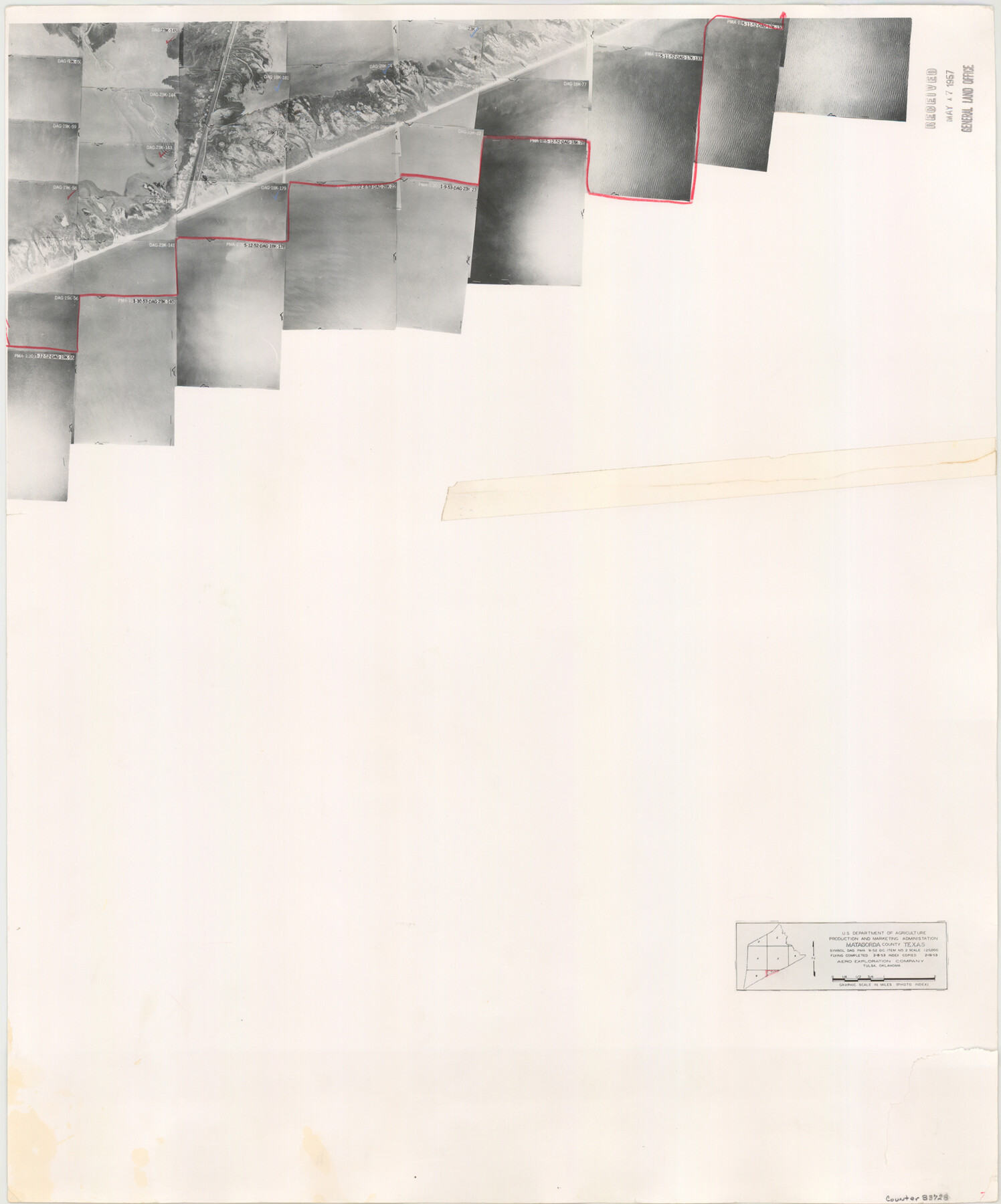
Matagorda County Aerial Photograph Index Sheet 7
Matagorda County Aerial Photograph Index 7
-
Map/Doc
83728
-
Collection
General Map Collection
-
Object Dates
1953/2/19 (Creation Date)
-
People and Organizations
U. S. Department of Agriculture (Publisher)
-
Counties
Matagorda
-
Subjects
Aerial Photograph
-
Height x Width
23.7 x 19.7 inches
60.2 x 50.0 cm
-
Comments
Flying completed February 8, 1953 by Aero Exploration Company of Tulsa, Oklahoma.
Received in office May 17, 1957.
Part of: General Map Collection
Flight Mission No. CRC-4R, Frame 72, Chambers County

Print $20.00
- Digital $50.00
Flight Mission No. CRC-4R, Frame 72, Chambers County
1956
Size 18.8 x 22.4 inches
Map/Doc 84876
Dimmit County Sketch File 62

Print $8.00
- Digital $50.00
Dimmit County Sketch File 62
2012
Size 11.0 x 8.5 inches
Map/Doc 93631
Shelby County Sketch File 16

Print $6.00
- Digital $50.00
Shelby County Sketch File 16
1873
Size 8.2 x 8.6 inches
Map/Doc 36626
Flight Mission No. CGI-3N, Frame 184, Cameron County

Print $20.00
- Digital $50.00
Flight Mission No. CGI-3N, Frame 184, Cameron County
1954
Size 18.5 x 22.3 inches
Map/Doc 84648
Delta County Sketch File 2

Print $4.00
- Digital $50.00
Delta County Sketch File 2
1871
Size 8.4 x 13.2 inches
Map/Doc 20670
[Surveys along the Red River made for titles under Radford Berry, Commissioner]
![32, [Surveys along the Red River made for titles under Radford Berry, Commissioner], General Map Collection](https://historictexasmaps.com/wmedia_w700/maps/32.tif.jpg)
Print $20.00
- Digital $50.00
[Surveys along the Red River made for titles under Radford Berry, Commissioner]
Size 23.3 x 19.5 inches
Map/Doc 32
Calhoun County Rolled Sketch 30

Print $20.00
- Digital $50.00
Calhoun County Rolled Sketch 30
1974
Size 18.6 x 27.2 inches
Map/Doc 5497
Montgomery County Sketch File 15

Print $4.00
- Digital $50.00
Montgomery County Sketch File 15
1906
Size 9.4 x 8.5 inches
Map/Doc 31817
Leon County Rolled Sketch 32

Print $20.00
- Digital $50.00
Leon County Rolled Sketch 32
Size 34.2 x 40.7 inches
Map/Doc 6616
Brazoria County Sketch File 10a

Print $50.00
- Digital $50.00
Brazoria County Sketch File 10a
1912
Size 7.1 x 8.7 inches
Map/Doc 14940
Montgomery County Rolled Sketch 42

Print $20.00
- Digital $50.00
Montgomery County Rolled Sketch 42
1939
Size 14.1 x 20.3 inches
Map/Doc 6815
Travis County Sketch File 19-28

Print $12.00
- Digital $50.00
Travis County Sketch File 19-28
1873
Size 8.6 x 7.7 inches
Map/Doc 38317
You may also like
Nueces County Working Sketch 1

Print $20.00
- Digital $50.00
Nueces County Working Sketch 1
1937
Size 27.9 x 28.5 inches
Map/Doc 71303
Map of Calhoun County Texas

Print $20.00
- Digital $50.00
Map of Calhoun County Texas
1911
Size 27.7 x 34.3 inches
Map/Doc 4514
Hidalgo County Rolled Sketch 17

Print $40.00
- Digital $50.00
Hidalgo County Rolled Sketch 17
1963
Size 68.4 x 42.9 inches
Map/Doc 9172
Working Sketch in Collingsworth County [showing East line of County along border with Oklahoma]
![92086, Working Sketch in Collingsworth County [showing East line of County along border with Oklahoma], Twichell Survey Records](https://historictexasmaps.com/wmedia_w700/maps/92086-1.tif.jpg)
Print $20.00
- Digital $50.00
Working Sketch in Collingsworth County [showing East line of County along border with Oklahoma]
1910
Size 4.5 x 25.9 inches
Map/Doc 92086
Val Verde County Sketch File 5

Print $10.00
- Digital $50.00
Val Verde County Sketch File 5
1889
Size 11.3 x 8.4 inches
Map/Doc 39180
Old Miscellaneous File 25

Print $40.00
- Digital $50.00
Old Miscellaneous File 25
Size 17.8 x 15.2 inches
Map/Doc 75632
Howard County Sketch File 9

Print $20.00
- Digital $50.00
Howard County Sketch File 9
Size 19.4 x 15.9 inches
Map/Doc 11797
1882 Map of the Texas & Pacific R-Y Reserve

Print $20.00
- Digital $50.00
1882 Map of the Texas & Pacific R-Y Reserve
1887
Size 44.1 x 42.1 inches
Map/Doc 83560
Wichita County Working Sketch 7

Print $20.00
- Digital $50.00
Wichita County Working Sketch 7
1919
Size 20.8 x 13.6 inches
Map/Doc 72516
2nd Chain to Long Reef, Texas

Print $40.00
- Digital $50.00
2nd Chain to Long Reef, Texas
1860
Size 30.9 x 52.6 inches
Map/Doc 69984
[Map of Encinal County]
![3517, [Map of Encinal County], General Map Collection](https://historictexasmaps.com/wmedia_w700/maps/3517-1.tif.jpg)
Print $20.00
- Digital $50.00
[Map of Encinal County]
1872
Size 27.9 x 21.9 inches
Map/Doc 3517
Map of The Surveyed Part of Peters Colony Texas

Print $40.00
- Digital $50.00
Map of The Surveyed Part of Peters Colony Texas
1854
Size 53.1 x 33.9 inches
Map/Doc 83008