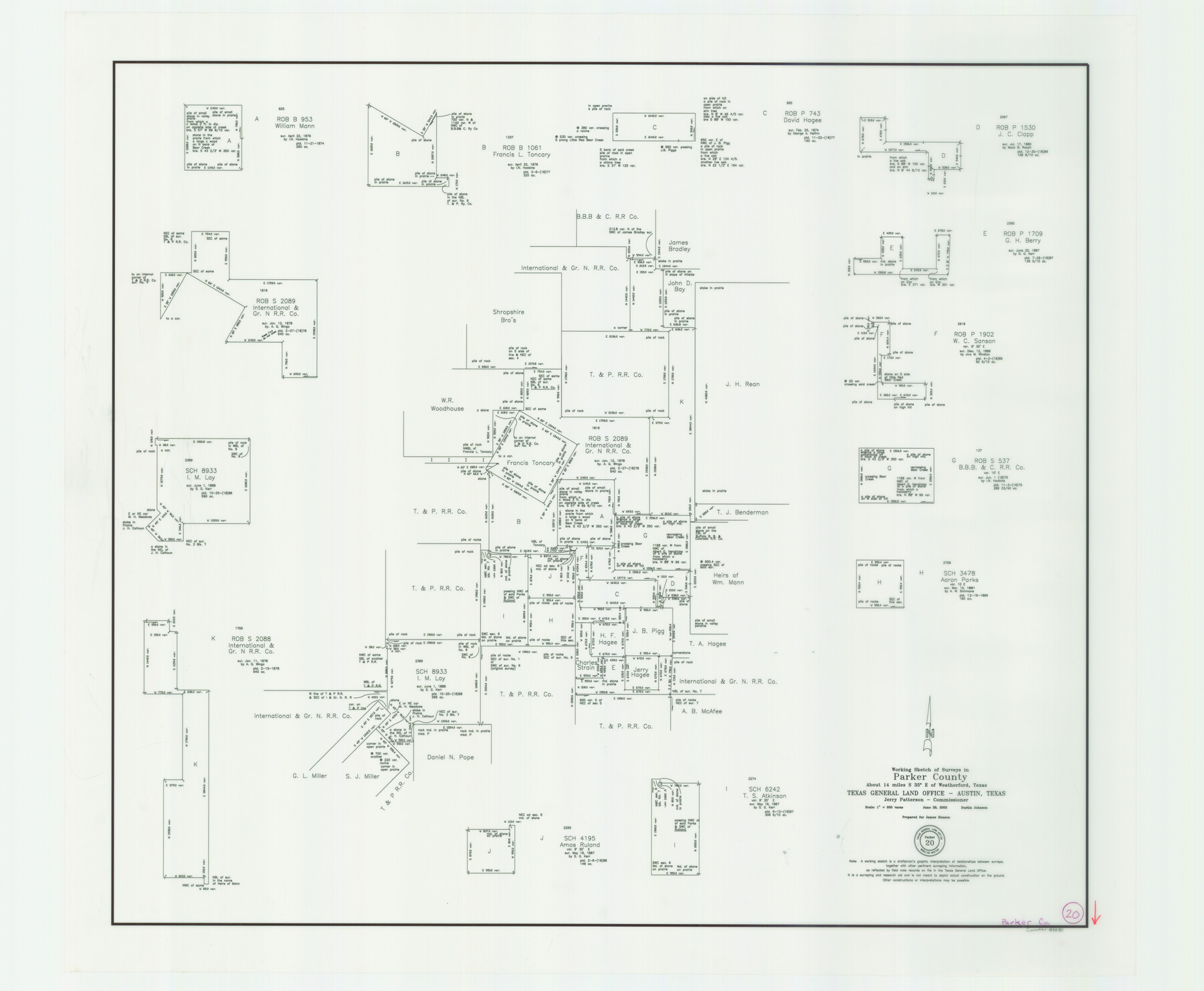
Parker County Working Sketch 20
-
Map/Doc
83581
-
Collection
General Map Collection
-
Object Dates
6/28/2005 (Creation Date)
-
People and Organizations
Jerry E. Patterson (GLO Commissioner)
Dustin Johnson (Draftsman)
-
Counties
Parker
-
Subjects
Surveying Working Sketch
-
Scale
1" = 600 varas
Part of: General Map Collection
Kinney County Rolled Sketch 13

Print $20.00
- Digital $50.00
Kinney County Rolled Sketch 13
1949
Size 24.9 x 37.4 inches
Map/Doc 77562
Flight Mission No. DQN-2K, Frame 143, Calhoun County

Print $20.00
- Digital $50.00
Flight Mission No. DQN-2K, Frame 143, Calhoun County
1953
Size 18.7 x 22.3 inches
Map/Doc 84312
Hudspeth County Rolled Sketch 19

Print $20.00
- Digital $50.00
Hudspeth County Rolled Sketch 19
Size 47.8 x 44.6 inches
Map/Doc 9205
Garza County Sketch File F

Print $20.00
- Digital $50.00
Garza County Sketch File F
Size 9.8 x 18.9 inches
Map/Doc 11553
[San Antonio & Aransas Pass Railway Co.]
![64261, [San Antonio & Aransas Pass Railway Co.], General Map Collection](https://historictexasmaps.com/wmedia_w700/maps/64261.tif.jpg)
Print $20.00
- Digital $50.00
[San Antonio & Aransas Pass Railway Co.]
Size 22.9 x 35.1 inches
Map/Doc 64261
Jones County Working Sketch 3

Print $20.00
- Digital $50.00
Jones County Working Sketch 3
1938
Size 28.7 x 25.4 inches
Map/Doc 66641
Terrell County Working Sketch 18a

Print $40.00
- Digital $50.00
Terrell County Working Sketch 18a
1931
Size 48.9 x 34.6 inches
Map/Doc 62168
[Surveying Test and Answer Key]
![76001, [Surveying Test and Answer Key], General Map Collection](https://historictexasmaps.com/wmedia_w700/maps/76001.tif.jpg)
Print $20.00
- Digital $50.00
[Surveying Test and Answer Key]
Size 17.5 x 19.9 inches
Map/Doc 76001
Stephens County Working Sketch 30

Print $20.00
- Digital $50.00
Stephens County Working Sketch 30
1977
Size 26.4 x 15.7 inches
Map/Doc 63973
Webb County Working Sketch 67

Print $40.00
- Digital $50.00
Webb County Working Sketch 67
1966
Size 60.9 x 43.7 inches
Map/Doc 72434

Roberts County Rolled Sketch 3

Print $40.00
- Digital $50.00
Roberts County Rolled Sketch 3
Size 38.0 x 49.7 inches
Map/Doc 8355
You may also like
Dawson County Sketch File 18

Print $10.00
- Digital $50.00
Dawson County Sketch File 18
1940
Size 14.2 x 9.0 inches
Map/Doc 20567
[Sketch of part of G. & M. Block 5]
![93073, [Sketch of part of G. & M. Block 5], Twichell Survey Records](https://historictexasmaps.com/wmedia_w700/maps/93073-1.tif.jpg)
Print $2.00
- Digital $50.00
[Sketch of part of G. & M. Block 5]
Size 6.7 x 8.7 inches
Map/Doc 93073
Marion County Working Sketch 45

Print $20.00
- Digital $50.00
Marion County Working Sketch 45
2005
Size 27.0 x 29.2 inches
Map/Doc 83576
Flight Mission No. CRE-1R, Frame 196, Jackson County

Print $20.00
- Digital $50.00
Flight Mission No. CRE-1R, Frame 196, Jackson County
1956
Size 18.6 x 22.4 inches
Map/Doc 85350
Presidio County Working Sketch 14

Print $20.00
- Digital $50.00
Presidio County Working Sketch 14
1942
Size 10.9 x 17.7 inches
Map/Doc 71690
Edwards County Working Sketch 110

Print $40.00
- Digital $50.00
Edwards County Working Sketch 110
1972
Size 49.7 x 39.6 inches
Map/Doc 68986
Bailey County

Print $40.00
- Digital $50.00
Bailey County
1956
Size 48.8 x 31.5 inches
Map/Doc 73074
Rockwall County Boundary File 75a

Print $10.00
- Digital $50.00
Rockwall County Boundary File 75a
Size 13.0 x 8.2 inches
Map/Doc 58481
Flight Mission No. CRE-2R, Frame 153, Jackson County

Print $20.00
- Digital $50.00
Flight Mission No. CRE-2R, Frame 153, Jackson County
1956
Size 18.7 x 22.3 inches
Map/Doc 85364
Blocks 14, 15, and 16, Capitol Syndicate Subdivision of Capitol Land Reservation Leagues

Print $20.00
- Digital $50.00
Blocks 14, 15, and 16, Capitol Syndicate Subdivision of Capitol Land Reservation Leagues
1908
Size 24.6 x 37.1 inches
Map/Doc 90736
[Sketch for Mineral Application 16696-16697, Pecos River]
![65612, [Sketch for Mineral Application 16696-16697, Pecos River], General Map Collection](https://historictexasmaps.com/wmedia_w700/maps/65612-1.tif.jpg)
Print $40.00
- Digital $50.00
[Sketch for Mineral Application 16696-16697, Pecos River]
Size 37.4 x 74.9 inches
Map/Doc 65612
Amistad International Reservoir on Rio Grande 97

Print $20.00
- Digital $50.00
Amistad International Reservoir on Rio Grande 97
1950
Size 28.5 x 41.1 inches
Map/Doc 75528