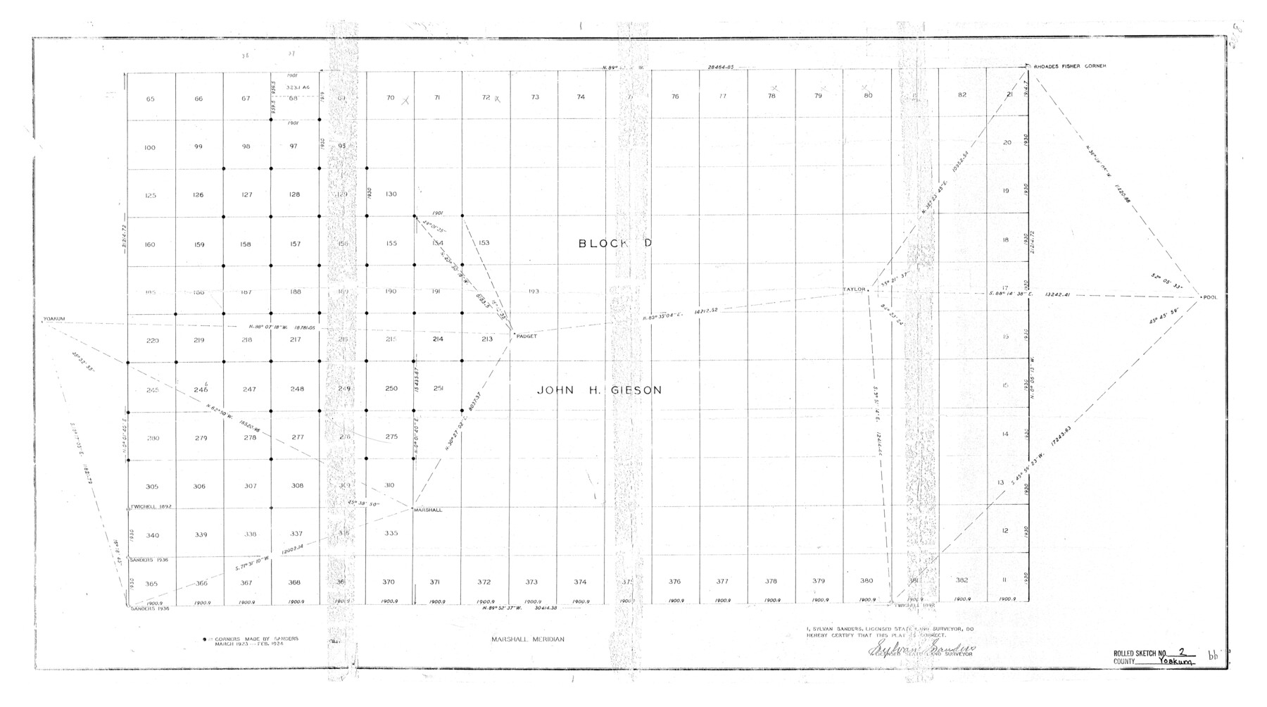
Yoakum County Rolled Sketch 2
[North part of John Gibson Block D]
-
Map/Doc
8288
-
Collection
General Map Collection
-
Object Dates
1943/2/24 (Creation Date)
1943/4/5 (File Date)
-
People and Organizations
Sylvan Sanders (Surveyor/Engineer)
-
Counties
Yoakum
-
Subjects
Surveying Rolled Sketch
-
Height x Width
18.6 x 33.4 inches
47.2 x 84.8 cm
Part of: General Map Collection
Howard County Rolled Sketch 6

Print $20.00
- Digital $50.00
Howard County Rolled Sketch 6
Size 17.3 x 18.1 inches
Map/Doc 6235
Comal County Working Sketch 13

Print $20.00
- Digital $50.00
Comal County Working Sketch 13
1988
Size 32.6 x 21.3 inches
Map/Doc 68179
Hutchinson County Sketch File 44

Print $82.00
- Digital $50.00
Hutchinson County Sketch File 44
1989
Size 11.2 x 9.0 inches
Map/Doc 27311
Official Map of the City of Bryan from Actual Survey [West Part]
![76864, Official Map of the City of Bryan from Actual Survey [West Part], General Map Collection](https://historictexasmaps.com/wmedia_w700/maps/76864.tif.jpg)
Print $40.00
- Digital $50.00
Official Map of the City of Bryan from Actual Survey [West Part]
1898
Size 52.5 x 27.4 inches
Map/Doc 76864
Current Miscellaneous File 118

Print $214.00
- Digital $50.00
Current Miscellaneous File 118
Map/Doc 87238
Childress County Working Sketch 6

Print $20.00
- Digital $50.00
Childress County Working Sketch 6
1954
Size 19.1 x 24.3 inches
Map/Doc 68022
![4828, [San Diego], General Map Collection](https://historictexasmaps.com/wmedia_w700/maps/4828-1.tif.jpg)
Rains County Working Sketch 11

Print $20.00
- Digital $50.00
Rains County Working Sketch 11
Size 40.1 x 35.1 inches
Map/Doc 71837
Uvalde County Working Sketch 67

Print $20.00
- Digital $50.00
Uvalde County Working Sketch 67
1956
Size 22.8 x 20.9 inches
Map/Doc 75973
King County Working Sketch 4

Print $20.00
- Digital $50.00
King County Working Sketch 4
1939
Size 42.9 x 25.7 inches
Map/Doc 70168
Stonewall County Sketch File 7

Print $24.00
- Digital $50.00
Stonewall County Sketch File 7
1896
Size 11.4 x 7.4 inches
Map/Doc 37213
Montgomery Co.

Print $40.00
- Digital $50.00
Montgomery Co.
1943
Size 45.1 x 53.3 inches
Map/Doc 66940
You may also like
General Highway Map. Detail of Cities and Towns in Jefferson County, Texas [Beaumont-Port Arthur vicinity]
![79145, General Highway Map. Detail of Cities and Towns in Jefferson County, Texas [Beaumont-Port Arthur vicinity], Texas State Library and Archives](https://historictexasmaps.com/wmedia_w700/maps/79145.tif.jpg)
Print $20.00
General Highway Map. Detail of Cities and Towns in Jefferson County, Texas [Beaumont-Port Arthur vicinity]
1940
Size 24.8 x 18.3 inches
Map/Doc 79145
Water-Shed of the Sulphur River in Texas Drainage Area

Print $4.00
- Digital $50.00
Water-Shed of the Sulphur River in Texas Drainage Area
1925
Size 16.6 x 28.4 inches
Map/Doc 65154
Flight Mission No. DIX-5P, Frame 102, Aransas County

Print $20.00
- Digital $50.00
Flight Mission No. DIX-5P, Frame 102, Aransas County
1956
Size 17.7 x 18.0 inches
Map/Doc 83780
Oldham School Land, Cochran County

Print $20.00
- Digital $50.00
Oldham School Land, Cochran County
Size 13.4 x 21.8 inches
Map/Doc 90302
Map of the State of Texas [East Part]
![81920, Map of the State of Texas [East Part], General Map Collection](https://historictexasmaps.com/wmedia_w700/maps/81920.tif.jpg)
Print $40.00
- Digital $50.00
Map of the State of Texas [East Part]
1938
Size 67.8 x 37.3 inches
Map/Doc 81920
El Paso County State Real Property Sketch 2

Print $20.00
- Digital $50.00
El Paso County State Real Property Sketch 2
2007
Size 24.4 x 36.2 inches
Map/Doc 88671
Wise County Rolled Sketch 2

Print $40.00
- Digital $50.00
Wise County Rolled Sketch 2
1941
Size 58.7 x 44.8 inches
Map/Doc 10155
Fort Bend County Working Sketch 24

Print $20.00
- Digital $50.00
Fort Bend County Working Sketch 24
1981
Size 27.1 x 30.5 inches
Map/Doc 69230
Flight Mission No. BQR-22K, Frame 47, Brazoria County

Print $20.00
- Digital $50.00
Flight Mission No. BQR-22K, Frame 47, Brazoria County
1953
Size 18.8 x 22.4 inches
Map/Doc 84131
Matagorda County NRC Article 33.136 Location Key Sheet

Print $20.00
- Digital $50.00
Matagorda County NRC Article 33.136 Location Key Sheet
1973
Size 27.0 x 23.0 inches
Map/Doc 88833
Refugio County Working Sketch 9

Print $20.00
- Digital $50.00
Refugio County Working Sketch 9
1941
Size 38.6 x 28.3 inches
Map/Doc 63518
Wise County Sketch File 54

Print $22.00
- Digital $50.00
Wise County Sketch File 54
2012
Size 11.0 x 8.5 inches
Map/Doc 93553