Classification of Blocks 1 to 58, Set Apart to University by Constitution of 1876 by M. B. Moore
University Field Notes
Classification of Blocks 1 to 58, Set Apart to University by Constitution of 1876 by M. B. Moore
- 
                          Map/Doc
81726
 - 
                            Collection
General Map Collection
 - 
                            People and Organizations
W.C. Walsh (GLO Commissioner)
Maurice B. Moore (Surveyor/Engineer)
C.W. Holt (Surveyor/Engineer)
R.M. Thomson (Surveyor/Engineer)
 - 
                            Counties
Tom Green Crockett Pecos
 - 
                            Subjects
Bound Volume University Land
 - 
                            Medium
paper, bound volume
 - 
                            Comments
See 97177 for an index to the University Land field note volumes.
 
Related maps
            University Land Field Note Volume Index


            University Land Field Note Volume Index
2023
Size 8.5 x 11.0 inches
                                Map/Doc 97177
            Part of: General Map Collection
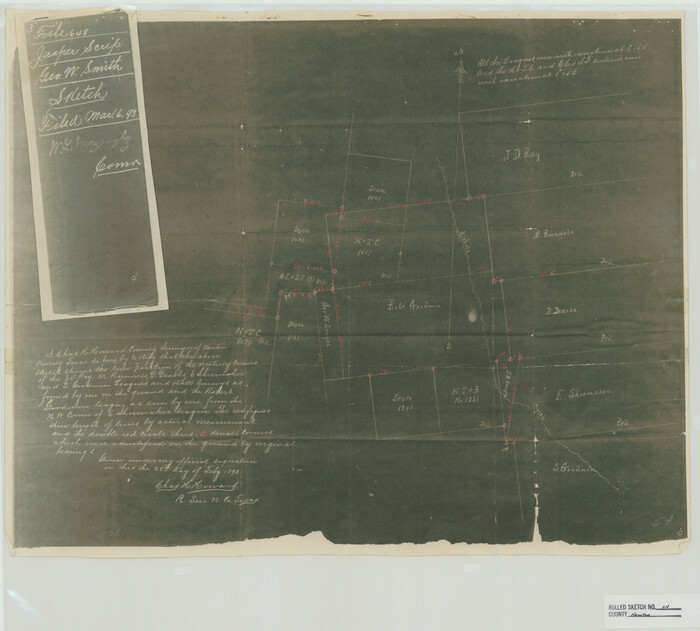
            Reeves County Working Sketch 48


                                            Print $20.00                    
                                             -                         Digital $50.00                                    
                Reeves County Working Sketch 48
1974
Size 41.5 x 31.1 inches
                                Map/Doc 63491
            
            Crockett County Working Sketch 50


                                            Print $20.00                    
                                             -                         Digital $50.00                                    
                Crockett County Working Sketch 50
1940
Size 30.3 x 24.9 inches
                                Map/Doc 68383
            
            Flight Mission No. CRC-4R, Frame 82, Chambers County


                                            Print $20.00                    
                                             -                         Digital $50.00                                    
                Flight Mission No. CRC-4R, Frame 82, Chambers County
1956
Size 18.7 x 22.6 inches
                                Map/Doc 84886
            
            Flight Mission No. CRC-3R, Frame 197, Chambers County


                                            Print $20.00                    
                                             -                         Digital $50.00                                    
                Flight Mission No. CRC-3R, Frame 197, Chambers County
1956
Size 18.5 x 22.3 inches
                                Map/Doc 84852
            
            Foard County Sketch File 7


                                            Print $3.00                    
                                             -                         Digital $50.00                                    
                Foard County Sketch File 7
1872
Size 10.0 x 17.2 inches
                                Map/Doc 11491
            
            La Salle County Working Sketch 48


                                            Print $20.00                    
                                             -                         Digital $50.00                                    
                La Salle County Working Sketch 48
1983
Size 26.2 x 36.0 inches
                                Map/Doc 70349
            
            Kimble County Rolled Sketch 32


                                            Print $20.00                    
                                             -                         Digital $50.00                                    
                Kimble County Rolled Sketch 32
1973
Size 23.1 x 19.6 inches
                                Map/Doc 6522
            
            Map of part of the State of Texas


                                            Print $3.00                    
                                             -                         Digital $50.00                                    
                Map of part of the State of Texas
1857
Size 8.0 x 9.6 inches
                                Map/Doc 95363
            
            Medina County


                                            Print $40.00                    
                                             -                         Digital $50.00                                    
                Medina County
1976
Size 52.5 x 43.2 inches
                                Map/Doc 73237
            
            Limestone County State Real Property Sketch 1


                                            Print $20.00                    
                                             -                         Digital $50.00                                    
                Limestone County State Real Property Sketch 1
2010
Size 35.9 x 24.6 inches
                                Map/Doc 89570
            
            Palo Pinto County Rolled Sketch 9


                                            Print $40.00                    
                                             -                         Digital $50.00                                    
                Palo Pinto County Rolled Sketch 9
Size 78.0 x 30.9 inches
                                Map/Doc 9675
            
            Limestone County Working Sketch 25


                                            Print $20.00                    
                                             -                         Digital $50.00                                    
                Limestone County Working Sketch 25
1981
Size 26.1 x 21.1 inches
                                Map/Doc 70575
            You may also like
            Upton County Rolled Sketch 59A


                                            Print $20.00                    
                                             -                         Digital $50.00                                    
                Upton County Rolled Sketch 59A
Size 35.4 x 45.6 inches
                                Map/Doc 76422
            
            Polk County Rolled Sketch 27


                                            Print $20.00                    
                                             -                         Digital $50.00                                    
                Polk County Rolled Sketch 27
1944
Size 21.1 x 26.6 inches
                                Map/Doc 7315
            
            Pecos County Rolled Sketch 82


                                            Print $20.00                    
                                             -                         Digital $50.00                                    
                Pecos County Rolled Sketch 82
1930
Size 28.4 x 25.7 inches
                                Map/Doc 10190
            
            General Highway Map, San Patricio County, Texas


                                            Print $20.00                    
                                    
                General Highway Map, San Patricio County, Texas
1961
Size 18.1 x 24.5 inches
                                Map/Doc 79647
            
            Hunt County Sketch File 17


                                            Print $8.00                    
                                             -                         Digital $50.00                                    
                Hunt County Sketch File 17
1861
Size 10.6 x 8.2 inches
                                Map/Doc 27114
            
            Crockett County Rolled Sketch 91


                                            Print $40.00                    
                                             -                         Digital $50.00                                    
                Crockett County Rolled Sketch 91
1928
Size 26.0 x 63.9 inches
                                Map/Doc 9033
            
            Meanders of Sulphur Fork of Red River, Red River County, Texas


                                            Print $2.00                    
                                             -                         Digital $50.00                                    
                Meanders of Sulphur Fork of Red River, Red River County, Texas
1841
Size 10.0 x 8.0 inches
                                Map/Doc 65782
            
            Presidio County Sketch File 94


                                            Print $6.00                    
                                             -                         Digital $50.00                                    
                Presidio County Sketch File 94
1955
Size 14.2 x 8.8 inches
                                Map/Doc 34770
            
            Sketch of Survey 3, Block 1 in Dickens and King Counties


                                            Print $20.00                    
                                             -                         Digital $50.00                                    
                Sketch of Survey 3, Block 1 in Dickens and King Counties
1914
Size 10.0 x 27.5 inches
                                Map/Doc 10765
            
            [Old Coastal Chart of Texas Coast showing passes with depth readings]


                                            Print $40.00                    
                                             -                         Digital $50.00                                    
                [Old Coastal Chart of Texas Coast showing passes with depth readings]
Size 25.4 x 48.6 inches
                                Map/Doc 4662
            
            Coast Chart No. 207 - Matagorda Bay, Texas


                                            Print $20.00                    
                                             -                         Digital $50.00                                    
                Coast Chart No. 207 - Matagorda Bay, Texas
1888
Size 34.2 x 40.7 inches
                                Map/Doc 70000
            
            Hutchinson County Sketch File 14


                                            Print $20.00                    
                                             -                         Digital $50.00                                    
                Hutchinson County Sketch File 14
1920
Size 21.5 x 33.8 inches
                                Map/Doc 11812