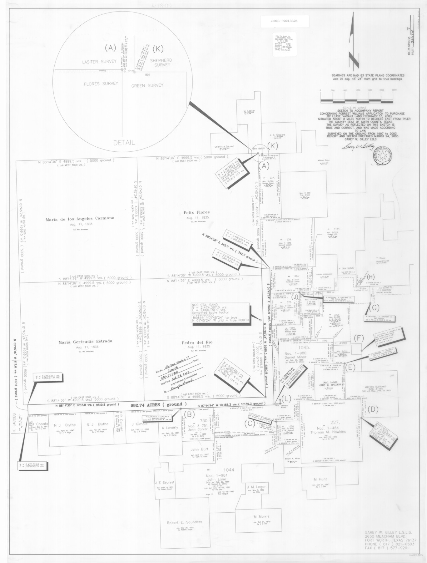
Smith County Rolled Sketch 7
Sketch to accompany report concerning Forrest Williams application to purchase or lease vacant land
-
Map/Doc
80141
-
Collection
General Map Collection
-
Object Dates
2003/3/24 (Creation Date)
2003/10/23 (File Date)
2003 (Survey Date)
-
People and Organizations
Garey W. Gilley (Surveyor/Engineer)
-
Counties
Smith
-
Subjects
Surveying Rolled Sketch
-
Height x Width
46.4 x 35.3 inches
117.9 x 89.7 cm
-
Medium
mylar, print
-
Comments
See MA-77784.
Part of: General Map Collection
Trinity County Rolled Sketch 3

Print $40.00
- Digital $50.00
Trinity County Rolled Sketch 3
1948
Size 33.8 x 50.3 inches
Map/Doc 10025
[Map of a portion of Bexar and Travis Districts]
![16943, [Map of a portion of Bexar and Travis Districts], General Map Collection](https://historictexasmaps.com/wmedia_w700/maps/16943.tif.jpg)
Print $20.00
- Digital $50.00
[Map of a portion of Bexar and Travis Districts]
Size 47.5 x 47.2 inches
Map/Doc 16943
Jackson County Sketch File 21a

Print $20.00
- Digital $50.00
Jackson County Sketch File 21a
1937
Size 25.7 x 35.4 inches
Map/Doc 11843
Pecos County Rolled Sketch 54

Print $11.00
- Digital $50.00
Pecos County Rolled Sketch 54
1916
Size 9.7 x 15.0 inches
Map/Doc 48099
Schleicher County Sketch File 15

Print $22.00
- Digital $50.00
Schleicher County Sketch File 15
1928
Size 8.1 x 12.9 inches
Map/Doc 36504
Tom Green County Working Sketch 4

Print $20.00
- Digital $50.00
Tom Green County Working Sketch 4
1948
Size 42.5 x 34.1 inches
Map/Doc 69373
Flight Mission No. DQN-2K, Frame 30, Calhoun County

Print $20.00
- Digital $50.00
Flight Mission No. DQN-2K, Frame 30, Calhoun County
1953
Size 18.5 x 22.2 inches
Map/Doc 84237
Calhoun County Rolled Sketch 14

Print $20.00
- Digital $50.00
Calhoun County Rolled Sketch 14
Size 22.2 x 40.7 inches
Map/Doc 5455
Nautical Chart 885-SC Intracoastal Waterway - Ellender to Galveston Bay, Louisiana-Texas

Print $40.00
- Digital $50.00
Nautical Chart 885-SC Intracoastal Waterway - Ellender to Galveston Bay, Louisiana-Texas
1972
Size 16.1 x 59.4 inches
Map/Doc 69836
No. 1 - Survey for a road from the Brazo Santiago to the Rio Grande

Print $20.00
- Digital $50.00
No. 1 - Survey for a road from the Brazo Santiago to the Rio Grande
1847
Size 18.4 x 27.3 inches
Map/Doc 72875
Burleson County Working Sketch 29

Print $20.00
- Digital $50.00
Burleson County Working Sketch 29
1981
Size 24.7 x 24.7 inches
Map/Doc 67748
Aransas County Rolled Sketch 27A

Print $2.00
- Digital $50.00
Aransas County Rolled Sketch 27A
1930
Size 8.9 x 7.2 inches
Map/Doc 5058
You may also like
Palo Pinto County Working Sketch 4

Print $20.00
- Digital $50.00
Palo Pinto County Working Sketch 4
1913
Map/Doc 71387
Aransas County, Texas

Print $20.00
- Digital $50.00
Aransas County, Texas
1880
Size 19.3 x 20.2 inches
Map/Doc 665
Fractional Township No. 7 South Range No. 3 East of the Indian Meridian, Indian Territory

Print $20.00
- Digital $50.00
Fractional Township No. 7 South Range No. 3 East of the Indian Meridian, Indian Territory
1898
Size 19.2 x 24.3 inches
Map/Doc 75206
Castro County Sketch File 11

Print $2.00
- Digital $50.00
Castro County Sketch File 11
1935
Size 11.4 x 7.1 inches
Map/Doc 17504
Flight Mission No. DAG-24K, Frame 149, Matagorda County

Print $20.00
- Digital $50.00
Flight Mission No. DAG-24K, Frame 149, Matagorda County
1953
Size 18.4 x 16.2 inches
Map/Doc 86563
Freestone County Rolled Sketch 2

Print $20.00
- Digital $50.00
Freestone County Rolled Sketch 2
1952
Size 27.1 x 30.2 inches
Map/Doc 5910
Lavaca County Working Sketch 10

Print $20.00
- Digital $50.00
Lavaca County Working Sketch 10
1952
Size 19.1 x 23.8 inches
Map/Doc 70363
Galveston County Rolled Sketch 4

Print $20.00
- Digital $50.00
Galveston County Rolled Sketch 4
1838
Size 26.0 x 40.1 inches
Map/Doc 5949
Working Sketch in Wheeler County

Print $20.00
- Digital $50.00
Working Sketch in Wheeler County
1910
Size 7.0 x 39.5 inches
Map/Doc 90731
Travis County Appraisal District Plat Map 2_3215

Print $20.00
- Digital $50.00
Travis County Appraisal District Plat Map 2_3215
Size 21.5 x 26.4 inches
Map/Doc 94222
Maps of Gulf Intracoastal Waterway, Texas - Sabine River to the Rio Grande and connecting waterways including ship channels

Print $20.00
- Digital $50.00
Maps of Gulf Intracoastal Waterway, Texas - Sabine River to the Rio Grande and connecting waterways including ship channels
1966
Size 14.6 x 22.2 inches
Map/Doc 61955
General Highway Map, Matagorda County, Texas

Print $20.00
General Highway Map, Matagorda County, Texas
1939
Size 24.6 x 18.4 inches
Map/Doc 79188