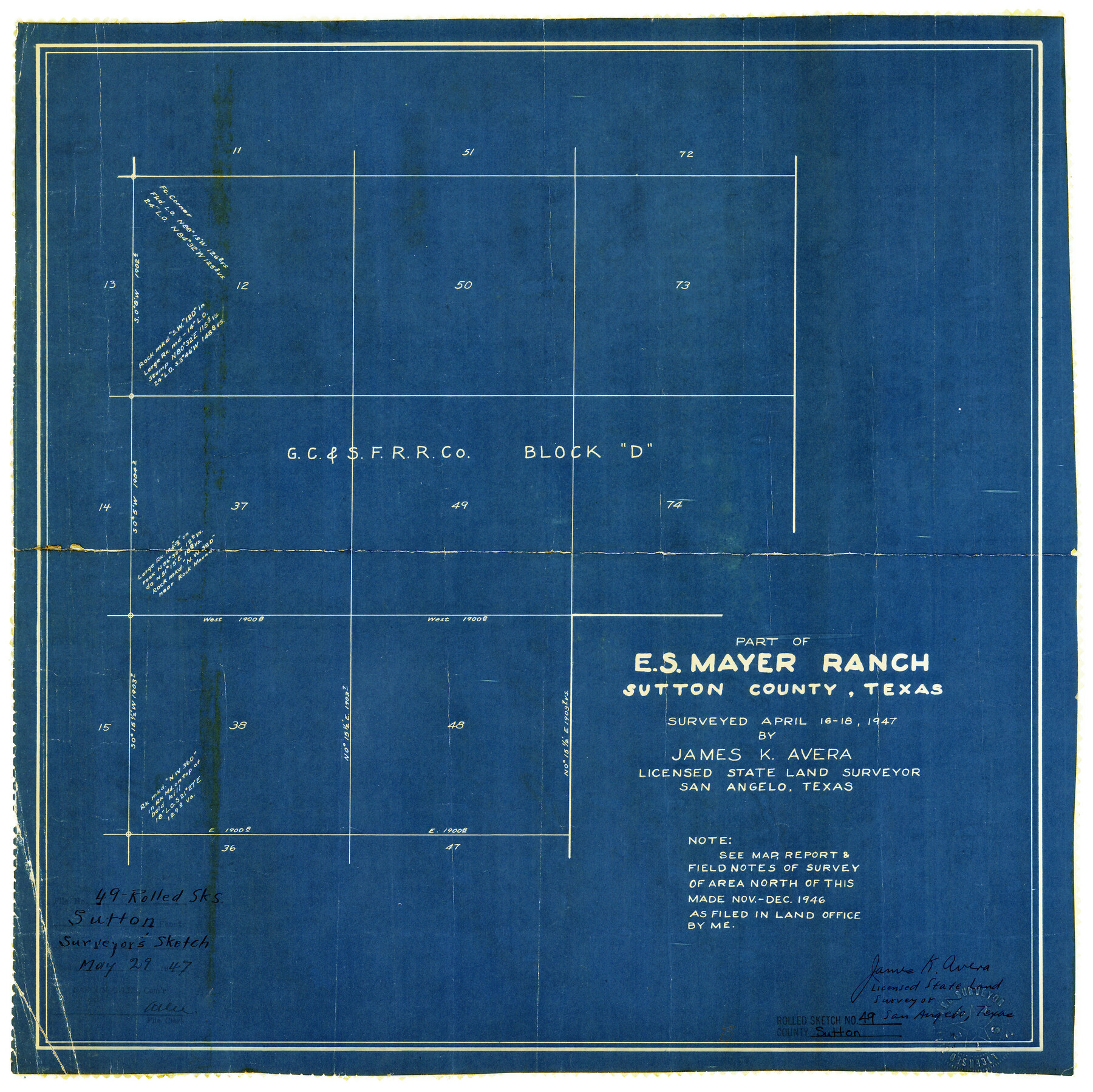
Sutton County Rolled Sketch 49
Part of E.S. Mayer Ranch, Sutton County, Texas
-
Map/Doc
7890
-
Collection
General Map Collection
-
Object Dates
4/18/1947 (Creation Date)
5/29/1947 (File Date)
-
People and Organizations
James K. Avera (Surveyor/Engineer)
-
Counties
Sutton
-
Subjects
Surveying Rolled Sketch
-
Height x Width
19.2 x 19.3 inches
48.8 x 49.0 cm
-
Medium
blueprint/diazo
Part of: General Map Collection
Roberts County Working Sketch 13

Print $20.00
- Digital $50.00
Roberts County Working Sketch 13
1971
Size 20.2 x 16.0 inches
Map/Doc 63539
Travis County Working Sketch 50

Print $20.00
- Digital $50.00
Travis County Working Sketch 50
1984
Size 37.8 x 29.0 inches
Map/Doc 69434
North Sulphur River, Kinsing Sheet

Print $20.00
- Digital $50.00
North Sulphur River, Kinsing Sheet
1925
Size 30.5 x 40.8 inches
Map/Doc 65165
Victoria County

Print $20.00
- Digital $50.00
Victoria County
1895
Size 29.7 x 25.7 inches
Map/Doc 4118
Howard County Boundary File 2c

Print $44.00
- Digital $50.00
Howard County Boundary File 2c
Size 5.0 x 8.9 inches
Map/Doc 55126
Panola County Working Sketch 2

Print $20.00
- Digital $50.00
Panola County Working Sketch 2
1920
Map/Doc 71411
Brewster County Rolled Sketch 114

Print $20.00
- Digital $50.00
Brewster County Rolled Sketch 114
1964
Size 11.6 x 18.5 inches
Map/Doc 5275
Hutchinson County Rolled Sketch 44-15

Print $20.00
- Digital $50.00
Hutchinson County Rolled Sketch 44-15
2002
Size 24.0 x 36.0 inches
Map/Doc 77551
Limestone County Rolled Sketch 4

Print $20.00
- Digital $50.00
Limestone County Rolled Sketch 4
1921
Size 35.1 x 35.1 inches
Map/Doc 9573
Map of Nacogdoches County

Print $20.00
- Digital $50.00
Map of Nacogdoches County
1846
Size 43.9 x 39.7 inches
Map/Doc 87356
Burnet County Working Sketch 27

Print $20.00
- Digital $50.00
Burnet County Working Sketch 27
2025
Size 24.5 x 36.0 inches
Map/Doc 97419
Childress County

Print $20.00
- Digital $50.00
Childress County
1921
Size 44.1 x 32.2 inches
Map/Doc 4746
You may also like
Kent County Sketch File 4

Print $20.00
- Digital $50.00
Kent County Sketch File 4
Size 27.5 x 28.3 inches
Map/Doc 11912
Real County Working Sketch 54

Print $20.00
- Digital $50.00
Real County Working Sketch 54
1960
Size 31.0 x 39.5 inches
Map/Doc 71946
University and College Lands

Print $20.00
- Digital $50.00
University and College Lands
1841
Size 21.3 x 27.0 inches
Map/Doc 169
Calhoun County Working Sketch 12

Print $20.00
- Digital $50.00
Calhoun County Working Sketch 12
1976
Size 35.2 x 47.7 inches
Map/Doc 67828
Angelina County Working Sketch 22b

Print $20.00
- Digital $50.00
Angelina County Working Sketch 22b
1953
Size 21.5 x 19.6 inches
Map/Doc 67104
Reeves County Sketch File 22

Print $4.00
- Digital $50.00
Reeves County Sketch File 22
Size 14.3 x 8.7 inches
Map/Doc 35220
Dimmit County Working Sketch 53

Print $20.00
- Digital $50.00
Dimmit County Working Sketch 53
1990
Size 25.5 x 26.0 inches
Map/Doc 68714
Upshur County Working Sketch 10a

Print $20.00
- Digital $50.00
Upshur County Working Sketch 10a
1969
Size 15.8 x 18.7 inches
Map/Doc 69567
No. 3 Chart of Channel connecting Corpus Christi Bay with Aransas Bay, Texas

Print $20.00
- Digital $50.00
No. 3 Chart of Channel connecting Corpus Christi Bay with Aransas Bay, Texas
1878
Size 18.3 x 27.9 inches
Map/Doc 72783
Concho County Sketch File 38

Print $4.00
- Digital $50.00
Concho County Sketch File 38
1938
Size 14.6 x 9.0 inches
Map/Doc 19188
Bosque County Sketch File 30b

Print $8.00
- Digital $50.00
Bosque County Sketch File 30b
1854
Size 12.7 x 8.1 inches
Map/Doc 14826
Travis County Sketch File 7

Print $5.00
- Digital $50.00
Travis County Sketch File 7
1859
Size 9.6 x 17.0 inches
Map/Doc 38286