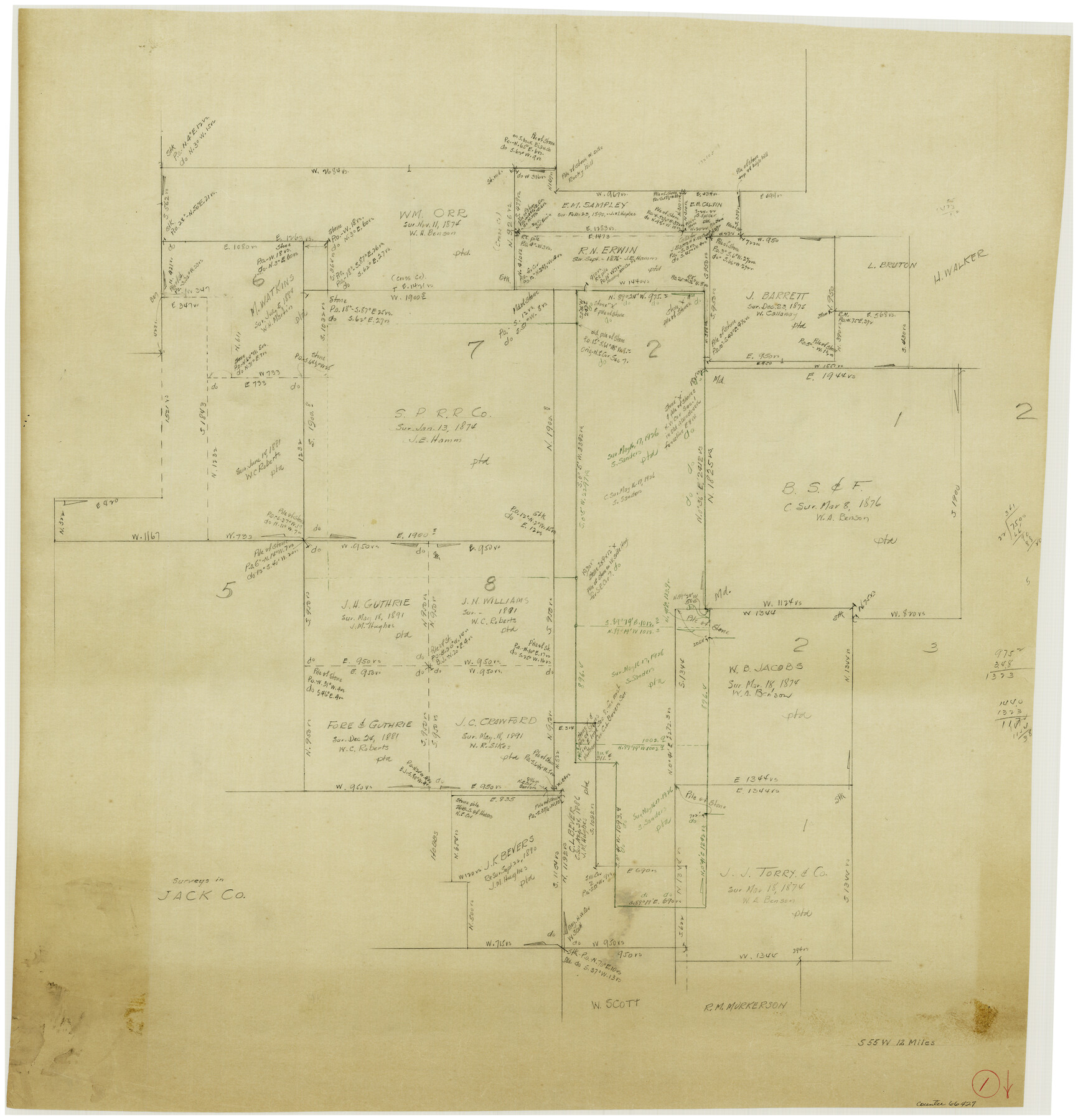
Jack County Working Sketch 1
-
Map/Doc
66427
-
Collection
General Map Collection
-
Counties
Jack
-
Subjects
Surveying Working Sketch
-
Height x Width
28.4 x 27.1 inches
72.1 x 68.8 cm
Part of: General Map Collection
Brazoria County NRC Article 33.136 Sketch 29

Print $24.00
Brazoria County NRC Article 33.136 Sketch 29
2025
Map/Doc 97474
[Surveys East of river copied from U.S. map of Township No. 6 South, Range No. 9 West of the Indian Meridian, Oklahoma]
![75185, [Surveys East of river copied from U.S. map of Township No. 6 South, Range No. 9 West of the Indian Meridian, Oklahoma], General Map Collection](https://historictexasmaps.com/wmedia_w700/maps/75185.tif.jpg)
Print $2.00
- Digital $50.00
[Surveys East of river copied from U.S. map of Township No. 6 South, Range No. 9 West of the Indian Meridian, Oklahoma]
Size 13.3 x 9.0 inches
Map/Doc 75185
Nacogdoches County Sketch File 15

Print $10.00
- Digital $50.00
Nacogdoches County Sketch File 15
1926
Size 11.2 x 8.7 inches
Map/Doc 32262
Blanco County Working Sketch 1

Print $20.00
- Digital $50.00
Blanco County Working Sketch 1
Size 31.1 x 17.4 inches
Map/Doc 76449
Flight Mission No. BRA-7M, Frame 21, Jefferson County

Print $20.00
- Digital $50.00
Flight Mission No. BRA-7M, Frame 21, Jefferson County
1953
Size 18.4 x 22.2 inches
Map/Doc 85472
Nueces County Working Sketch 3

Print $20.00
- Digital $50.00
Nueces County Working Sketch 3
1972
Size 38.9 x 45.0 inches
Map/Doc 71305
Monterey Harbor, California

Print $20.00
- Digital $50.00
Monterey Harbor, California
1852
Size 15.7 x 13.8 inches
Map/Doc 97230
Stonewall County

Print $20.00
- Digital $50.00
Stonewall County
1889
Size 26.2 x 21.9 inches
Map/Doc 4060
Guadalupe County Sketch File 8

Print $7.00
- Digital $50.00
Guadalupe County Sketch File 8
1871
Size 10.4 x 8.3 inches
Map/Doc 24674
Sketch D No. 2 Showing the Progress of the Survey of Cape Fear and Vicinity in Sections No. IV & V

Digital $50.00
Sketch D No. 2 Showing the Progress of the Survey of Cape Fear and Vicinity in Sections No. IV & V
1852
Size 12.3 x 10.0 inches
Map/Doc 97209
Red River County Rolled Sketch 11

Print $40.00
- Digital $50.00
Red River County Rolled Sketch 11
2006
Size 36.8 x 48.6 inches
Map/Doc 88614
Hardin County Sketch File 32

Print $8.00
- Digital $50.00
Hardin County Sketch File 32
Size 12.9 x 8.3 inches
Map/Doc 25163
You may also like
Schleicher County Sketch File 29

Print $44.00
- Digital $50.00
Schleicher County Sketch File 29
1940
Size 31.9 x 23.7 inches
Map/Doc 12306
Menard County Working Sketch 24

Print $20.00
- Digital $50.00
Menard County Working Sketch 24
1950
Size 38.1 x 22.6 inches
Map/Doc 70971
Van Zandt County Sketch File 15b

Print $4.00
- Digital $50.00
Van Zandt County Sketch File 15b
1858
Size 12.2 x 7.7 inches
Map/Doc 39408
Flight Mission No. DAG-18K, Frame 187, Matagorda County

Print $20.00
- Digital $50.00
Flight Mission No. DAG-18K, Frame 187, Matagorda County
1952
Size 16.2 x 15.8 inches
Map/Doc 86379
La Salle County Working Sketch 15

Print $20.00
- Digital $50.00
La Salle County Working Sketch 15
1935
Size 27.4 x 17.2 inches
Map/Doc 70316
North end of Brazos Island

Print $20.00
- Digital $50.00
North end of Brazos Island
Size 25.9 x 18.2 inches
Map/Doc 72917
[Sketch in Reagan, Irion and Tom Green Counties]
![75551, [Sketch in Reagan, Irion and Tom Green Counties], Maddox Collection](https://historictexasmaps.com/wmedia_w700/maps/75551.tif.jpg)
Print $20.00
- Digital $50.00
[Sketch in Reagan, Irion and Tom Green Counties]
Size 12.5 x 30.1 inches
Map/Doc 75551
[Sketch for Mineral Application 26501 - Sabine River, T. A. Oldhausen]
![2837, [Sketch for Mineral Application 26501 - Sabine River, T. A. Oldhausen], General Map Collection](https://historictexasmaps.com/wmedia_w700/maps/2837.tif.jpg)
Print $20.00
- Digital $50.00
[Sketch for Mineral Application 26501 - Sabine River, T. A. Oldhausen]
1931
Size 24.1 x 36.0 inches
Map/Doc 2837
Harris County Rolled Sketch 80B

Print $20.00
- Digital $50.00
Harris County Rolled Sketch 80B
Size 32.0 x 44.2 inches
Map/Doc 9137
Blanco County Working Sketch 6

Print $20.00
- Digital $50.00
Blanco County Working Sketch 6
1923
Size 17.6 x 12.5 inches
Map/Doc 67365
Briscoe County Working Sketch 4

Print $20.00
- Digital $50.00
Briscoe County Working Sketch 4
1919
Size 26.6 x 22.7 inches
Map/Doc 67807
Brewster County Sketch File FN-32

Print $8.00
- Digital $50.00
Brewster County Sketch File FN-32
Size 11.1 x 8.7 inches
Map/Doc 15854