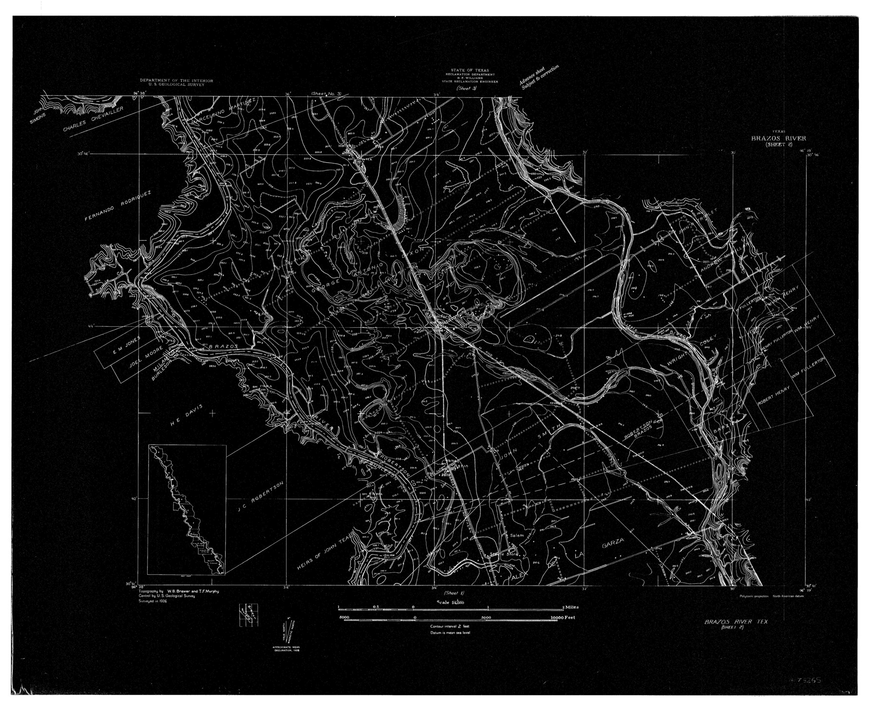
Brazos River, Brazos River Sheet 2
-
Map/Doc
78265
-
Collection
General Map Collection
-
Object Dates
1926 (Creation Date)
-
People and Organizations
Texas State Reclamation Department (Publisher)
W.B. Brewer (Surveyor/Engineer)
T.F. Murphy (Surveyor/Engineer)
-
Counties
Brazos Burleson Milam Robertson
-
Subjects
River Surveys Topographic
-
Height x Width
25.2 x 31.0 inches
64.0 x 78.7 cm
-
Comments
Brazos River Sheet 2 located north of the Brazos River Sheet 1 and south of the Brazos River Sheet 3.
Part of: General Map Collection
San Jacinto County Sketch File 6

Print $4.00
San Jacinto County Sketch File 6
1847
Size 12.7 x 8.2 inches
Map/Doc 35703
[Sketch for Mineral Application 16787 - Pecos River Bed, A. T. Freet]
![2816, [Sketch for Mineral Application 16787 - Pecos River Bed, A. T. Freet], General Map Collection](https://historictexasmaps.com/wmedia_w700/maps/2816-1.tif.jpg)
Print $20.00
- Digital $50.00
[Sketch for Mineral Application 16787 - Pecos River Bed, A. T. Freet]
1927
Size 18.4 x 32.7 inches
Map/Doc 2816
Irion County Working Sketch 2

Print $20.00
- Digital $50.00
Irion County Working Sketch 2
1921
Size 34.2 x 20.6 inches
Map/Doc 66411
Hardin County Sketch File 56

Print $10.00
- Digital $50.00
Hardin County Sketch File 56
Size 11.2 x 8.7 inches
Map/Doc 25221
Baylor County Rolled Sketch 11

Print $20.00
- Digital $50.00
Baylor County Rolled Sketch 11
Size 19.4 x 19.9 inches
Map/Doc 5128
Upshur County Sketch File 20

Print $4.00
- Digital $50.00
Upshur County Sketch File 20
1873
Size 5.7 x 8.3 inches
Map/Doc 38792
Duval County Working Sketch 27

Print $20.00
- Digital $50.00
Duval County Working Sketch 27
1947
Size 20.7 x 16.8 inches
Map/Doc 68751
Stephens County

Print $20.00
- Digital $50.00
Stephens County
1940
Size 42.5 x 40.4 inches
Map/Doc 73293
Freestone County Working Sketch 26

Print $20.00
- Digital $50.00
Freestone County Working Sketch 26
1907
Size 27.7 x 30.3 inches
Map/Doc 69268
Goliad County Sketch File 23

Print $4.00
- Digital $50.00
Goliad County Sketch File 23
1877
Size 8.1 x 12.8 inches
Map/Doc 24295
Map of the Texas & Pacific Railway "Gould System" Lines and Connections

Print $20.00
- Digital $50.00
Map of the Texas & Pacific Railway "Gould System" Lines and Connections
1890
Size 18.1 x 37.0 inches
Map/Doc 94102
Brown County Sketch File 16

Print $6.00
- Digital $50.00
Brown County Sketch File 16
1872
Size 10.8 x 10.1 inches
Map/Doc 16612
You may also like
El Paso County Sketch File 26

Print $20.00
- Digital $50.00
El Paso County Sketch File 26
Size 24.8 x 21.9 inches
Map/Doc 11457
Houston County Rolled Sketch 12

Print $20.00
- Digital $50.00
Houston County Rolled Sketch 12
Size 11.8 x 18.1 inches
Map/Doc 95396
[Blocks T1, T2, T3, S3, A, 05, 02 and vicinity]
![92196, [Blocks T1, T2, T3, S3, A, 05, 02 and vicinity], Twichell Survey Records](https://historictexasmaps.com/wmedia_w700/maps/92196-1.tif.jpg)
Print $20.00
- Digital $50.00
[Blocks T1, T2, T3, S3, A, 05, 02 and vicinity]
Size 20.3 x 22.9 inches
Map/Doc 92196
Map of Portland, Texas in San Patricio County

Print $20.00
- Digital $50.00
Map of Portland, Texas in San Patricio County
Size 39.8 x 46.0 inches
Map/Doc 48886
Refugio County Working Sketch 5

Print $20.00
- Digital $50.00
Refugio County Working Sketch 5
1938
Size 36.5 x 42.2 inches
Map/Doc 63514
Presidio County Working Sketch 65

Print $20.00
- Digital $50.00
Presidio County Working Sketch 65
1958
Size 31.1 x 26.3 inches
Map/Doc 71742
Hudspeth County Sketch File 40

Print $8.00
- Digital $50.00
Hudspeth County Sketch File 40
1944
Size 11.2 x 8.6 inches
Map/Doc 27012
Blanco County Rolled Sketch 10

Print $20.00
- Digital $50.00
Blanco County Rolled Sketch 10
Size 28.0 x 25.6 inches
Map/Doc 5146
Plat of tract surveyed for S. W. Inglish

Print $20.00
- Digital $50.00
Plat of tract surveyed for S. W. Inglish
1920
Size 18.2 x 6.7 inches
Map/Doc 90822
Crockett County Rolled Sketch 60

Print $20.00
- Digital $50.00
Crockett County Rolled Sketch 60
Size 18.7 x 18.9 inches
Map/Doc 5603
Map of Jefferson County

Print $20.00
- Digital $50.00
Map of Jefferson County
1862
Size 22.5 x 21.9 inches
Map/Doc 3727
Presidio County Rolled Sketch 105

Print $40.00
- Digital $50.00
Presidio County Rolled Sketch 105
Size 67.7 x 42.9 inches
Map/Doc 76180