San Patricio County Rolled Sketch 48
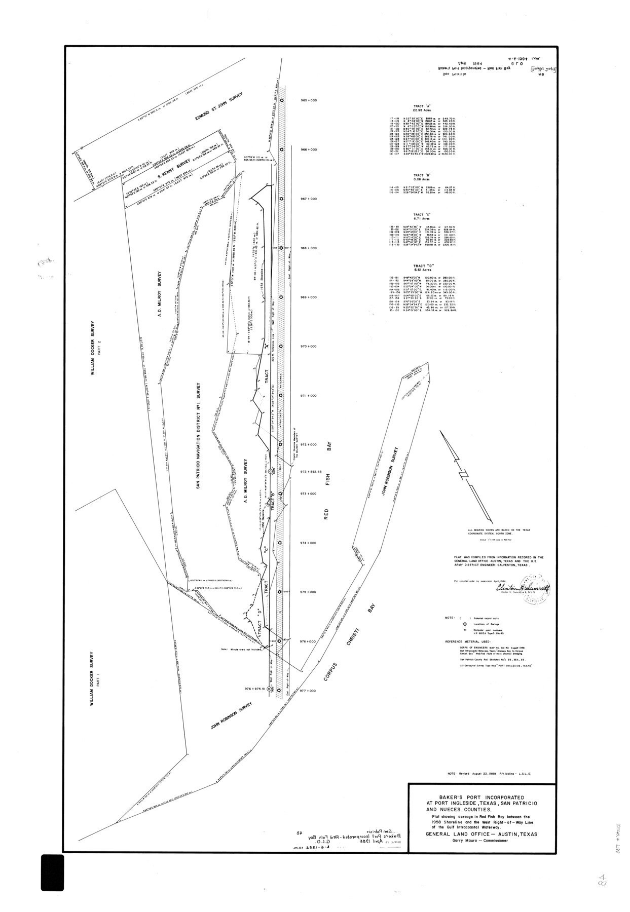
Baker's Port Incorporated at Port Ingleside, Texas, San Patricio and Nueces Counties - plat showing acreage in Red Fish Bay between the 1958 shoreline and the west right-of-way line of the Gulf Intracoastal Waterway
-
Map/Doc
7733
-
Collection
General Map Collection
-
Object Dates
4/1984 (Creation Date)
4/6/1984 (File Date)
8/22/1989 (Revision Date)
-
People and Organizations
Clinton H. Sumrall (Surveyor/Engineer)
Rosendo V. Molina (Surveyor/Engineer)
-
Counties
San Patricio Nueces
-
Subjects
Surveying Rolled Sketch
-
Height x Width
37.0 x 25.6 inches
94.0 x 65.0 cm
-
Scale
1" = 144 varas
Part of: General Map Collection
Mason County Sketch File 6

Print $4.00
- Digital $50.00
Mason County Sketch File 6
1875
Size 8.8 x 14.5 inches
Map/Doc 30687
Flight Mission No. CGI-4N, Frame 195, Cameron County

Print $20.00
- Digital $50.00
Flight Mission No. CGI-4N, Frame 195, Cameron County
1955
Size 18.5 x 22.3 inches
Map/Doc 84698
Reconnaissance of Aransas Pass, Texas

Print $20.00
- Digital $50.00
Reconnaissance of Aransas Pass, Texas
1852
Size 14.4 x 13.6 inches
Map/Doc 76171
Navigation Maps of Gulf Intracoastal Waterway, Port Arthur to Brownsville, Texas

Print $4.00
- Digital $50.00
Navigation Maps of Gulf Intracoastal Waterway, Port Arthur to Brownsville, Texas
1951
Size 16.7 x 21.3 inches
Map/Doc 65444
Flight Mission No. BRA-16M, Frame 49, Jefferson County

Print $20.00
- Digital $50.00
Flight Mission No. BRA-16M, Frame 49, Jefferson County
1953
Size 18.4 x 22.5 inches
Map/Doc 85666
Briscoe County Sketch File E

Print $40.00
- Digital $50.00
Briscoe County Sketch File E
Size 26.0 x 33.7 inches
Map/Doc 11003
Flight Mission No. CUG-3P, Frame 20, Kleberg County

Print $20.00
- Digital $50.00
Flight Mission No. CUG-3P, Frame 20, Kleberg County
1956
Size 18.4 x 22.3 inches
Map/Doc 86230

Atascosa County Rolled Sketch 18

Print $20.00
- Digital $50.00
Atascosa County Rolled Sketch 18
1955
Size 17.6 x 23.9 inches
Map/Doc 5098
Wichita County Boundary File 2

Print $30.00
- Digital $50.00
Wichita County Boundary File 2
Size 9.1 x 4.7 inches
Map/Doc 59900
Stephens County Working Sketch 3

Print $3.00
- Digital $50.00
Stephens County Working Sketch 3
1919
Size 11.3 x 9.9 inches
Map/Doc 63946
Midland County Boundary File 3

Print $4.00
- Digital $50.00
Midland County Boundary File 3
Size 8.2 x 8.3 inches
Map/Doc 57174
You may also like
Brewster County Working Sketch 106

Print $20.00
- Digital $50.00
Brewster County Working Sketch 106
1980
Size 43.3 x 31.8 inches
Map/Doc 67706
Flight Mission No. DQO-2K, Frame 161, Galveston County

Print $20.00
- Digital $50.00
Flight Mission No. DQO-2K, Frame 161, Galveston County
1952
Size 18.7 x 22.4 inches
Map/Doc 85050
Flight Mission No. DIX-3P, Frame 168, Aransas County

Print $20.00
- Digital $50.00
Flight Mission No. DIX-3P, Frame 168, Aransas County
1956
Size 17.7 x 18.3 inches
Map/Doc 83774
No. 1 - Survey for a road from the Brazo Santiago to the Rio Grande

Print $20.00
- Digital $50.00
No. 1 - Survey for a road from the Brazo Santiago to the Rio Grande
1847
Size 18.3 x 27.0 inches
Map/Doc 72873
Travis County Working Sketch 61

Print $20.00
- Digital $50.00
Travis County Working Sketch 61
1995
Size 20.9 x 24.7 inches
Map/Doc 69445
San Jacinto Co.

Print $20.00
- Digital $50.00
San Jacinto Co.
1889
Size 46.4 x 37.9 inches
Map/Doc 63016
Duval County Rolled Sketch 33B

Digital $50.00
Duval County Rolled Sketch 33B
Size 42.5 x 76.2 inches
Map/Doc 8819
Runnels County

Print $40.00
- Digital $50.00
Runnels County
1948
Size 49.8 x 39.8 inches
Map/Doc 95629
Tarrant County State Real Property Sketch 1

Print $60.00
- Digital $50.00
Tarrant County State Real Property Sketch 1
2007
Size 24.5 x 35.3 inches
Map/Doc 88666
Rusk County Sketch File 6

Print $4.00
Rusk County Sketch File 6
1848
Size 6.3 x 7.9 inches
Map/Doc 35499
Angelina County Sketch File 24

Print $8.00
- Digital $50.00
Angelina County Sketch File 24
1893
Size 8.9 x 5.6 inches
Map/Doc 13065
Flight Mission No. DCL-6C, Frame 115, Kenedy County

Print $20.00
- Digital $50.00
Flight Mission No. DCL-6C, Frame 115, Kenedy County
1943
Size 18.5 x 22.4 inches
Map/Doc 85945