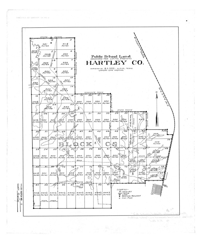
Official Map of the City of Bryan from Actual Survey [West Part]
A-6-38b
- 
                          Map/Doc
76864
 - 
                            Collection
General Map Collection
 - 
                            Object Dates
1898 (Creation Date)
1927 (Tracing Date)
 - 
                            People and Organizations
H.J. MacNair (Draftsman)
 - 
                            Counties
Brazos
 - 
                            Subjects
City
 - 
                            Height x Width
52.5 x 27.4 inches
133.4 x 69.6 cm
 - 
                            Comments
Gift of Robert E. Bigham.
Traced in 1927 by L. W. Ramsey.
See map 3203 for west part. 
Part of: General Map Collection
            Reagan County Rolled Sketch 22


                                            Print $20.00                    
                                             -                         Digital $50.00                                    
                Reagan County Rolled Sketch 22
Size 33.9 x 33.1 inches
                                Map/Doc 9817
            
            Texas Panhandle East Boundary Line


                                            Print $20.00                    
                                             -                         Digital $50.00                                    
                Texas Panhandle East Boundary Line
1898
Size 32.1 x 8.8 inches
                                Map/Doc 1700
            
            Maps of Gulf Intracoastal Waterway, Texas - Sabine River to the Rio Grande and connecting waterways including ship channels


                                            Print $20.00                    
                                             -                         Digital $50.00                                    
                Maps of Gulf Intracoastal Waterway, Texas - Sabine River to the Rio Grande and connecting waterways including ship channels
1966
Size 14.5 x 22.3 inches
                                Map/Doc 61936
            
            Flight Mission No. DQN-1K, Frame 43, Calhoun County


                                            Print $20.00                    
                                             -                         Digital $50.00                                    
                Flight Mission No. DQN-1K, Frame 43, Calhoun County
1953
Size 18.6 x 22.3 inches
                                Map/Doc 84143
            
            Brewster County Rolled Sketch 101


                                            Print $40.00                    
                                             -                         Digital $50.00                                    
                Brewster County Rolled Sketch 101
1927
Size 63.0 x 46.2 inches
                                Map/Doc 10648
            
            Flight Mission No. BRA-16M, Frame 115, Jefferson County


                                            Print $20.00                    
                                             -                         Digital $50.00                                    
                Flight Mission No. BRA-16M, Frame 115, Jefferson County
1953
Size 18.5 x 22.2 inches
                                Map/Doc 85725
            
            Upton County Sketch File 28


                                            Print $5.00                    
                                             -                         Digital $50.00                                    
                Upton County Sketch File 28
1929
Size 22.8 x 31.8 inches
                                Map/Doc 12521
            
            San Jacinto County Sketch File 5


                                            Print $2.00                    
                                    
                San Jacinto County Sketch File 5
1848
Size 8.1 x 14.5 inches
                                Map/Doc 35702
            
            Flight Mission No. CGI-4N, Frame 178, Cameron County


                                            Print $20.00                    
                                             -                         Digital $50.00                                    
                Flight Mission No. CGI-4N, Frame 178, Cameron County
1955
Size 18.6 x 22.3 inches
                                Map/Doc 84681
            
            Hopkins County Rolled Sketch 2


                                            Print $40.00                    
                                             -                         Digital $50.00                                    
                Hopkins County Rolled Sketch 2
1951
Size 41.6 x 51.8 inches
                                Map/Doc 9180
            
            Collin County Boundary File 18 and 18a


                                            Print $8.00                    
                                             -                         Digital $50.00                                    
                Collin County Boundary File 18 and 18a
Size 7.8 x 4.0 inches
                                Map/Doc 51717
            
            Concho County Rolled Sketch 8


                                            Print $20.00                    
                                             -                         Digital $50.00                                    
                Concho County Rolled Sketch 8
1956
Size 24.0 x 15.9 inches
                                Map/Doc 5546
            You may also like
            Edwards County Working Sketch 26


                                            Print $20.00                    
                                             -                         Digital $50.00                                    
                Edwards County Working Sketch 26
1942
Size 31.8 x 28.8 inches
                                Map/Doc 68902
            
            Controlled Mosaic by Jack Amman Photogrammetric Engineers, Inc - Sheet 27


                                            Print $20.00                    
                                             -                         Digital $50.00                                    
                Controlled Mosaic by Jack Amman Photogrammetric Engineers, Inc - Sheet 27
1954
Size 20.0 x 24.0 inches
                                Map/Doc 83478
            
            Texas, Corpus Christi Bay, Red Fish Bay to Nueces Bay


                                            Print $40.00                    
                                             -                         Digital $50.00                                    
                Texas, Corpus Christi Bay, Red Fish Bay to Nueces Bay
1934
Size 31.8 x 48.3 inches
                                Map/Doc 73459
            
            Crosby County Working Sketch 6


                                            Print $20.00                    
                                             -                         Digital $50.00                                    
                Crosby County Working Sketch 6
1912
Size 19.4 x 18.0 inches
                                Map/Doc 68440
            
            Polk County Sketch File 5


                                            Print $2.00                    
                                             -                         Digital $50.00                                    
                Polk County Sketch File 5
Size 8.0 x 7.0 inches
                                Map/Doc 34128
            
            Flight Mission No. DQO-3K, Frame 25, Galveston County


                                            Print $20.00                    
                                             -                         Digital $50.00                                    
                Flight Mission No. DQO-3K, Frame 25, Galveston County
1952
Size 18.8 x 22.4 inches
                                Map/Doc 85066
            
            Map of the Country Between the Frontiers of Arkansas and New Mexico embracing the section explored in 1849, 51, and 52


                                            Print $40.00                    
                                    
                Map of the Country Between the Frontiers of Arkansas and New Mexico embracing the section explored in 1849, 51, and 52
1852
Size 29.6 x 62.1 inches
                                Map/Doc 76219
            
            Township No. 2 South Range No. 24 West of the Indian Meridian


                                            Print $20.00                    
                                             -                         Digital $50.00                                    
                Township No. 2 South Range No. 24 West of the Indian Meridian
1875
Size 19.3 x 24.4 inches
                                Map/Doc 75174
            
            Flight Mission No. BRA-7M, Frame 180, Jefferson County


                                            Print $20.00                    
                                             -                         Digital $50.00                                    
                Flight Mission No. BRA-7M, Frame 180, Jefferson County
1953
Size 18.7 x 22.4 inches
                                Map/Doc 85548
            
            Flight Mission No. BQR-22K, Frame 41, Brazoria County


                                            Print $20.00                    
                                             -                         Digital $50.00                                    
                Flight Mission No. BQR-22K, Frame 41, Brazoria County
1953
Size 18.8 x 22.5 inches
                                Map/Doc 84125
            
            Presidio County Rolled Sketch 53


                                            Print $20.00                    
                                             -                         Digital $50.00                                    
                Presidio County Rolled Sketch 53
1911
Size 13.0 x 22.2 inches
                                Map/Doc 7346