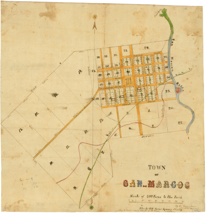
[Plat of Victoria, Texas]
-
Map/Doc
76270
-
Collection
Texas State Library and Archives
-
Object Dates
1850 (Creation Date)
-
Counties
Victoria
-
Subjects
City
-
Height x Width
14.1 x 11.5 inches
35.8 x 29.2 cm
-
Comments
Prints available courtesy of the Texas State Library and Archives.
More info can be found here: TSLAC Map 02221-68
Part of: Texas State Library and Archives
General Highway Map. Detail of Cities and Towns in Hays County, Texas [San Marcos and vicinity]
![79514, General Highway Map. Detail of Cities and Towns in Hays County, Texas [San Marcos and vicinity], Texas State Library and Archives](https://historictexasmaps.com/wmedia_w700/maps/79514.tif.jpg)
![79514, General Highway Map. Detail of Cities and Towns in Hays County, Texas [San Marcos and vicinity], Texas State Library and Archives](https://historictexasmaps.com/wmedia_w700/maps/79514.tif.jpg)
Print $20.00
General Highway Map. Detail of Cities and Towns in Hays County, Texas [San Marcos and vicinity]
1961
Size 17.9 x 24.5 inches
Map/Doc 79514
General Highway Map, Williamson County, Texas
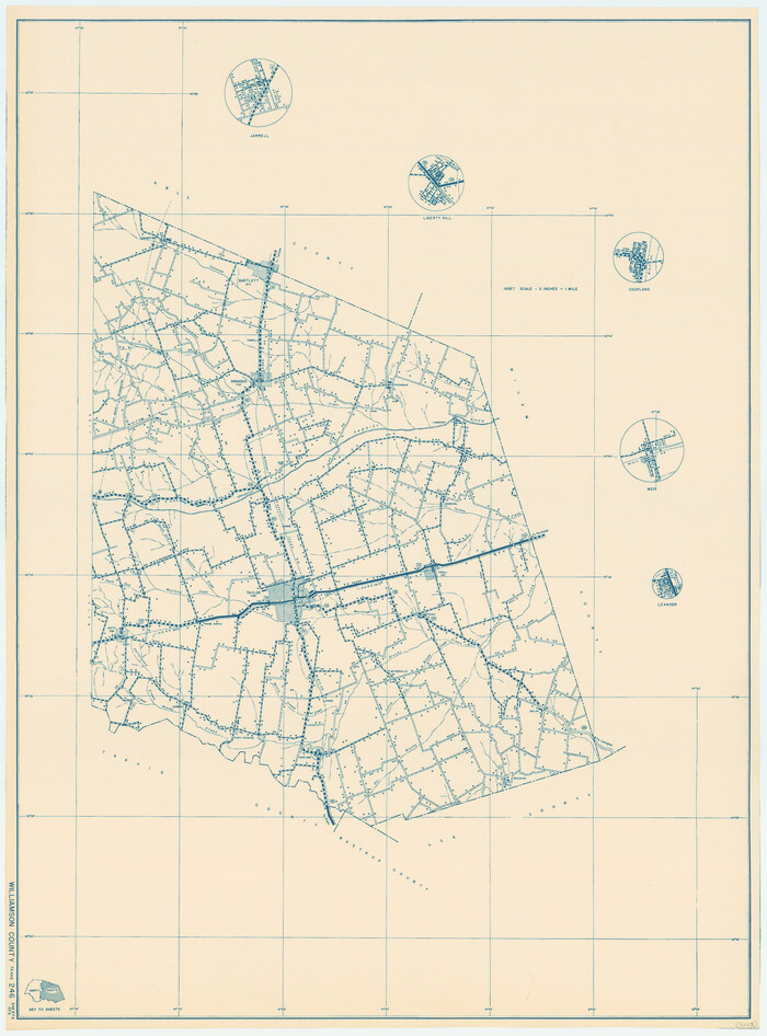

Print $20.00
General Highway Map, Williamson County, Texas
1940
Size 24.8 x 18.4 inches
Map/Doc 79280
General Highway Map, Washington County, Texas


Print $20.00
General Highway Map, Washington County, Texas
1940
Size 18.4 x 25.0 inches
Map/Doc 79272
General Highway Map, Jack County, Texas


Print $20.00
General Highway Map, Jack County, Texas
1940
Size 18.4 x 24.8 inches
Map/Doc 79139
General Highway Map, Gaines County, Texas
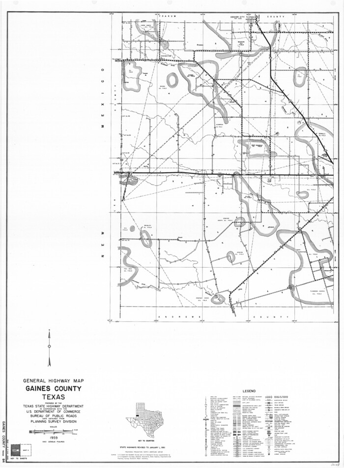

Print $20.00
General Highway Map, Gaines County, Texas
1961
Size 24.6 x 18.1 inches
Map/Doc 79474
Topographic Map of Big Bend Area
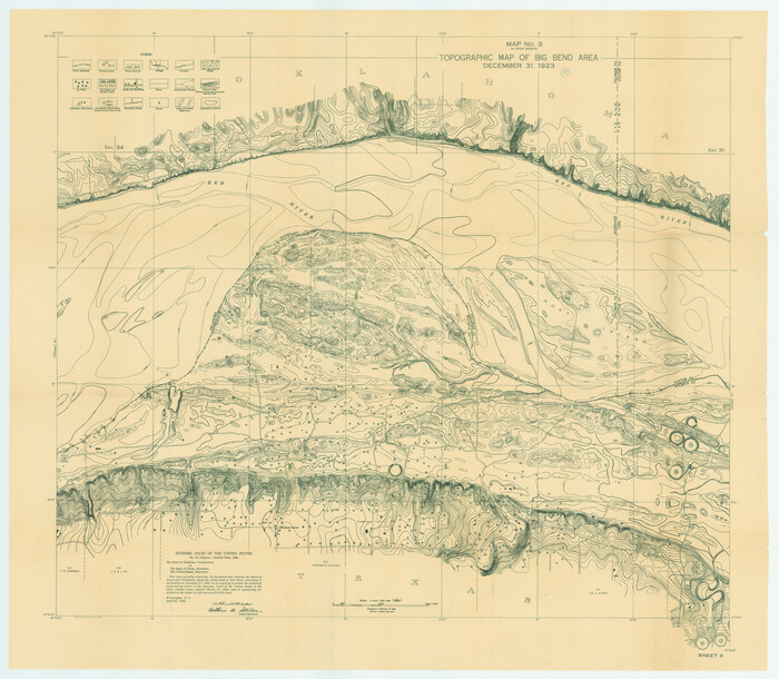

Print $20.00
Topographic Map of Big Bend Area
1923
Size 35.5 x 40.7 inches
Map/Doc 79758
Lampasas County Oil Field
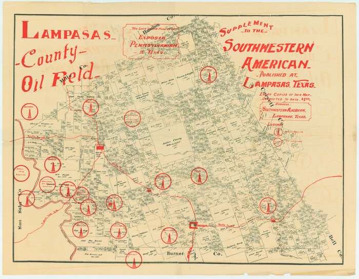

Print $20.00
Lampasas County Oil Field
1920
Size 22.4 x 28.8 inches
Map/Doc 79326
General Highway Map, Jeff Davis County, Texas
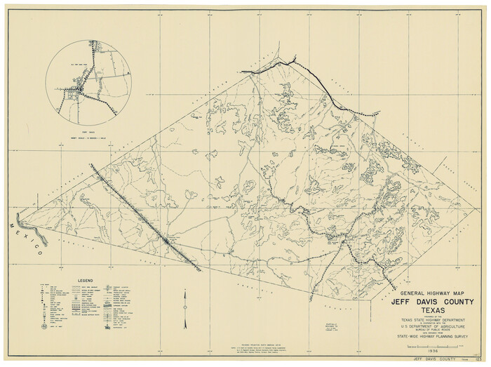

Print $20.00
General Highway Map, Jeff Davis County, Texas
1940
Size 18.6 x 24.8 inches
Map/Doc 79143
General Highway Map, Palo Pinto County, Texas


Print $20.00
General Highway Map, Palo Pinto County, Texas
1961
Size 18.3 x 24.4 inches
Map/Doc 79623
General Highway Map, Ochiltree County, Texas


Print $20.00
General Highway Map, Ochiltree County, Texas
1961
Size 18.2 x 24.3 inches
Map/Doc 79618
Map of the Texas and Pacific Railway and Connections


Print $20.00
Map of the Texas and Pacific Railway and Connections
1897
Size 19.3 x 24.4 inches
Map/Doc 79328
You may also like
Montgomery County Working Sketch 49
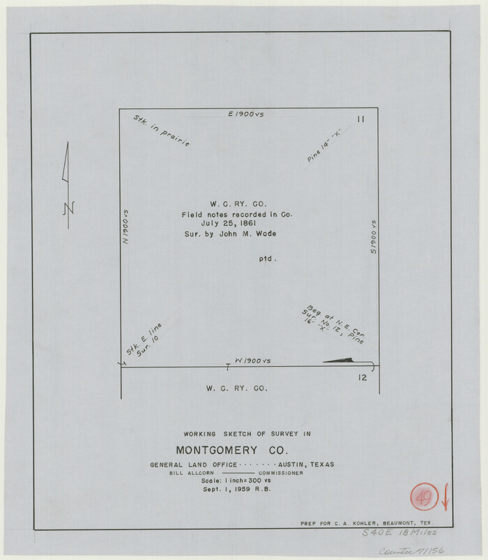

Print $20.00
- Digital $50.00
Montgomery County Working Sketch 49
1959
Size 13.8 x 12.0 inches
Map/Doc 71156
Hemphill County Working Sketch 37
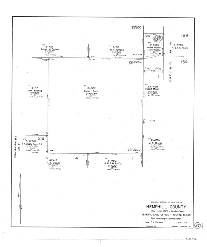

Print $20.00
- Digital $50.00
Hemphill County Working Sketch 37
1981
Size 28.6 x 24.0 inches
Map/Doc 66132
Tyler County Boundary File 1
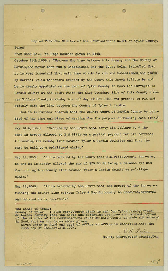

Print $2.00
- Digital $50.00
Tyler County Boundary File 1
Size 14.2 x 8.8 inches
Map/Doc 59494
Menard County Working Sketch 5


Print $20.00
- Digital $50.00
Menard County Working Sketch 5
1921
Size 17.2 x 22.3 inches
Map/Doc 70952
Map of Deaf Smith County, Texas


Print $2.00
- Digital $50.00
Map of Deaf Smith County, Texas
Size 11.6 x 8.9 inches
Map/Doc 90509
Flight Mission No. CGI-3N, Frame 138, Cameron County
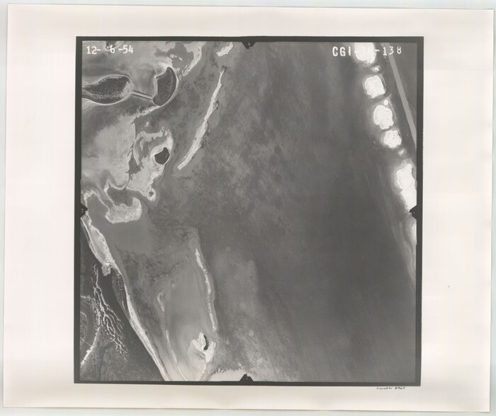

Print $20.00
- Digital $50.00
Flight Mission No. CGI-3N, Frame 138, Cameron County
1954
Size 18.7 x 22.2 inches
Map/Doc 84611
Leon County Rolled Sketch 24
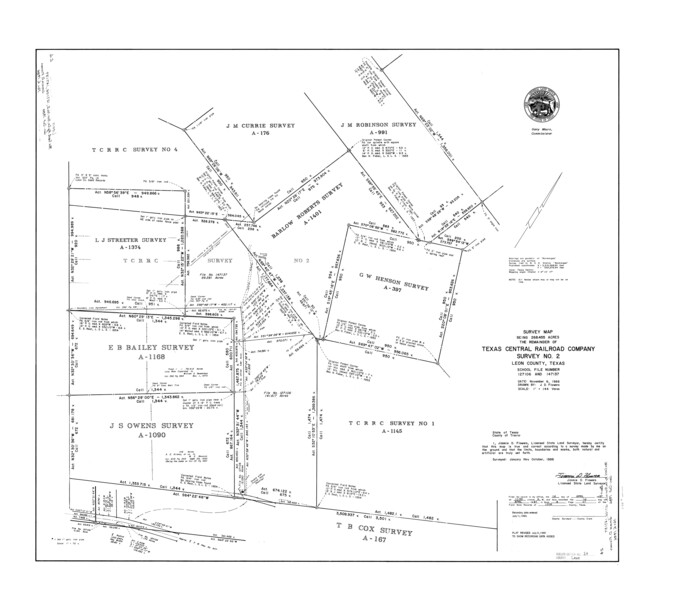

Print $20.00
- Digital $50.00
Leon County Rolled Sketch 24
1986
Size 34.7 x 39.6 inches
Map/Doc 6610
Ector County Working Sketch 26


Print $20.00
- Digital $50.00
Ector County Working Sketch 26
1961
Size 30.8 x 43.6 inches
Map/Doc 68869
Bowie County Sketch File 8f
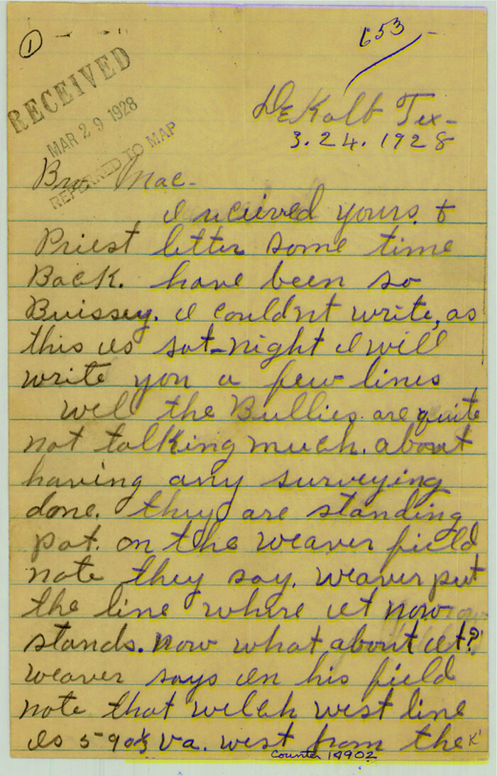

Print $10.00
- Digital $50.00
Bowie County Sketch File 8f
1928
Size 8.1 x 5.2 inches
Map/Doc 14902
University Lands Blocks 38 to 57, Crockett-Reagan-Irion-Schleicher-Counties


Print $40.00
- Digital $50.00
University Lands Blocks 38 to 57, Crockett-Reagan-Irion-Schleicher-Counties
Size 35.1 x 53.6 inches
Map/Doc 62945
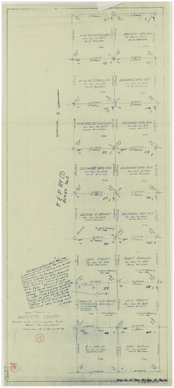
Hudspeth County Working Sketch 15

Print $20.00
- Digital $50.00
Hudspeth County Working Sketch 15
1954
Size 36.4 x 16.2 inches
Map/Doc 66297
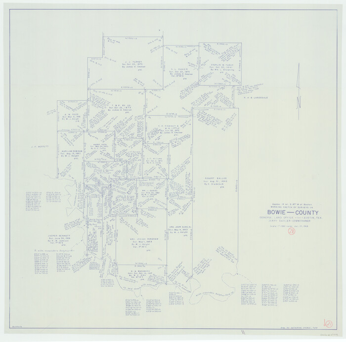
Bowie County Working Sketch 21

Print $20.00
- Digital $50.00
Bowie County Working Sketch 21
1968
Size 35.9 x 36.3 inches
Map/Doc 67425
![76270, [Plat of Victoria, Texas], Texas State Library and Archives](https://historictexasmaps.com/wmedia_w1800h1800/maps/76270.tif.jpg)
