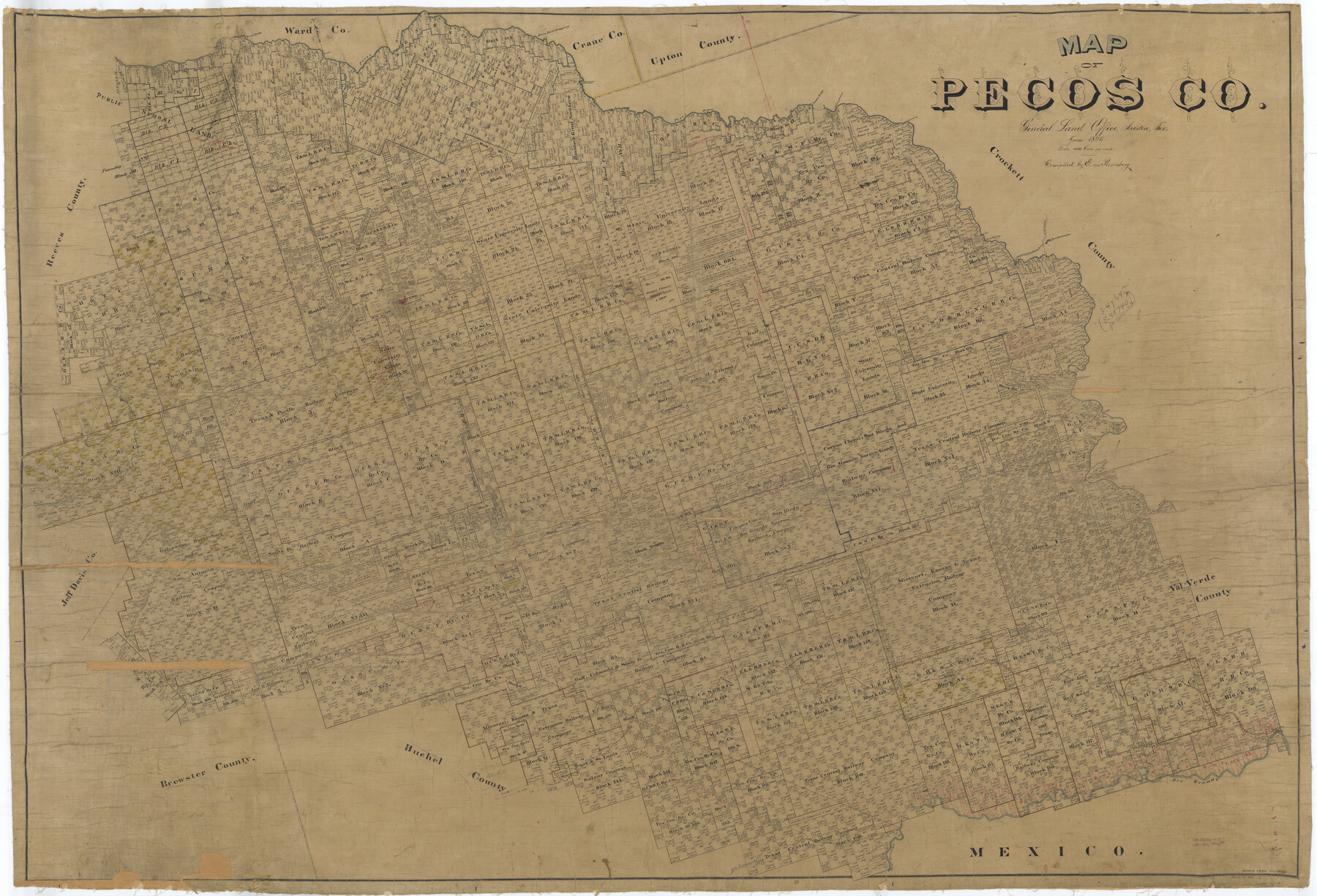
Map of Pecos Co.
-
Map/Doc
76038
-
Collection
General Map Collection
-
Object Dates
1896 (Creation Date)
-
People and Organizations
Texas General Land Office (Publisher)
E. von Rosenberg (Compiler)
-
Counties
Pecos
-
Subjects
County
-
Height x Width
47.7 x 70.1 inches
121.2 x 178.1 cm
-
Comments
Copied by F. G. Blau.
Part of: General Map Collection
Upton County Working Sketch 1

Print $20.00
- Digital $50.00
Upton County Working Sketch 1
Size 11.6 x 20.0 inches
Map/Doc 69497
Cherokee County Sketch File 5

Print $12.00
- Digital $50.00
Cherokee County Sketch File 5
1852
Size 12.4 x 8.6 inches
Map/Doc 18120
Revised Map of Austin, Texas

Print $20.00
- Digital $50.00
Revised Map of Austin, Texas
Size 16.9 x 13.3 inches
Map/Doc 95387
Starr County Sketch File D

Print $8.00
- Digital $50.00
Starr County Sketch File D
1892
Size 14.2 x 8.7 inches
Map/Doc 36915
Hood County Working Sketch 10

Print $6.00
- Digital $50.00
Hood County Working Sketch 10
1974
Size 26.7 x 35.6 inches
Map/Doc 66204
Flight Mission No. BQY-4M, Frame 59, Harris County

Print $20.00
- Digital $50.00
Flight Mission No. BQY-4M, Frame 59, Harris County
1953
Size 18.5 x 22.3 inches
Map/Doc 85268
Throckmorton County Sketch File 7b

Print $4.00
- Digital $50.00
Throckmorton County Sketch File 7b
Size 13.0 x 6.5 inches
Map/Doc 38097
Gillespie County Working Sketch Graphic Index

Print $20.00
- Digital $50.00
Gillespie County Working Sketch Graphic Index
1945
Size 38.0 x 47.4 inches
Map/Doc 76553
Tyler County Working Sketch 11

Print $20.00
- Digital $50.00
Tyler County Working Sketch 11
Size 23.0 x 17.3 inches
Map/Doc 69481
Hutchinson County Boundary File 4a

Print $40.00
- Digital $50.00
Hutchinson County Boundary File 4a
Size 8.7 x 51.7 inches
Map/Doc 55313
Duval County Working Sketch 4

Print $20.00
- Digital $50.00
Duval County Working Sketch 4
1928
Size 25.8 x 24.9 inches
Map/Doc 76445
Presidio County Sketch File 115

Print $14.00
- Digital $50.00
Presidio County Sketch File 115
1993
Size 11.3 x 8.9 inches
Map/Doc 34835
You may also like
Terrell County Working Sketch 8b

Print $20.00
- Digital $50.00
Terrell County Working Sketch 8b
Size 15.1 x 18.6 inches
Map/Doc 69695
Orange County Sketch File 27

Print $20.00
- Digital $50.00
Orange County Sketch File 27
1915
Size 18.6 x 21.8 inches
Map/Doc 12123

Jefferson County Working Sketch 17

Print $20.00
- Digital $50.00
Jefferson County Working Sketch 17
1954
Size 47.1 x 30.3 inches
Map/Doc 66560
Taylor County Rolled Sketch 30A

Print $20.00
- Digital $50.00
Taylor County Rolled Sketch 30A
Size 17.5 x 11.3 inches
Map/Doc 76410
America with those known parts in that unknowne worlde both people and manner of buildings

Print $20.00
- Digital $50.00
America with those known parts in that unknowne worlde both people and manner of buildings
1626
Size 17.2 x 22.3 inches
Map/Doc 93830
Blanco County Working Sketch 30

Print $20.00
- Digital $50.00
Blanco County Working Sketch 30
1971
Size 22.9 x 34.6 inches
Map/Doc 67390
Map of Titus County

Print $20.00
- Digital $50.00
Map of Titus County
1857
Size 23.8 x 34.3 inches
Map/Doc 4857
Carte d'une partie de l'Asie, depuis la Mer Méditerranée jusqu'au Golfe de Cambaye dans la Mer de l'Inde

Print $20.00
- Digital $50.00
Carte d'une partie de l'Asie, depuis la Mer Méditerranée jusqu'au Golfe de Cambaye dans la Mer de l'Inde
1782
Size 12.9 x 18.0 inches
Map/Doc 97120
Duval County Sketch File 20 1/2

Print $4.00
- Digital $50.00
Duval County Sketch File 20 1/2
1880
Size 10.3 x 8.4 inches
Map/Doc 21324
Hutchinson County Rolled Sketch 16

Print $20.00
- Digital $50.00
Hutchinson County Rolled Sketch 16
1912
Size 27.5 x 30.2 inches
Map/Doc 6284
Aransas County Rolled Sketch 31

Print $20.00
- Digital $50.00
Aransas County Rolled Sketch 31
1986
Size 30.0 x 41.4 inches
Map/Doc 77498