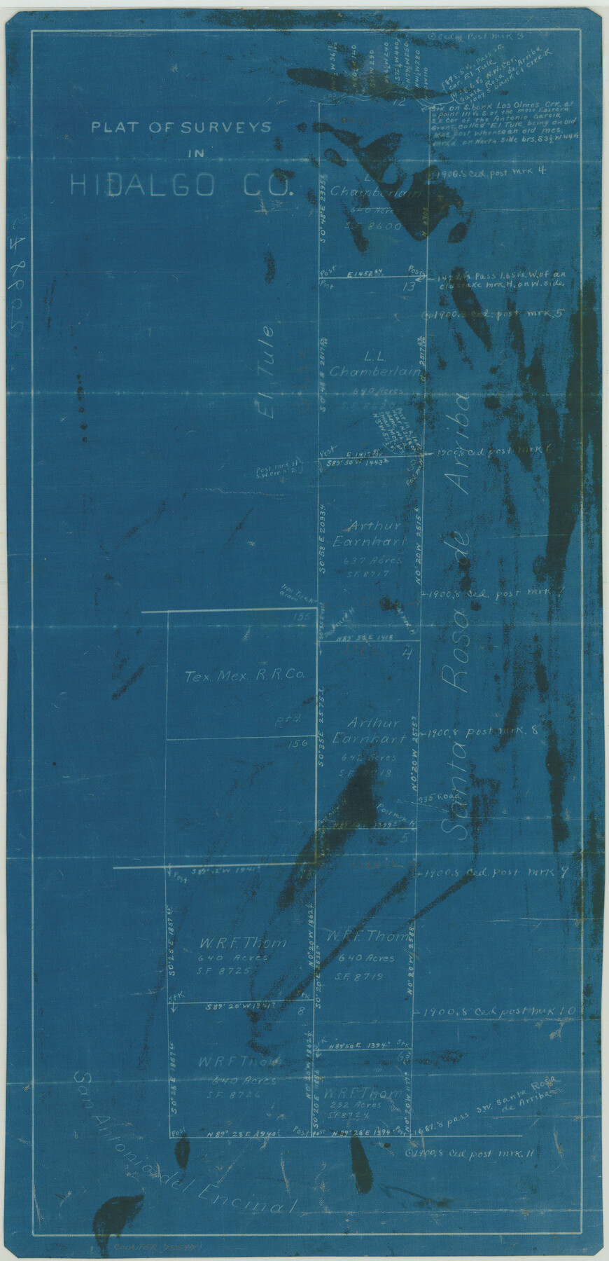
Plat of Surveys in Hidalgo Co.
-
Map/Doc
75547
-
Collection
Maddox Collection
-
Counties
Hidalgo Brooks Kenedy
-
Height x Width
17.3 x 8.4 inches
43.9 x 21.3 cm
-
Medium
blueprint/diazo
-
Comments
Map labeled as Hidalgo County, but is present day Brooks and Kenedy Counties.
-
Features
Los Olmos Creek
Part of: Maddox Collection
Sketch in Uvalde County

Print $20.00
- Digital $50.00
Sketch in Uvalde County
1890
Size 13.3 x 15.9 inches
Map/Doc 650
Survey of Lots 1, 2, 3, 4 and 5, Block 12G Fair View Park, Austin Texas

Print $20.00
- Digital $50.00
Survey of Lots 1, 2, 3, 4 and 5, Block 12G Fair View Park, Austin Texas
1914
Size 23.1 x 11.0 inches
Map/Doc 83431
Plat Town of Swearingen, Cottle Co., Texas

Print $20.00
- Digital $50.00
Plat Town of Swearingen, Cottle Co., Texas
1918
Size 40.6 x 30.6 inches
Map/Doc 4466
Borden County, Texas

Print $20.00
- Digital $50.00
Borden County, Texas
1892
Size 25.7 x 20.9 inches
Map/Doc 394
Map of Menard County

Print $20.00
- Digital $50.00
Map of Menard County
1898
Size 19.9 x 43.1 inches
Map/Doc 5042
Graham's Addition Being a Subdivision of a Portion of Lot No. 1 of Spear League

Print $20.00
- Digital $50.00
Graham's Addition Being a Subdivision of a Portion of Lot No. 1 of Spear League
1914
Size 33.2 x 13.6 inches
Map/Doc 83426
Nolan County, Texas

Print $20.00
- Digital $50.00
Nolan County, Texas
1870
Size 23.9 x 19.5 inches
Map/Doc 744
[Tex Mex & CCSDRG&G Railroad Blocks in Starr and Hidalgo Counties, Texas]
![4452, [Tex Mex & CCSDRG&G Railroad Blocks in Starr and Hidalgo Counties, Texas], Maddox Collection](https://historictexasmaps.com/wmedia_w700/maps/4452-1.tif.jpg)
Print $20.00
- Digital $50.00
[Tex Mex & CCSDRG&G Railroad Blocks in Starr and Hidalgo Counties, Texas]
1906
Size 28.7 x 24.2 inches
Map/Doc 4452
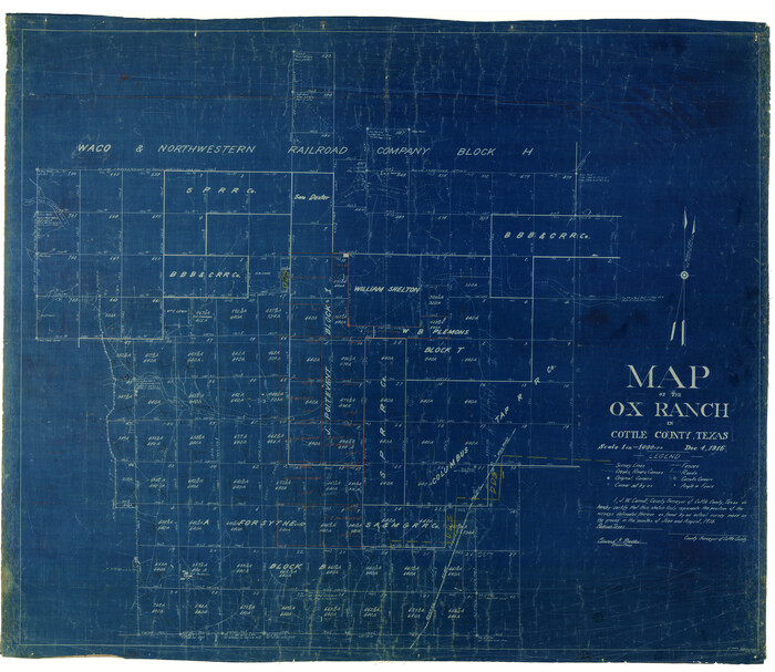
Map of the O-X Ranch in Cottle County, Texas
Print $20.00
- Digital $50.00
Map of the O-X Ranch in Cottle County, Texas
1916
Size 30.4 x 35.0 inches
Map/Doc 4438
State Land For Sale On Mustang Island by General Land Office

Print $20.00
- Digital $50.00
State Land For Sale On Mustang Island by General Land Office
1910
Size 21.7 x 17.5 inches
Map/Doc 385
Map of the north west portion of Hutchinson County showing the proposed resurvey of Block M24

Print $20.00
- Digital $50.00
Map of the north west portion of Hutchinson County showing the proposed resurvey of Block M24
Size 29.1 x 31.9 inches
Map/Doc 75814
Map of Callahan County, Texas

Print $20.00
- Digital $50.00
Map of Callahan County, Texas
1879
Size 24.6 x 19.6 inches
Map/Doc 4337
You may also like
Crosby County Sketch File 22

Print $22.00
- Digital $50.00
Crosby County Sketch File 22
1912
Size 11.3 x 8.6 inches
Map/Doc 20090
Gillespie County Working Sketch 5

Print $20.00
- Digital $50.00
Gillespie County Working Sketch 5
1972
Size 25.7 x 25.9 inches
Map/Doc 63168
Presidio County Working Sketch 118

Print $20.00
- Digital $50.00
Presidio County Working Sketch 118
1983
Size 47.4 x 41.6 inches
Map/Doc 71795
Flight Mission No. CLL-3N, Frame 37, Willacy County

Print $20.00
- Digital $50.00
Flight Mission No. CLL-3N, Frame 37, Willacy County
1954
Size 18.6 x 22.2 inches
Map/Doc 87095
Knox County Sketch File 14

Print $12.00
- Digital $50.00
Knox County Sketch File 14
1892
Size 11.1 x 8.5 inches
Map/Doc 29235
Houston County Working Sketch 31

Print $20.00
- Digital $50.00
Houston County Working Sketch 31
1987
Size 23.9 x 37.3 inches
Map/Doc 66261
[Victor Blanco's survey along the San Antonio River]
![187, [Victor Blanco's survey along the San Antonio River], General Map Collection](https://historictexasmaps.com/wmedia_w700/maps/187.tif.jpg)
Print $2.00
- Digital $50.00
[Victor Blanco's survey along the San Antonio River]
Size 11.2 x 8.2 inches
Map/Doc 187

Flight Mission No. DIX-6P, Frame 129, Aransas County

Print $20.00
- Digital $50.00
Flight Mission No. DIX-6P, Frame 129, Aransas County
1956
Size 18.9 x 22.4 inches
Map/Doc 83835
Gregg County School Land League 2

Print $20.00
- Digital $50.00
Gregg County School Land League 2
Size 15.6 x 15.5 inches
Map/Doc 90613
[Sketch for Mineral Application 13436 - Cut-off Bayou]
![65675, [Sketch for Mineral Application 13436 - Cut-off Bayou], General Map Collection](https://historictexasmaps.com/wmedia_w700/maps/65675-1.tif.jpg)
Print $20.00
- Digital $50.00
[Sketch for Mineral Application 13436 - Cut-off Bayou]
1928
Size 21.3 x 44.3 inches
Map/Doc 65675
Howard County Boundary File 3a

Print $62.00
- Digital $50.00
Howard County Boundary File 3a
Size 3.9 x 8.7 inches
Map/Doc 55155