Supreme Court of the United States, October Term, 1924, No. 13, Original - The State of Oklahoma, Complainant vs. The State of Texas, Defendant, The United States, Intervener
-
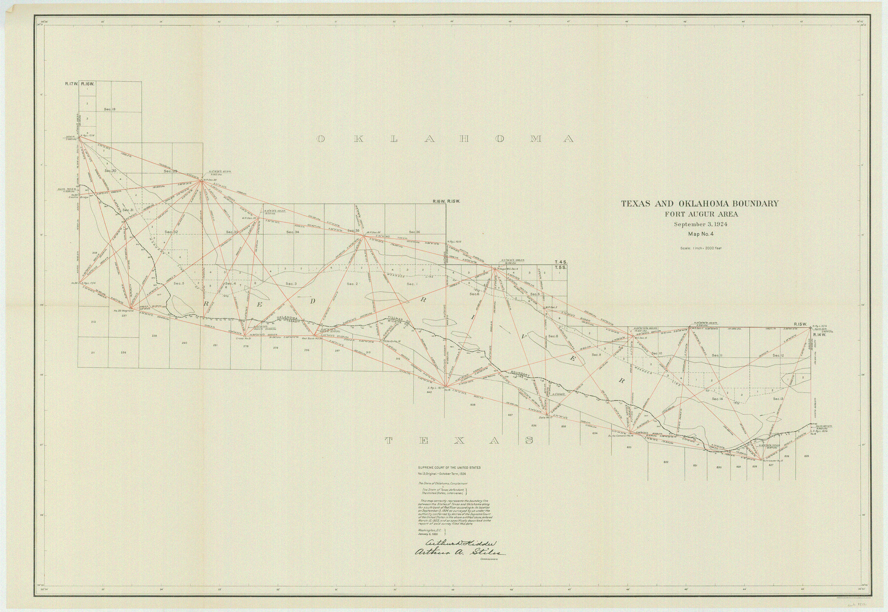
Map/Doc
75131
-
Collection
General Map Collection
-
Object Dates
1924/9/23 (Creation Date)
-
Subjects
Texas Boundaries Topographic
-
Height x Width
26.5 x 38.5 inches
67.3 x 97.8 cm
Part of: General Map Collection
Flight Mission No. DQO-8K, Frame 141, Galveston County

Print $20.00
- Digital $50.00
Flight Mission No. DQO-8K, Frame 141, Galveston County
1952
Size 18.6 x 22.4 inches
Map/Doc 85203
Gregg County Working Sketch 20

Print $20.00
- Digital $50.00
Gregg County Working Sketch 20
1962
Size 34.3 x 44.4 inches
Map/Doc 63287
Victoria County Working Sketch 1

Print $20.00
- Digital $50.00
Victoria County Working Sketch 1
1938
Size 33.5 x 36.9 inches
Map/Doc 72271
Duval County Sketch File 49

Print $6.00
- Digital $50.00
Duval County Sketch File 49
Size 14.5 x 9.1 inches
Map/Doc 21409

Hemphill County Sketch File 4

Print $14.00
- Digital $50.00
Hemphill County Sketch File 4
1903
Size 14.1 x 8.7 inches
Map/Doc 26288
Bosque County Working Sketch 16

Print $20.00
- Digital $50.00
Bosque County Working Sketch 16
1974
Size 40.5 x 33.2 inches
Map/Doc 67449
Flight Mission No. BRA-7M, Frame 142, Jefferson County

Print $20.00
- Digital $50.00
Flight Mission No. BRA-7M, Frame 142, Jefferson County
1953
Size 18.6 x 22.5 inches
Map/Doc 85536
Somervell County Sketch File 2

Print $20.00
- Digital $50.00
Somervell County Sketch File 2
1847
Size 21.8 x 16.7 inches
Map/Doc 12325
Flight Mission No. DQO-1K, Frame 39, Galveston County

Print $20.00
- Digital $50.00
Flight Mission No. DQO-1K, Frame 39, Galveston County
1952
Size 18.8 x 22.6 inches
Map/Doc 84982
Uvalde County Sketch File 21

Print $8.00
- Digital $50.00
Uvalde County Sketch File 21
1882
Size 14.2 x 8.8 inches
Map/Doc 39004
Duval County Sketch File 35a

Print $26.00
- Digital $50.00
Duval County Sketch File 35a
Size 11.3 x 8.9 inches
Map/Doc 21371
You may also like
Uvalde County Rolled Sketch 5

Print $20.00
- Digital $50.00
Uvalde County Rolled Sketch 5
Size 38.0 x 42.6 inches
Map/Doc 10063
Cameron County Sketch File 2

Print $98.00
- Digital $50.00
Cameron County Sketch File 2
1904
Size 14.3 x 8.7 inches
Map/Doc 16975
Outer Continental Shelf Leasing Maps (Louisiana Offshore Operations)

Print $20.00
- Digital $50.00
Outer Continental Shelf Leasing Maps (Louisiana Offshore Operations)
1955
Size 19.9 x 13.4 inches
Map/Doc 75860
Bastrop County

Print $20.00
- Digital $50.00
Bastrop County
1879
Size 21.5 x 19.5 inches
Map/Doc 3277
Culberson County Working Sketch 15

Print $20.00
- Digital $50.00
Culberson County Working Sketch 15
1923
Size 19.9 x 21.5 inches
Map/Doc 68467
Corpus Christi Pass, Texas

Print $20.00
- Digital $50.00
Corpus Christi Pass, Texas
1871
Size 26.2 x 18.3 inches
Map/Doc 72979
Texas State Boundary Line 3

Print $90.00
- Digital $50.00
Texas State Boundary Line 3
Size 10.9 x 8.2 inches
Map/Doc 74904
Hill County Boundary File 45b

Print $60.00
- Digital $50.00
Hill County Boundary File 45b
Size 7.8 x 3.7 inches
Map/Doc 54772
Hutchinson County

Print $20.00
- Digital $50.00
Hutchinson County
1922
Size 45.6 x 38.8 inches
Map/Doc 1863
Galveston Bay Entrance - Galveston and Texas City Harbors

Print $40.00
- Digital $50.00
Galveston Bay Entrance - Galveston and Texas City Harbors
1992
Size 37.1 x 55.6 inches
Map/Doc 69866
Terrell County Rolled Sketch 46

Print $20.00
- Digital $50.00
Terrell County Rolled Sketch 46
1958
Size 16.1 x 14.6 inches
Map/Doc 7948
Burnet County Boundary File 12a

Print $8.00
- Digital $50.00
Burnet County Boundary File 12a
Size 12.9 x 8.7 inches
Map/Doc 50956