Kleberg County, Cayo del Grullo
K-2-9191
-
Map/Doc
73506
-
Collection
General Map Collection
-
Object Dates
1952 (Creation Date)
-
Counties
Kleberg
-
Subjects
Topographic
-
Height x Width
32.6 x 29.0 inches
82.8 x 73.7 cm
Part of: General Map Collection
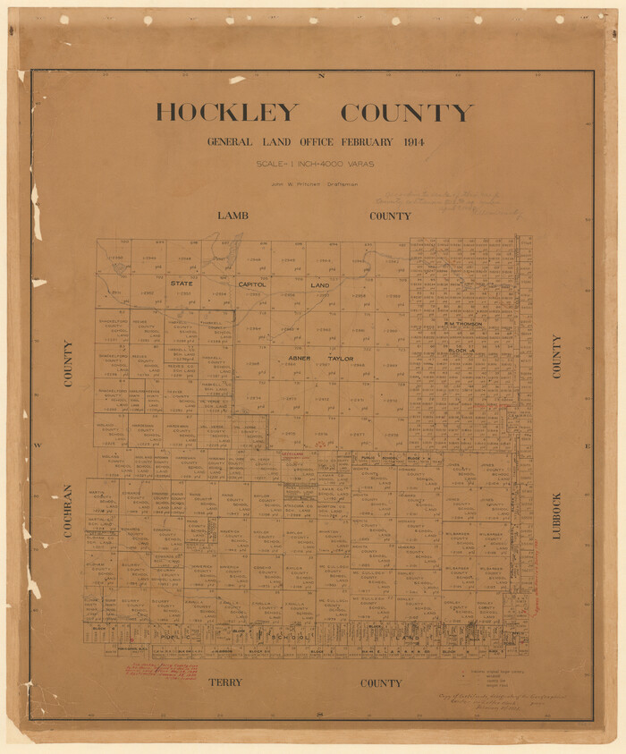
Hockley County

Print $20.00
- Digital $50.00
Hockley County
1914
Size 27.4 x 22.8 inches
Map/Doc 4686
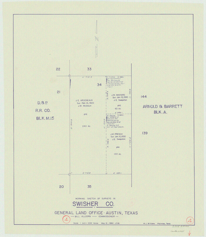
Swisher County Working Sketch 4

Print $20.00
- Digital $50.00
Swisher County Working Sketch 4
1960
Size 23.0 x 19.9 inches
Map/Doc 62415
Tyler County Sketch File 7


Print $4.00
- Digital $50.00
Tyler County Sketch File 7
1874
Size 13.4 x 7.7 inches
Map/Doc 38637
[T. & G. Ry. Main Line, Texas, Right of Way Map, Center to Gary]
![64569, [T. & G. Ry. Main Line, Texas, Right of Way Map, Center to Gary], General Map Collection](https://historictexasmaps.com/wmedia_w700/maps/64569.tif.jpg)
![64569, [T. & G. Ry. Main Line, Texas, Right of Way Map, Center to Gary], General Map Collection](https://historictexasmaps.com/wmedia_w700/maps/64569.tif.jpg)
Print $40.00
- Digital $50.00
[T. & G. Ry. Main Line, Texas, Right of Way Map, Center to Gary]
1917
Size 31.5 x 76.7 inches
Map/Doc 64569
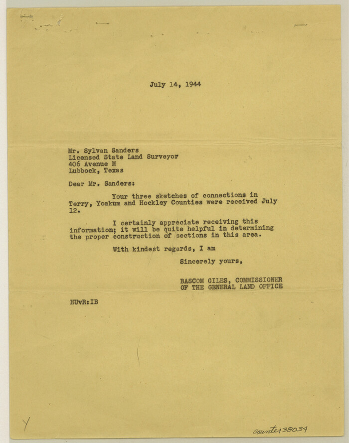
Terry County Sketch File 15

Print $10.00
- Digital $50.00
Terry County Sketch File 15
1944
Size 11.3 x 8.9 inches
Map/Doc 38034
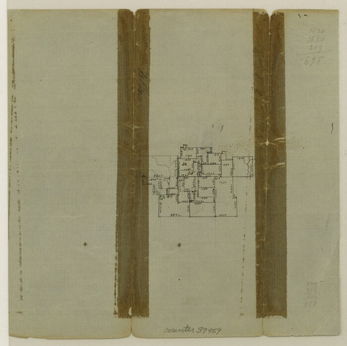
Van Zandt County Sketch File 29c

Print $4.00
- Digital $50.00
Van Zandt County Sketch File 29c
1861
Size 8.2 x 8.3 inches
Map/Doc 39459
Flight Mission No. CRK-8P, Frame 117, Refugio County
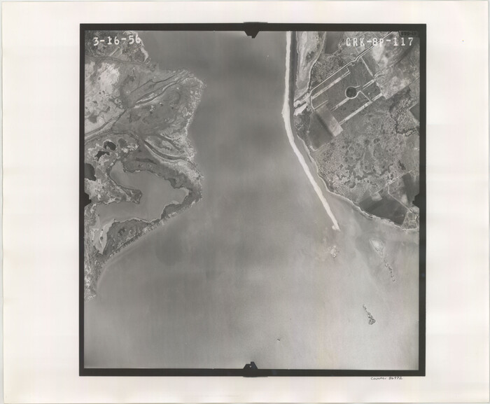

Print $20.00
- Digital $50.00
Flight Mission No. CRK-8P, Frame 117, Refugio County
1956
Size 18.1 x 22.0 inches
Map/Doc 86972
Uvalde County Sketch File 12A


Print $20.00
- Digital $50.00
Uvalde County Sketch File 12A
1887
Size 19.2 x 30.0 inches
Map/Doc 12527
Wise County Sketch File 7


Print $4.00
- Digital $50.00
Wise County Sketch File 7
1857
Size 8.1 x 14.0 inches
Map/Doc 40535
Jones County Working Sketch 5
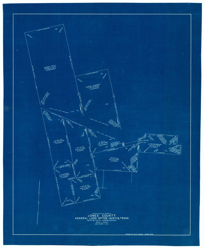

Print $20.00
- Digital $50.00
Jones County Working Sketch 5
1950
Size 35.5 x 29.3 inches
Map/Doc 66643
Kendall County Sketch File 16


Print $4.00
- Digital $50.00
Kendall County Sketch File 16
1877
Size 8.7 x 5.9 inches
Map/Doc 28705
Uvalde County Working Sketch 7
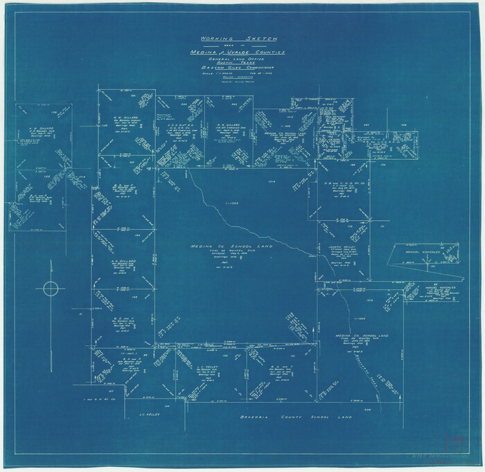

Print $20.00
- Digital $50.00
Uvalde County Working Sketch 7
1942
Size 29.2 x 30.0 inches
Map/Doc 72077
You may also like
[Sketch of Sections 61-64, l. & G. N. Block 1]
![91620, [Sketch of Sections 61-64, l. & G. N. Block 1], Twichell Survey Records](https://historictexasmaps.com/wmedia_w700/maps/91620-1.tif.jpg)
![91620, [Sketch of Sections 61-64, l. & G. N. Block 1], Twichell Survey Records](https://historictexasmaps.com/wmedia_w700/maps/91620-1.tif.jpg)
Print $20.00
- Digital $50.00
[Sketch of Sections 61-64, l. & G. N. Block 1]
Size 39.5 x 22.7 inches
Map/Doc 91620
Clay County Sketch File 47


Print $6.00
- Digital $50.00
Clay County Sketch File 47
Size 11.3 x 17.4 inches
Map/Doc 18485
Terrell County Rolled Sketch 51A


Print $20.00
- Digital $50.00
Terrell County Rolled Sketch 51A
1957
Size 29.1 x 20.6 inches
Map/Doc 7968
Gonzales County


Print $20.00
- Digital $50.00
Gonzales County
1880
Size 26.5 x 23.4 inches
Map/Doc 4549
Ector County Boundary File 2
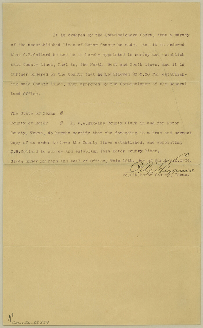

Print $4.00
- Digital $50.00
Ector County Boundary File 2
Size 13.2 x 8.2 inches
Map/Doc 52834
Flight Mission No. CGI-1N, Frame 218, Cameron County


Print $20.00
- Digital $50.00
Flight Mission No. CGI-1N, Frame 218, Cameron County
1955
Size 18.6 x 22.1 inches
Map/Doc 84527
Starr County Rolled Sketch 31


Print $20.00
- Digital $50.00
Starr County Rolled Sketch 31
1941
Size 22.5 x 32.6 inches
Map/Doc 7828
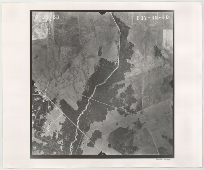
Flight Mission No. BQY-4M, Frame 40, Harris County

Print $20.00
- Digital $50.00
Flight Mission No. BQY-4M, Frame 40, Harris County
1953
Size 18.6 x 22.3 inches
Map/Doc 85255
Cass County Rolled Sketch OPD


Print $20.00
- Digital $50.00
Cass County Rolled Sketch OPD
1936
Size 29.6 x 24.9 inches
Map/Doc 5415
Menard County Sketch File 16

Print $6.00
- Digital $50.00
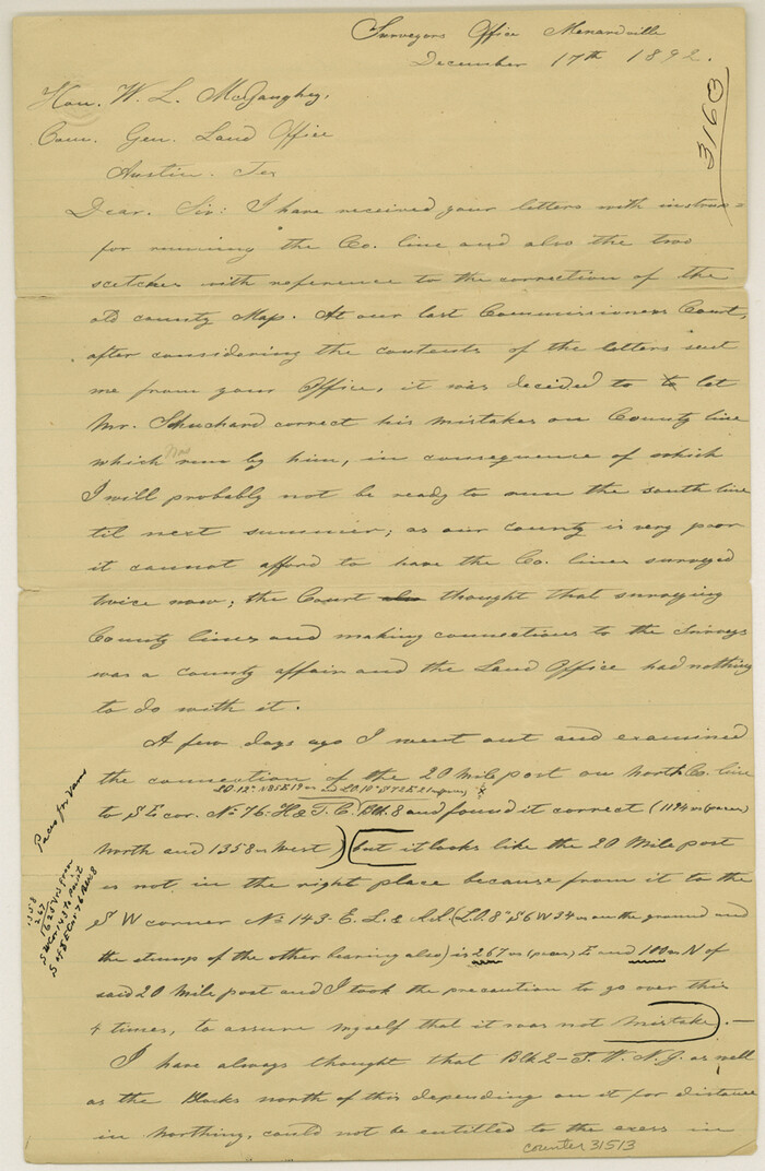
Menard County Sketch File 16
1892
Size 12.8 x 8.4 inches
Map/Doc 31513
Val Verde County Working Sketch 100

Print $20.00
- Digital $50.00
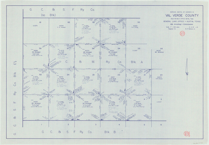
Val Verde County Working Sketch 100
1981
Size 22.3 x 32.0 inches
Map/Doc 72235
Hays County Working Sketch 9

Print $40.00
- Digital $50.00
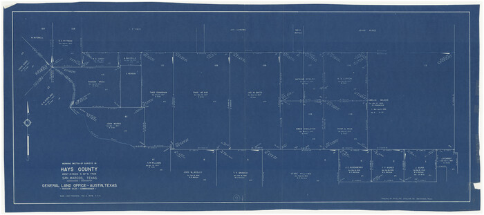
Hays County Working Sketch 9
1949
Size 22.8 x 50.5 inches
Map/Doc 66083
