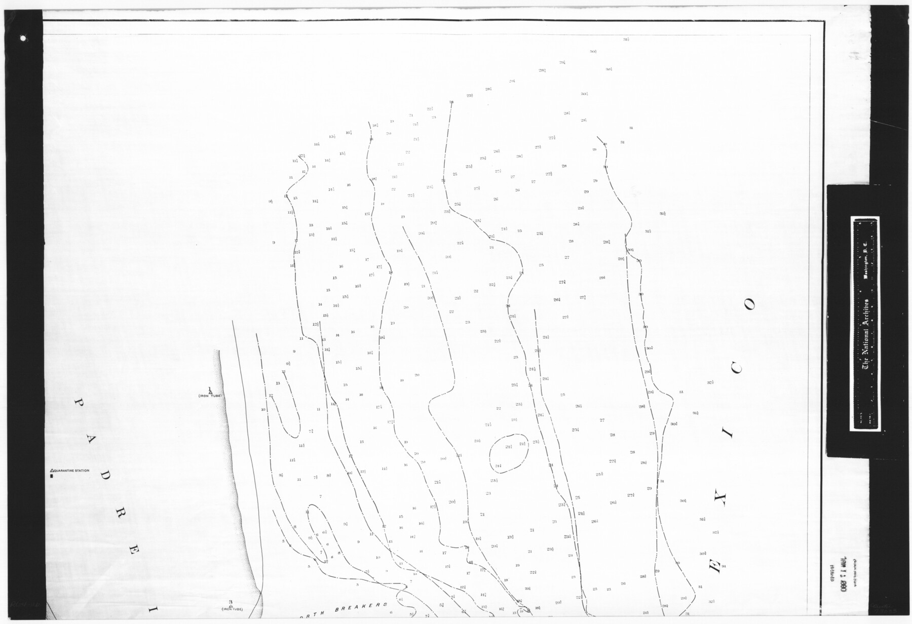
Brazos Santiago, Texas
RL-4-11b
-
Map/Doc
73033
-
Collection
General Map Collection
-
Object Dates
1900 (Creation Date)
-
People and Organizations
U. S. Army Corps of Engineers (Publisher)
J. Boyle (Surveyor/Engineer)
R.B. Talfor (Surveyor/Engineer)
J.Y. Johnson (Surveyor/Engineer)
-
Subjects
Nautical Charts
-
Height x Width
18.3 x 26.8 inches
46.5 x 68.1 cm
-
Comments
B/W photostat copy from National Archives in multiple pieces.
Part of: General Map Collection
Fayette County Boundary File 8

Print $19.00
- Digital $50.00
Fayette County Boundary File 8
Size 14.4 x 9.0 inches
Map/Doc 53402
Cooke County Rolled Sketch 4

Print $20.00
- Digital $50.00
Cooke County Rolled Sketch 4
Size 18.1 x 23.1 inches
Map/Doc 5562
Garza County Working Sketch 1

Print $20.00
- Digital $50.00
Garza County Working Sketch 1
1902
Size 39.3 x 25.6 inches
Map/Doc 63148
Henderson County

Print $40.00
- Digital $50.00
Henderson County
1922
Size 32.9 x 62.6 inches
Map/Doc 66862
Reagan County Rolled Sketch 2

Print $40.00
- Digital $50.00
Reagan County Rolled Sketch 2
1903
Size 52.4 x 37.3 inches
Map/Doc 10621
Shores of Laguna Madre, Texas from Triangulation Station Griffins to Triangulation Station Camp No. 2

Print $40.00
- Digital $50.00
Shores of Laguna Madre, Texas from Triangulation Station Griffins to Triangulation Station Camp No. 2
1882
Size 33.2 x 54.3 inches
Map/Doc 73483
Flight Mission No. CGI-4N, Frame 159, Cameron County

Print $20.00
- Digital $50.00
Flight Mission No. CGI-4N, Frame 159, Cameron County
1955
Size 18.7 x 22.2 inches
Map/Doc 84667
Kleberg County Rolled Sketch 10-6

Print $20.00
- Digital $50.00
Kleberg County Rolled Sketch 10-6
1951
Size 38.0 x 39.1 inches
Map/Doc 9399
Flight Mission No. CRK-3P, Frame 127, Refugio County

Print $20.00
- Digital $50.00
Flight Mission No. CRK-3P, Frame 127, Refugio County
1956
Size 18.6 x 22.3 inches
Map/Doc 86915
San Patricio County NRC Article 33.136 Sketch 5

Print $20.00
- Digital $50.00
San Patricio County NRC Article 33.136 Sketch 5
2006
Size 36.0 x 24.0 inches
Map/Doc 94697
Cottle County Rolled Sketch OX

Print $20.00
- Digital $50.00
Cottle County Rolled Sketch OX
1916
Size 29.6 x 35.8 inches
Map/Doc 8673
Maps of Gulf Intracoastal Waterway, Texas - Sabine River to the Rio Grande and connecting waterways including ship channels

Print $20.00
- Digital $50.00
Maps of Gulf Intracoastal Waterway, Texas - Sabine River to the Rio Grande and connecting waterways including ship channels
1966
Size 14.6 x 22.2 inches
Map/Doc 61961
You may also like
Crane County Rolled Sketch 15

Print $40.00
- Digital $50.00
Crane County Rolled Sketch 15
1946
Size 27.2 x 49.5 inches
Map/Doc 8682
Kendall County Sketch File 15

Print $4.00
- Digital $50.00
Kendall County Sketch File 15
1860
Size 12.4 x 7.8 inches
Map/Doc 28703
Section 40, Block Y

Print $20.00
- Digital $50.00
Section 40, Block Y
Size 23.9 x 19.5 inches
Map/Doc 92460
Hardin County Working Sketch 6

Print $20.00
- Digital $50.00
Hardin County Working Sketch 6
1922
Size 16.2 x 28.4 inches
Map/Doc 63404
Flight Mission No. DIX-6P, Frame 183, Aransas County

Print $20.00
- Digital $50.00
Flight Mission No. DIX-6P, Frame 183, Aransas County
1956
Size 19.1 x 22.7 inches
Map/Doc 83845
The Brownsville District of the Famous Lower Rio Grande Valley - The Texas Tropics

The Brownsville District of the Famous Lower Rio Grande Valley - The Texas Tropics
1920
Map/Doc 96732
Duval County Rolled Sketch 16

Print $20.00
- Digital $50.00
Duval County Rolled Sketch 16
1940
Size 45.3 x 34.8 inches
Map/Doc 8810
Bosque County Sketch File 15

Print $14.00
- Digital $50.00
Bosque County Sketch File 15
1863
Size 12.3 x 7.7 inches
Map/Doc 14774
[Sketch for Mineral Application 19560 - 19588 - San Bernard River]
![65662, [Sketch for Mineral Application 19560 - 19588 - San Bernard River], General Map Collection](https://historictexasmaps.com/wmedia_w700/maps/65662.tif.jpg)
Print $40.00
- Digital $50.00
[Sketch for Mineral Application 19560 - 19588 - San Bernard River]
Size 31.6 x 73.6 inches
Map/Doc 65662
Liberty County Sketch File 16

Print $4.00
- Digital $50.00
Liberty County Sketch File 16
1859
Size 11.4 x 6.7 inches
Map/Doc 29917
Middle Sulphur and South Sulphur Rivers, Horton Sheet

Print $20.00
- Digital $50.00
Middle Sulphur and South Sulphur Rivers, Horton Sheet
1925
Size 42.2 x 40.3 inches
Map/Doc 65171
Ward County Working Sketch 22

Print $20.00
- Digital $50.00
Ward County Working Sketch 22
1953
Size 19.5 x 20.7 inches
Map/Doc 72328