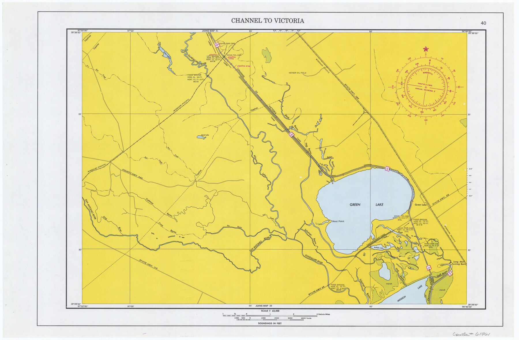
Maps of Gulf Intracoastal Waterway, Texas - Sabine River to the Rio Grande and connecting waterways including ship channels
-
Map/Doc
61961
-
Collection
General Map Collection
-
Object Dates
1966 (Creation Date)
-
Subjects
Intracoastal Waterways
-
Height x Width
14.6 x 22.2 inches
37.1 x 56.4 cm
Part of: General Map Collection
Falls County Sketch File 4

Print $4.00
- Digital $50.00
Falls County Sketch File 4
1856
Size 10.3 x 8.3 inches
Map/Doc 22335
Goliad County Sketch File Y

Print $20.00
- Digital $50.00
Goliad County Sketch File Y
1894
Size 14.1 x 12.1 inches
Map/Doc 11574
Hockley County Rolled Sketch 7

Print $40.00
- Digital $50.00
Hockley County Rolled Sketch 7
Size 41.4 x 56.6 inches
Map/Doc 9176
Map of a part of the North Portion of Harris County

Print $40.00
- Digital $50.00
Map of a part of the North Portion of Harris County
Size 34.5 x 57.0 inches
Map/Doc 2049
Galveston County Rolled Sketch 31

Print $20.00
- Digital $50.00
Galveston County Rolled Sketch 31
1979
Size 28.4 x 39.8 inches
Map/Doc 5965
Outer Continental Shelf Leasing Maps (Louisiana Offshore Operations)

Print $20.00
- Digital $50.00
Outer Continental Shelf Leasing Maps (Louisiana Offshore Operations)
1959
Size 17.9 x 13.8 inches
Map/Doc 76101
Liberty County Rolled Sketch WC

Print $107.00
- Digital $50.00
Liberty County Rolled Sketch WC
1934
Size 10.4 x 15.3 inches
Map/Doc 46561
Johnson County Sketch File 23

Print $22.00
- Digital $50.00
Johnson County Sketch File 23
1857
Size 8.1 x 12.6 inches
Map/Doc 28456
Real County Sketch File 9

Print $8.00
- Digital $50.00
Real County Sketch File 9
1931
Size 11.2 x 8.8 inches
Map/Doc 35059
Hall County Sketch File 18

Print $20.00
- Digital $50.00
Hall County Sketch File 18
Size 16.8 x 35.1 inches
Map/Doc 11609
Aransas County Boundary File 6

Print $156.00
- Digital $50.00
Aransas County Boundary File 6
Size 14.1 x 8.5 inches
Map/Doc 49806
Lubbock County Working Sketch 8

Print $20.00
- Digital $50.00
Lubbock County Working Sketch 8
1989
Size 27.4 x 25.2 inches
Map/Doc 70668
You may also like
Yoakum County Sketch File 12

Print $22.00
- Digital $50.00
Yoakum County Sketch File 12
1933
Size 13.8 x 17.8 inches
Map/Doc 40765

Van Zandt County Sketch File 32

Print $4.00
- Digital $50.00
Van Zandt County Sketch File 32
1860
Size 12.2 x 7.9 inches
Map/Doc 39465
[Sketch for Mineral Application 27670 - Strip between Simon Sanchez leagues and Trinity River]
![2865, [Sketch for Mineral Application 27670 - Strip between Simon Sanchez leagues and Trinity River], General Map Collection](https://historictexasmaps.com/wmedia_w700/maps/2865-1.tif.jpg)
Print $40.00
- Digital $50.00
[Sketch for Mineral Application 27670 - Strip between Simon Sanchez leagues and Trinity River]
1934
Size 17.3 x 50.5 inches
Map/Doc 2865
Coke County Rolled Sketch 19

Print $20.00
- Digital $50.00
Coke County Rolled Sketch 19
1954
Size 18.5 x 25.8 inches
Map/Doc 5519
Lavaca County Sketch File 4

Print $6.00
- Digital $50.00
Lavaca County Sketch File 4
Size 8.2 x 15.3 inches
Map/Doc 29636
Red River County Working Sketch 12

Print $20.00
- Digital $50.00
Red River County Working Sketch 12
Size 17.3 x 20.0 inches
Map/Doc 71995
Flight Mission No. DAG-22K, Frame 83, Matagorda County

Print $20.00
- Digital $50.00
Flight Mission No. DAG-22K, Frame 83, Matagorda County
1953
Size 18.5 x 18.7 inches
Map/Doc 86467
Galveston County NRC Article 33.136 Sketch 72

Print $78.00
- Digital $50.00
Galveston County NRC Article 33.136 Sketch 72
2013
Size 24.0 x 36.0 inches
Map/Doc 95081
Cherokee County Sketch File 1

Print $6.00
- Digital $50.00
Cherokee County Sketch File 1
1857
Size 10.6 x 8.0 inches
Map/Doc 18109
Maps of Gulf Intracoastal Waterway, Texas - Sabine River to the Rio Grande and connecting waterways including ship channels

Print $20.00
- Digital $50.00
Maps of Gulf Intracoastal Waterway, Texas - Sabine River to the Rio Grande and connecting waterways including ship channels
1966
Size 14.6 x 22.5 inches
Map/Doc 61935
Val Verde County Sketch File Z14

Print $20.00
- Digital $50.00
Val Verde County Sketch File Z14
1899
Size 22.1 x 20.6 inches
Map/Doc 12556