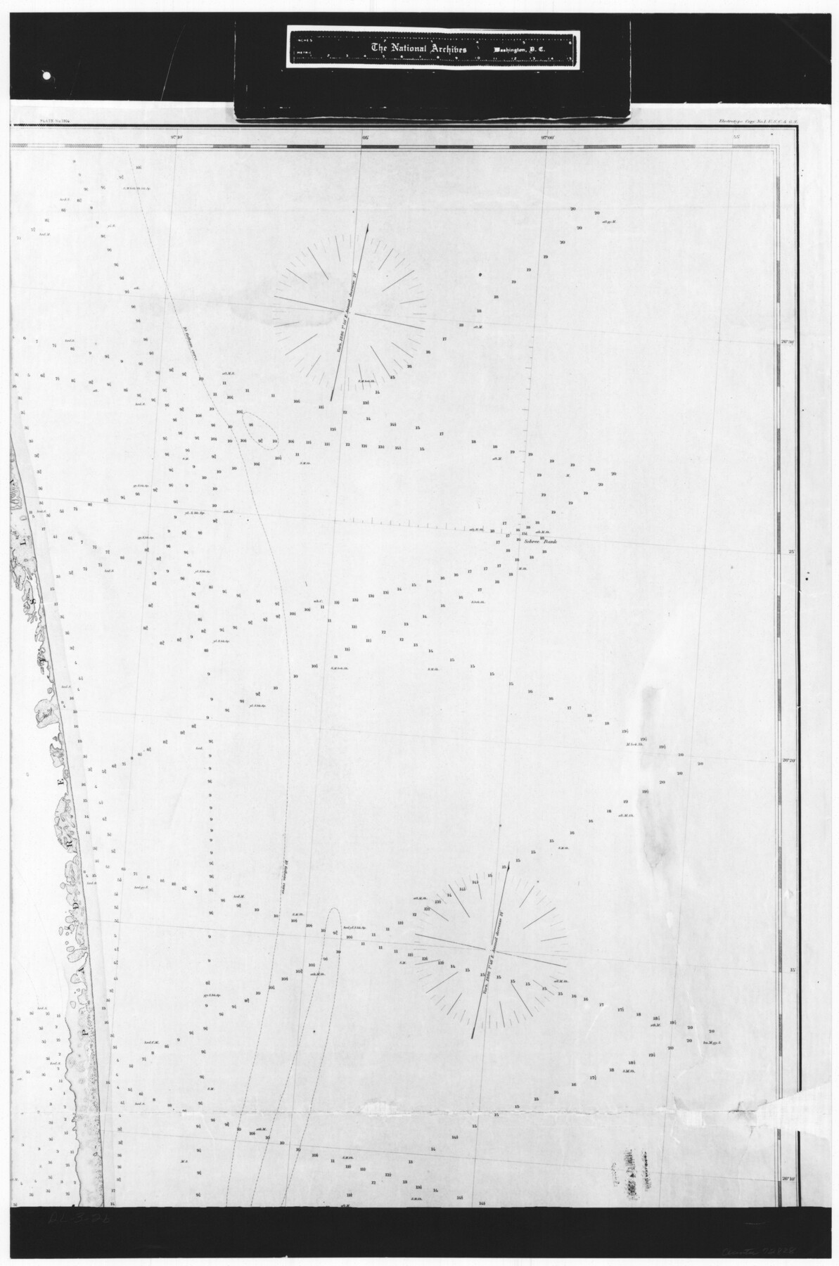
Coast Chart No. 212 - From Latitude 26° 33' to the Rio Grande Texas
RL-3-2b
-
Map/Doc
72828
-
Collection
General Map Collection
-
Object Dates
1886 (Creation Date)
-
People and Organizations
U. S. Coastal and Geodetic Survey (Publisher)
A. Lindenkohl (Draftsman)
-
Counties
Nueces
-
Subjects
Nautical Charts
-
Height x Width
27.7 x 18.3 inches
70.4 x 46.5 cm
-
Comments
B/W photostat copy from National Archives in multiple pieces.
Part of: General Map Collection
In the Supreme Court of the United States The State of Oklahoma, Complainant vs. The State of Texas, Defendant, The United States of America, Intervener - 1920

Print $20.00
- Digital $50.00
In the Supreme Court of the United States The State of Oklahoma, Complainant vs. The State of Texas, Defendant, The United States of America, Intervener - 1920
1920
Size 31.6 x 37.2 inches
Map/Doc 75115
Runnels County Sketch File 13

Print $2.00
Runnels County Sketch File 13
Size 8.0 x 6.2 inches
Map/Doc 35456
United States - Gulf Coast - Galveston to Rio Grande

Print $20.00
- Digital $50.00
United States - Gulf Coast - Galveston to Rio Grande
1919
Size 27.1 x 18.3 inches
Map/Doc 72749

Stephens County Working Sketch 18

Print $40.00
- Digital $50.00
Stephens County Working Sketch 18
1975
Size 57.4 x 32.9 inches
Map/Doc 63961

Texas Gulf Coast Map from the Sabine River to the Rio Grande as subdivided for mineral development

Print $40.00
- Digital $50.00
Texas Gulf Coast Map from the Sabine River to the Rio Grande as subdivided for mineral development
1948
Size 49.3 x 55.7 inches
Map/Doc 2906
Jefferson County Rolled Sketch 27

Print $20.00
- Digital $50.00
Jefferson County Rolled Sketch 27
1948
Size 24.2 x 46.6 inches
Map/Doc 9292
Hood County Sketch File 11

Print $20.00
- Digital $50.00
Hood County Sketch File 11
Size 17.5 x 16.2 inches
Map/Doc 11779
Terrell County Rolled Sketch 37

Print $20.00
- Digital $50.00
Terrell County Rolled Sketch 37
1940
Size 23.8 x 33.3 inches
Map/Doc 7941
Leon County Sketch File 9a

Print $6.00
- Digital $50.00
Leon County Sketch File 9a
1863
Size 10.5 x 8.6 inches
Map/Doc 29728
Anderson County Working Sketch 37

Print $20.00
- Digital $50.00
Anderson County Working Sketch 37
1984
Size 18.2 x 24.4 inches
Map/Doc 67037
You may also like
Flight Mission No. CGI-3N, Frame 147, Cameron County

Print $20.00
- Digital $50.00
Flight Mission No. CGI-3N, Frame 147, Cameron County
1954
Size 18.8 x 22.4 inches
Map/Doc 84620
Webb County Working Sketch 25

Print $20.00
- Digital $50.00
Webb County Working Sketch 25
1928
Size 38.8 x 31.2 inches
Map/Doc 72390
Galveston County Sketch File 21

Print $4.00
- Digital $50.00
Galveston County Sketch File 21
1838
Size 13.3 x 8.3 inches
Map/Doc 23392
Brassos Santiago

Print $20.00
- Digital $50.00
Brassos Santiago
1853
Size 25.3 x 18.3 inches
Map/Doc 72913
The Mexican Department of Brazos. On the Eve of Texas Independence, 1836

Print $20.00
The Mexican Department of Brazos. On the Eve of Texas Independence, 1836
2020
Size 19.7 x 21.7 inches
Map/Doc 95976
Bowie County Sketch File 8c

Print $32.00
- Digital $50.00
Bowie County Sketch File 8c
1928
Size 8.1 x 5.3 inches
Map/Doc 14878
Upton County Rolled Sketch 20

Print $40.00
- Digital $50.00
Upton County Rolled Sketch 20
1933
Size 53.0 x 36.8 inches
Map/Doc 10041
Map showing the Houston & Texas Central Railroad and its connections

Print $20.00
Map showing the Houston & Texas Central Railroad and its connections
1867
Size 22.0 x 25.2 inches
Map/Doc 93604
Atascosa County Boundary File 4

Print $80.00
- Digital $50.00
Atascosa County Boundary File 4
Size 30.6 x 59.2 inches
Map/Doc 50177
Gaines County Sketch File 6

Print $20.00
- Digital $50.00
Gaines County Sketch File 6
1924
Size 20.9 x 21.3 inches
Map/Doc 11523
Texas Gulf Coast from the Sabine River to the Rio Grande Showing Subdivision for Mineral Development.

Print $40.00
- Digital $50.00
Texas Gulf Coast from the Sabine River to the Rio Grande Showing Subdivision for Mineral Development.
1958
Size 46.5 x 118.6 inches
Map/Doc 2944
Irion County Sketch File 13

Print $4.00
- Digital $50.00
Irion County Sketch File 13
1940
Size 11.2 x 8.8 inches
Map/Doc 27484