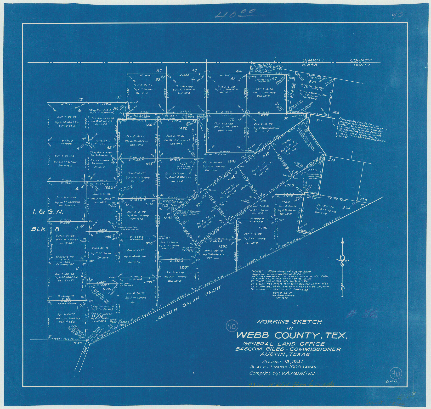
Webb County Working Sketch 40
-
Map/Doc
72405
-
Collection
General Map Collection
-
Object Dates
8/15/1941 (Creation Date)
-
People and Organizations
V.A. Wakefield (Compiler)
Dorothy H. Underwood (Draftsman)
-
Counties
Webb
-
Subjects
Surveying Working Sketch
-
Height x Width
19.6 x 20.6 inches
49.8 x 52.3 cm
-
Scale
1" = 1000 varas
Part of: General Map Collection
Hays County State Real Property Sketch 2

Print $20.00
- Digital $50.00
Hays County State Real Property Sketch 2
2006
Size 24.3 x 34.4 inches
Map/Doc 88619
Maps of Gulf Intracoastal Waterway, Texas - Sabine River to the Rio Grande and connecting waterways including ship channels

Print $20.00
- Digital $50.00
Maps of Gulf Intracoastal Waterway, Texas - Sabine River to the Rio Grande and connecting waterways including ship channels
1966
Size 14.2 x 20.1 inches
Map/Doc 61990
Rio Grande, Run Sheet

Print $2.00
- Digital $50.00
Rio Grande, Run Sheet
1931
Size 17.0 x 14.3 inches
Map/Doc 65120
Maps of Gulf Intracoastal Waterway, Texas - Sabine River to the Rio Grande and connecting waterways including ship channels

Print $20.00
- Digital $50.00
Maps of Gulf Intracoastal Waterway, Texas - Sabine River to the Rio Grande and connecting waterways including ship channels
1966
Size 14.5 x 22.3 inches
Map/Doc 61977
Map of Young County

Print $20.00
- Digital $50.00
Map of Young County
1880
Size 22.0 x 20.3 inches
Map/Doc 4174
Polk County Sketch File 26

Print $12.00
- Digital $50.00
Polk County Sketch File 26
1889
Size 8.5 x 7.1 inches
Map/Doc 34183
Red River County Working Sketch 61

Print $20.00
- Digital $50.00
Red River County Working Sketch 61
1973
Size 37.8 x 38.5 inches
Map/Doc 72044
Presidio County Sketch File 90

Print $6.00
- Digital $50.00
Presidio County Sketch File 90
Size 16.1 x 11.0 inches
Map/Doc 34761
Nueces County NRC Article 33.136 Location Key Sheet

Print $20.00
- Digital $50.00
Nueces County NRC Article 33.136 Location Key Sheet
1975
Size 27.0 x 22.8 inches
Map/Doc 77033
Trinity County Rolled Sketch 2

Print $20.00
- Digital $50.00
Trinity County Rolled Sketch 2
1948
Size 34.5 x 34.9 inches
Map/Doc 10024
Zapata County Rolled Sketch 25

Print $20.00
- Digital $50.00
Zapata County Rolled Sketch 25
Size 45.7 x 37.9 inches
Map/Doc 10172
Louisiana and Texas Intracoastal Waterway - Dredging from Freeport Harbor to Caney Creek - Sheet 2

Print $20.00
- Digital $50.00
Louisiana and Texas Intracoastal Waterway - Dredging from Freeport Harbor to Caney Creek - Sheet 2
1940
Size 31.2 x 41.3 inches
Map/Doc 61817
You may also like
Webb County Sketch File 13a

Print $20.00
- Digital $50.00
Webb County Sketch File 13a
1881
Size 19.0 x 25.7 inches
Map/Doc 12631
[Gulf, Colorado & Santa Fe Railway Company]
![64411, [Gulf, Colorado & Santa Fe Railway Company], General Map Collection](https://historictexasmaps.com/wmedia_w700/maps/64411.tif.jpg)
Print $20.00
- Digital $50.00
[Gulf, Colorado & Santa Fe Railway Company]
1893
Size 20.1 x 41.5 inches
Map/Doc 64411
General Highway Map, El Paso County, Texas

Print $20.00
General Highway Map, El Paso County, Texas
1961
Size 18.1 x 24.7 inches
Map/Doc 79457
Montgomery County Working Sketch 60

Print $20.00
- Digital $50.00
Montgomery County Working Sketch 60
1963
Size 24.3 x 42.7 inches
Map/Doc 71167
Leon County Working Sketch 29

Print $20.00
- Digital $50.00
Leon County Working Sketch 29
1971
Size 25.8 x 33.1 inches
Map/Doc 70428
Kinney County Working Sketch 14

Print $20.00
- Digital $50.00
Kinney County Working Sketch 14
1946
Size 20.8 x 28.5 inches
Map/Doc 70196
Nueces County Rolled Sketch 108

Print $62.00
Nueces County Rolled Sketch 108
1987
Size 18.6 x 23.5 inches
Map/Doc 7112
Presidio County Rolled Sketch 140

Print $20.00
- Digital $50.00
Presidio County Rolled Sketch 140
2003
Size 44.4 x 34.7 inches
Map/Doc 78654
Karnes County Sketch File 17

Print $4.00
- Digital $50.00
Karnes County Sketch File 17
1873
Size 12.8 x 8.0 inches
Map/Doc 28622
Jim Hogg County Working Sketch 5

Print $20.00
- Digital $50.00
Jim Hogg County Working Sketch 5
1941
Size 40.8 x 41.0 inches
Map/Doc 66591
Rusk County Sketch File 40

Print $20.00
Rusk County Sketch File 40
1951
Size 23.2 x 26.6 inches
Map/Doc 12276
