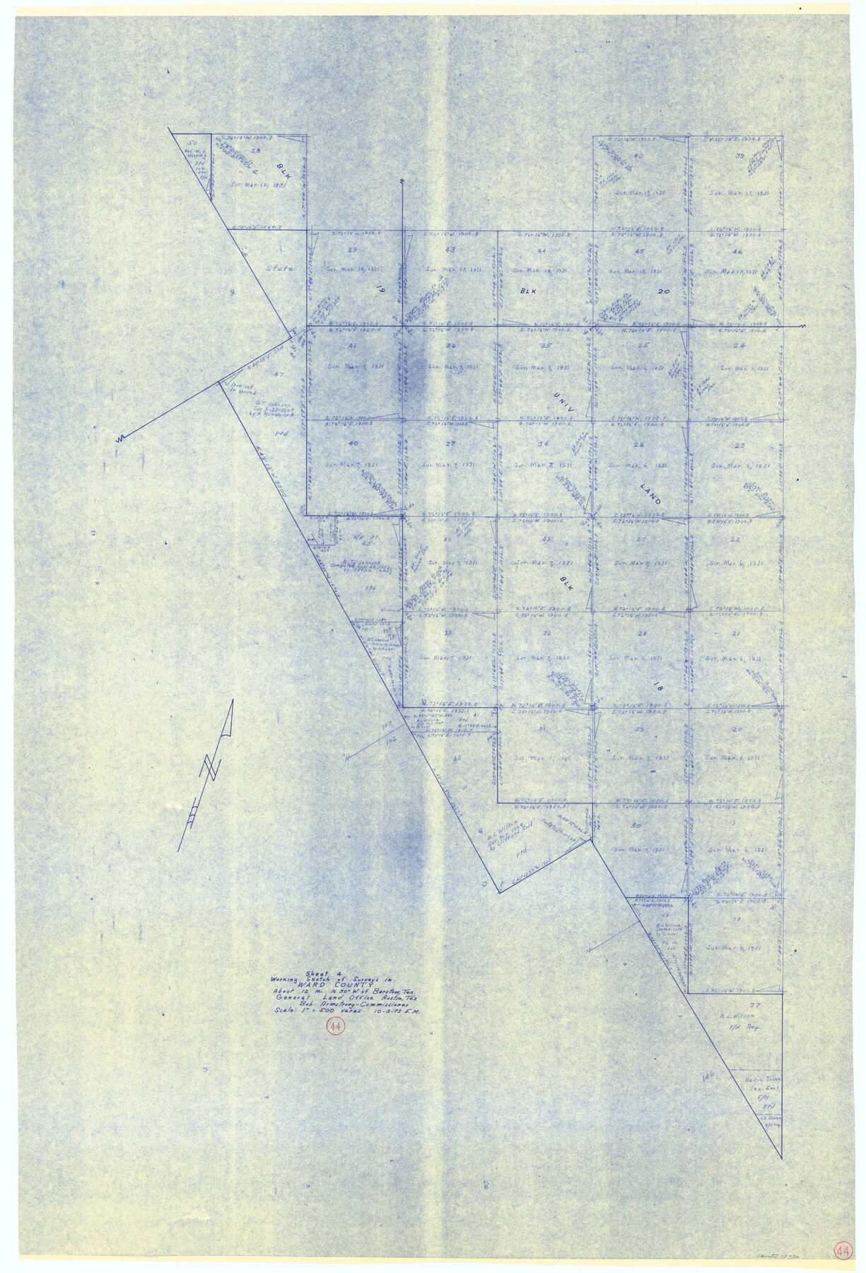
Ward County Working Sketch 44
-
Map/Doc
72350
-
Collection
General Map Collection
-
Object Dates
10/3/1973 (Creation Date)
-
People and Organizations
Elbert Menzel (Draftsman)
-
Counties
Ward
-
Subjects
Surveying Working Sketch
-
Height x Width
50.8 x 34.6 inches
129.0 x 87.9 cm
-
Scale
1" = 500 varas
Part of: General Map Collection
Stephens County Working Sketch 9

Print $20.00
- Digital $50.00
Stephens County Working Sketch 9
1920
Size 16.3 x 14.6 inches
Map/Doc 63952
Duval County Boundary File 1e

Print $40.00
- Digital $50.00
Duval County Boundary File 1e
Size 6.1 x 23.1 inches
Map/Doc 52701
Nolan County Sketch File 19

Print $20.00
- Digital $50.00
Nolan County Sketch File 19
1937
Size 17.3 x 19.6 inches
Map/Doc 42167
Pecos County Sketch File 28a

Print $14.00
- Digital $50.00
Pecos County Sketch File 28a
1911
Size 14.5 x 8.9 inches
Map/Doc 33683
Gray County Boundary File 9

Print $6.00
- Digital $50.00
Gray County Boundary File 9
Size 11.6 x 9.1 inches
Map/Doc 53902
Flight Mission No. BRE-5P, Frame 199, Nueces County

Print $20.00
- Digital $50.00
Flight Mission No. BRE-5P, Frame 199, Nueces County
1956
Size 18.4 x 22.3 inches
Map/Doc 86839
Hutchinson County Rolled Sketch 44-16

Print $20.00
- Digital $50.00
Hutchinson County Rolled Sketch 44-16
2002
Size 24.0 x 36.0 inches
Map/Doc 77552
Brewster County Sketch File NS-4

Print $40.00
- Digital $50.00
Brewster County Sketch File NS-4
1929
Size 17.8 x 22.8 inches
Map/Doc 10987
Fort Bend County Sketch File 30

Print $18.00
- Digital $50.00
Fort Bend County Sketch File 30
1920
Size 12.1 x 6.5 inches
Map/Doc 22988
Liberty County Rolled Sketch 13

Print $20.00
- Digital $50.00
Liberty County Rolled Sketch 13
1983
Size 27.0 x 37.8 inches
Map/Doc 6619

Borden County Sketch File 4a

Print $40.00
- Digital $50.00
Borden County Sketch File 4a
Size 27.1 x 18.1 inches
Map/Doc 10934
You may also like
Jasper County Sketch File 20

Print $4.00
- Digital $50.00
Jasper County Sketch File 20
Size 8.7 x 12.2 inches
Map/Doc 27818
[Sketch for Mineral Application 16777]
![65656, [Sketch for Mineral Application 16777], General Map Collection](https://historictexasmaps.com/wmedia_w700/maps/65656-1.tif.jpg)
Print $40.00
- Digital $50.00
[Sketch for Mineral Application 16777]
Size 80.3 x 20.0 inches
Map/Doc 65656

Young County Sketch File 1

Print $8.00
- Digital $50.00
Young County Sketch File 1
1853
Size 7.9 x 9.7 inches
Map/Doc 40843
Milam County Rolled Sketch 5A

Print $20.00
- Digital $50.00
Milam County Rolled Sketch 5A
1997
Size 28.0 x 39.8 inches
Map/Doc 6778
Culberson County Working Sketch 22

Print $20.00
- Digital $50.00
Culberson County Working Sketch 22
1938
Size 23.0 x 18.7 inches
Map/Doc 68474
Hutchinson County Rolled Sketch 13

Print $20.00
- Digital $50.00
Hutchinson County Rolled Sketch 13
Size 17.8 x 16.7 inches
Map/Doc 6283
Tyler County Rolled Sketch 7

Print $20.00
- Digital $50.00
Tyler County Rolled Sketch 7
1960
Size 40.0 x 46.5 inches
Map/Doc 10030
Pecos County Working Sketch 64

Print $20.00
- Digital $50.00
Pecos County Working Sketch 64
1955
Size 27.7 x 43.4 inches
Map/Doc 71536
General Highway Map, Coleman County, Texas

Print $20.00
General Highway Map, Coleman County, Texas
1961
Size 24.6 x 18.3 inches
Map/Doc 79412
Refugio County Sketch File 8a

Print $2.00
- Digital $50.00
Refugio County Sketch File 8a
Size 8.1 x 10.2 inches
Map/Doc 35253
Planiglobii Terrestris Mappa Universalis Utrumqs Hemisphaerium Orient et Occidentale

Print $20.00
- Digital $50.00
Planiglobii Terrestris Mappa Universalis Utrumqs Hemisphaerium Orient et Occidentale
1746
Size 21.4 x 24.4 inches
Map/Doc 96580