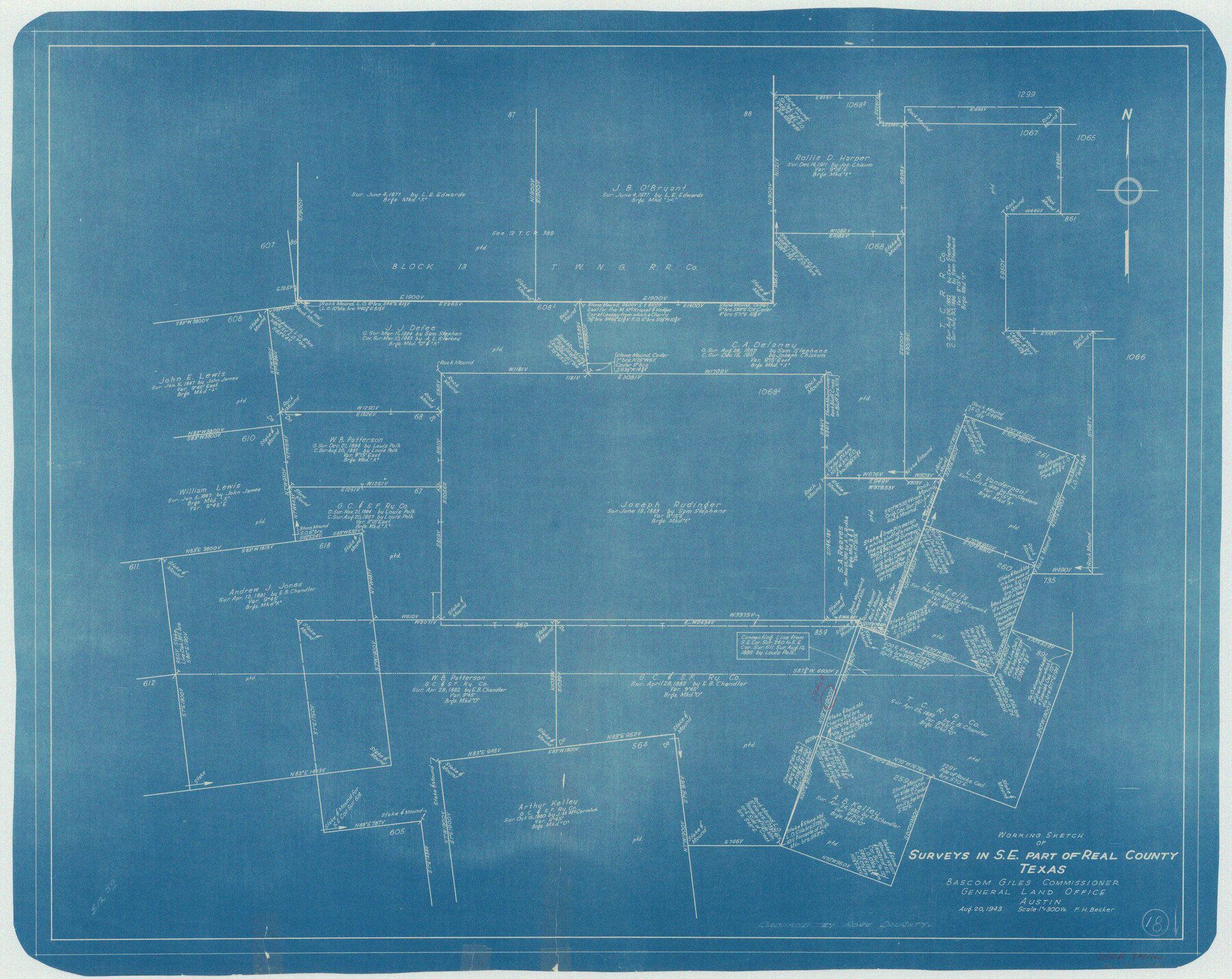
Real County Working Sketch 18
-
Map/Doc
71910
-
Collection
General Map Collection
-
Object Dates
8/20/1943 (Creation Date)
-
People and Organizations
F.H. Becker (Draftsman)
-
Counties
Real
-
Subjects
Surveying Working Sketch
-
Height x Width
26.5 x 33.3 inches
67.3 x 84.6 cm
-
Scale
1" = 300 varas
Part of: General Map Collection
Terrell County Rolled Sketch 53

Print $20.00
- Digital $50.00
Terrell County Rolled Sketch 53
Size 33.1 x 24.2 inches
Map/Doc 7971

Map of Burnet Co.

Print $20.00
- Digital $50.00
Map of Burnet Co.
1887
Size 45.5 x 37.9 inches
Map/Doc 7816
Flight Mission No. BRA-8M, Frame 142, Jefferson County

Print $20.00
- Digital $50.00
Flight Mission No. BRA-8M, Frame 142, Jefferson County
1953
Size 18.5 x 22.1 inches
Map/Doc 85634
Smith County Working Sketch 14

Print $40.00
- Digital $50.00
Smith County Working Sketch 14
1966
Size 34.9 x 49.2 inches
Map/Doc 63899
Flight Mission No. BQY-15M, Frame 13, Harris County

Print $20.00
- Digital $50.00
Flight Mission No. BQY-15M, Frame 13, Harris County
1953
Size 18.8 x 22.5 inches
Map/Doc 85311
Kerr County Rolled Sketch 8 and 9

Print $40.00
- Digital $50.00
Kerr County Rolled Sketch 8 and 9
Size 56.3 x 37.9 inches
Map/Doc 8346
Travis County Sketch File 4A

Print $8.00
- Digital $50.00
Travis County Sketch File 4A
1855
Size 8.4 x 11.2 inches
Map/Doc 38280
Red River County

Print $20.00
- Digital $50.00
Red River County
1896
Size 24.3 x 21.5 inches
Map/Doc 3977
Hidalgo County Sketch File 2

Print $14.00
- Digital $50.00
Hidalgo County Sketch File 2
1877
Size 10.1 x 8.1 inches
Map/Doc 26394

Calhoun County Working Sketch 2b

Print $20.00
- Digital $50.00
Calhoun County Working Sketch 2b
1913
Size 17.3 x 15.8 inches
Map/Doc 67818
You may also like
Fort Bend County Sketch File 14

Print $24.00
- Digital $50.00
Fort Bend County Sketch File 14
1890
Size 12.3 x 7.4 inches
Map/Doc 22913
General Highway Map, Madison County, Texas

Print $20.00
General Highway Map, Madison County, Texas
1940
Size 18.3 x 24.5 inches
Map/Doc 79183
[Block 1 PO, Surveys 15, 16, and 17]
![91433, [Block 1 PO, Surveys 15, 16, and 17], Twichell Survey Records](https://historictexasmaps.com/wmedia_w700/maps/91433-1.tif.jpg)
Print $20.00
- Digital $50.00
[Block 1 PO, Surveys 15, 16, and 17]
1906
Size 16.6 x 15.6 inches
Map/Doc 91433
New Hobbs, Lea County, New Mexico

Print $20.00
- Digital $50.00
New Hobbs, Lea County, New Mexico
Size 15.7 x 20.1 inches
Map/Doc 92424
Dimmit County Sketch File 41

Print $4.00
- Digital $50.00
Dimmit County Sketch File 41
1901
Size 14.6 x 9.1 inches
Map/Doc 21169
Dallas County Boundary File 8 and 8a

Print $4.00
- Digital $50.00
Dallas County Boundary File 8 and 8a
Size 11.2 x 8.7 inches
Map/Doc 52311
Pecos County Rolled Sketch 114

Print $856.00
- Digital $50.00
Pecos County Rolled Sketch 114
1942
Size 11.0 x 15.4 inches
Map/Doc 48104
Kent County Rolled Sketch 4

Print $20.00
- Digital $50.00
Kent County Rolled Sketch 4
1950
Size 22.1 x 31.1 inches
Map/Doc 6475
Jeff Davis County Working Sketch 46

Print $20.00
- Digital $50.00
Jeff Davis County Working Sketch 46
1991
Size 38.8 x 36.7 inches
Map/Doc 66541
Nueces County, Texas

Print $20.00
- Digital $50.00
Nueces County, Texas
1879
Size 29.3 x 40.0 inches
Map/Doc 590
Flight Mission No. DQN-1K, Frame 44, Calhoun County

Print $20.00
- Digital $50.00
Flight Mission No. DQN-1K, Frame 44, Calhoun County
1953
Size 18.6 x 22.3 inches
Map/Doc 84144
Anderson County Sketch File 25

Print $40.00
- Digital $50.00
Anderson County Sketch File 25
1969
Size 40.9 x 21.9 inches
Map/Doc 10316