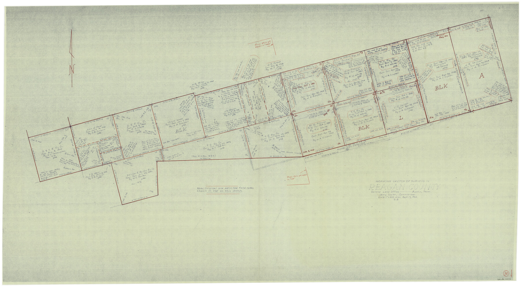
Reagan County Working Sketch 30
-
Map/Doc
71872
-
Collection
General Map Collection
-
Object Dates
9/17/1963 (Creation Date)
-
People and Organizations
Roy Buckholts (Draftsman)
-
Counties
Reagan
-
Subjects
Surveying Working Sketch
-
Height x Width
31.9 x 57.3 inches
81.0 x 145.5 cm
-
Scale
1" = 400 varas
Part of: General Map Collection
Palo Pinto County Sketch File 27

Print $21.00
- Digital $50.00
Palo Pinto County Sketch File 27
1875
Size 9.8 x 15.7 inches
Map/Doc 33430
[Surveys in Bexar County]
![93, [Surveys in Bexar County], General Map Collection](https://historictexasmaps.com/wmedia_w700/maps/93.tif.jpg)
Print $2.00
- Digital $50.00
[Surveys in Bexar County]
Size 11.3 x 6.9 inches
Map/Doc 93
Hardin County Sketch File X

Print $9.00
- Digital $50.00
Hardin County Sketch File X
Size 8.2 x 8.3 inches
Map/Doc 25075
Flight Mission No. BRA-16M, Frame 94, Jefferson County

Print $20.00
- Digital $50.00
Flight Mission No. BRA-16M, Frame 94, Jefferson County
1953
Size 18.5 x 22.1 inches
Map/Doc 85706
National Map Company's New Road Survey of the United States Showing Main Highways

Print $20.00
- Digital $50.00
National Map Company's New Road Survey of the United States Showing Main Highways
Size 44.3 x 38.2 inches
Map/Doc 4674
Colorado County Working Sketch 14

Print $20.00
- Digital $50.00
Colorado County Working Sketch 14
1944
Size 30.8 x 21.6 inches
Map/Doc 68114
Val Verde County Sketch File 35b

Print $20.00
- Digital $50.00
Val Verde County Sketch File 35b
1936
Size 18.3 x 23.9 inches
Map/Doc 12576

Polk County Sketch File 9

Print $28.00
- Digital $50.00
Polk County Sketch File 9
1861
Size 11.9 x 7.7 inches
Map/Doc 34136
Bosque County Sketch File 16

Print $14.00
- Digital $50.00
Bosque County Sketch File 16
Size 13.0 x 7.9 inches
Map/Doc 14781
Bell County Sketch File 29

Print $4.00
- Digital $50.00
Bell County Sketch File 29
1874
Size 13.1 x 8.1 inches
Map/Doc 14439
Index sheet to accompany map of survey for connecting the inland waters along margin of the Gulf of Mexico from Donaldsonville in Louisiana to the Rio Grande River in Texas

Print $20.00
- Digital $50.00
Index sheet to accompany map of survey for connecting the inland waters along margin of the Gulf of Mexico from Donaldsonville in Louisiana to the Rio Grande River in Texas
1873
Size 18.2 x 28.1 inches
Map/Doc 72692
You may also like
Bandera County Sketch File 5

Print $4.00
- Digital $50.00
Bandera County Sketch File 5
Size 8.6 x 6.8 inches
Map/Doc 14003
Part of Laguna Madre from Mosquito Trangulation Station to Sand Triangulation Station

Print $40.00
- Digital $50.00
Part of Laguna Madre from Mosquito Trangulation Station to Sand Triangulation Station
1881
Size 34.5 x 54.6 inches
Map/Doc 73486
McMullen County Sketch File 17

Print $4.00
- Digital $50.00
McMullen County Sketch File 17
Size 8.0 x 10.0 inches
Map/Doc 31369
Harris County NRC Article 33.136 Location Key Sheet

Print $20.00
- Digital $50.00
Harris County NRC Article 33.136 Location Key Sheet
1995
Size 27.0 x 21.8 inches
Map/Doc 77027
General Highway Map, Brazos County, Texas

Print $20.00
General Highway Map, Brazos County, Texas
1940
Size 25.2 x 18.5 inches
Map/Doc 79026
Nueces County Sketch File 42

Print $24.00
- Digital $50.00
Nueces County Sketch File 42
1950
Size 11.0 x 8.6 inches
Map/Doc 32633
Flight Mission No. BRA-9M, Frame 73, Jefferson County

Print $20.00
- Digital $50.00
Flight Mission No. BRA-9M, Frame 73, Jefferson County
1953
Size 18.6 x 22.6 inches
Map/Doc 85656
Orange County Working Sketch 44

Print $20.00
- Digital $50.00
Orange County Working Sketch 44
1980
Size 16.5 x 22.0 inches
Map/Doc 71376
Polk County Sketch File 44

Print $193.00
- Digital $50.00
Polk County Sketch File 44
1958
Size 9.4 x 11.0 inches
Map/Doc 34297
Brewster County Rolled Sketch 112

Print $20.00
- Digital $50.00
Brewster County Rolled Sketch 112
1962
Size 28.9 x 25.7 inches
Map/Doc 5263
The Judicial District/County of Neches. Created, January 29, 1842

Print $20.00
The Judicial District/County of Neches. Created, January 29, 1842
2020
Size 15.5 x 21.7 inches
Map/Doc 96338
Henderson County Sketch File 2

Print $20.00
- Digital $50.00
Henderson County Sketch File 2
1850
Size 21.6 x 17.1 inches
Map/Doc 11755