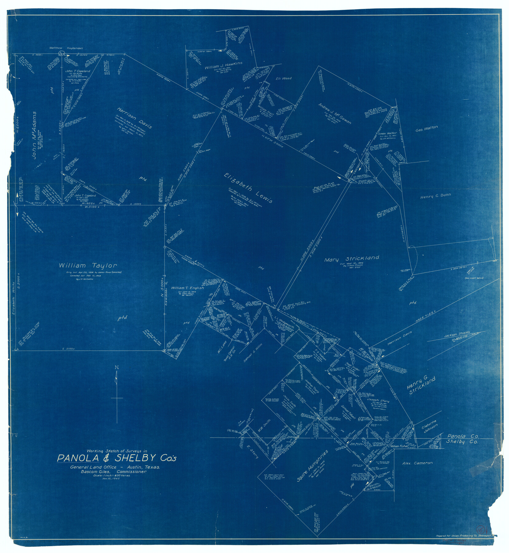
Panola County Working Sketch 16
-
Map/Doc
71425
-
Collection
General Map Collection
-
Object Dates
11/15/1945 (Creation Date)
-
People and Organizations
W. S. Brewington (Draftsman)
-
Counties
Panola Shelby
-
Subjects
Surveying Working Sketch
-
Scale
1" = 400 varas
Part of: General Map Collection
Crane County Rolled Sketch 22

Print $20.00
- Digital $50.00
Crane County Rolled Sketch 22
1990
Size 12.5 x 19.3 inches
Map/Doc 5578
Gaines County Working Sketch 18

Print $20.00
- Digital $50.00
Gaines County Working Sketch 18
1970
Size 25.4 x 44.5 inches
Map/Doc 69318
Brazoria County

Print $20.00
- Digital $50.00
Brazoria County
1879
Size 26.6 x 25.1 inches
Map/Doc 859
United States - Gulf Coast - Aransas Pass and Corpus Christi Bay with the coast to latitude 27° 12' Texas

Print $20.00
- Digital $50.00
United States - Gulf Coast - Aransas Pass and Corpus Christi Bay with the coast to latitude 27° 12' Texas
1913
Size 27.7 x 18.4 inches
Map/Doc 72795
Crockett County Working Sketch 13

Print $20.00
- Digital $50.00
Crockett County Working Sketch 13
1916
Size 16.6 x 18.5 inches
Map/Doc 68346
Hays County Working Sketch Graphic Index

Print $20.00
- Digital $50.00
Hays County Working Sketch Graphic Index
1946
Size 43.7 x 40.9 inches
Map/Doc 76573
Newton County Sketch File 25

Print $4.00
- Digital $50.00
Newton County Sketch File 25
Size 7.8 x 8.3 inches
Map/Doc 32407
Bee County Sketch File 16

Print $4.00
- Digital $50.00
Bee County Sketch File 16
1878
Size 8.6 x 7.7 inches
Map/Doc 14299
Montague County Sketch File 8

Print $22.00
- Digital $50.00
Montague County Sketch File 8
Size 8.1 x 3.7 inches
Map/Doc 31722
Collingsworth County Sketch File 2

Print $20.00
- Digital $50.00
Collingsworth County Sketch File 2
1888
Size 24.3 x 31.3 inches
Map/Doc 11129
Flight Mission No. CRE-1R, Frame 136, Jackson County

Print $20.00
- Digital $50.00
Flight Mission No. CRE-1R, Frame 136, Jackson County
1956
Size 16.0 x 15.9 inches
Map/Doc 85344

You may also like
Flight Mission No. BQY-15M, Frame 8, Harris County

Print $20.00
- Digital $50.00
Flight Mission No. BQY-15M, Frame 8, Harris County
1953
Size 18.7 x 22.4 inches
Map/Doc 85306
Upton County Working Sketch 57

Print $20.00
- Digital $50.00
Upton County Working Sketch 57
1988
Size 28.9 x 37.4 inches
Map/Doc 69554
Mason County Working Sketch 6

Print $20.00
- Digital $50.00
Mason County Working Sketch 6
1940
Size 17.9 x 11.1 inches
Map/Doc 70842
Val Verde County Working Sketch 54

Print $20.00
- Digital $50.00
Val Verde County Working Sketch 54
1956
Size 24.0 x 20.4 inches
Map/Doc 72189
Map of Caldwell County

Print $20.00
- Digital $50.00
Map of Caldwell County
1871
Size 17.2 x 19.8 inches
Map/Doc 3357
Lipscomb County Boundary File 5

Print $4.00
- Digital $50.00
Lipscomb County Boundary File 5
Size 5.5 x 8.6 inches
Map/Doc 56327
Archer County Working Sketch 8

Print $20.00
- Digital $50.00
Archer County Working Sketch 8
1921
Size 18.3 x 19.3 inches
Map/Doc 67148
Angelina County Sketch File 11e

Print $6.00
- Digital $50.00
Angelina County Sketch File 11e
1885
Size 12.7 x 8.2 inches
Map/Doc 12951
Sketch of a road from Fort Croghan to Phantom Hill, Texas

Print $20.00
- Digital $50.00
Sketch of a road from Fort Croghan to Phantom Hill, Texas
1852
Size 34.7 x 12.2 inches
Map/Doc 2007
Rusk County Sketch File 17a

Print $4.00
Rusk County Sketch File 17a
Size 8.4 x 7.8 inches
Map/Doc 35522
Brewster County Rolled Sketch 135

Print $20.00
- Digital $50.00
Brewster County Rolled Sketch 135
Size 43.1 x 41.5 inches
Map/Doc 8525
Duval County Boundary File 3g

Print $4.00
- Digital $50.00
Duval County Boundary File 3g
Size 9.9 x 7.8 inches
Map/Doc 52747