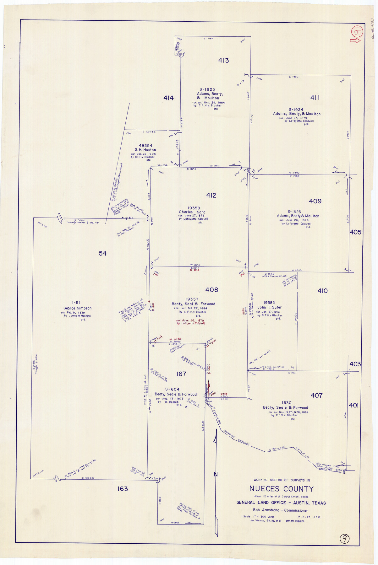
Nueces County Working Sketch 9
-
Map/Doc
71311
-
Collection
General Map Collection
-
Object Dates
7/5/1977 (Creation Date)
-
People and Organizations
Joan Kilpatrick (Draftsman)
-
Counties
Nueces
-
Subjects
Surveying Working Sketch
-
Height x Width
36.1 x 24.1 inches
91.7 x 61.2 cm
-
Scale
1" = 300 varas
Part of: General Map Collection
Harrison County Working Sketch 22

Print $40.00
- Digital $50.00
Harrison County Working Sketch 22
1982
Size 54.2 x 37.0 inches
Map/Doc 66042
Map of Erath County

Print $40.00
- Digital $50.00
Map of Erath County
1896
Size 49.6 x 43.5 inches
Map/Doc 4943
Matagorda County Sketch File 13

Print $20.00
- Digital $50.00
Matagorda County Sketch File 13
1902
Size 21.5 x 19.0 inches
Map/Doc 12039
Red River County Working Sketch 63

Print $20.00
- Digital $50.00
Red River County Working Sketch 63
1973
Size 43.6 x 37.0 inches
Map/Doc 72046
Complete Report of John H. Clark's Survey of Texas-U. S. Boundary - 1859 through 1862, including maps

Print $323.00
Complete Report of John H. Clark's Survey of Texas-U. S. Boundary - 1859 through 1862, including maps
1882
Map/Doc 81685
Flight Mission No. BRE-2P, Frame 11, Nueces County

Print $20.00
- Digital $50.00
Flight Mission No. BRE-2P, Frame 11, Nueces County
1956
Size 18.6 x 22.7 inches
Map/Doc 86720
Menard County Boundary File 7

Print $6.00
- Digital $50.00
Menard County Boundary File 7
Size 10.5 x 8.1 inches
Map/Doc 57089
Bexar County Working Sketch 3

Print $20.00
- Digital $50.00
Bexar County Working Sketch 3
1941
Size 19.6 x 21.6 inches
Map/Doc 67319
Reagan County Boundary File 1a

Print $50.00
- Digital $50.00
Reagan County Boundary File 1a
Size 14.4 x 8.7 inches
Map/Doc 58154
Brazos River, Brazos River Sheet 8

Print $4.00
- Digital $50.00
Brazos River, Brazos River Sheet 8
1926
Size 22.6 x 29.2 inches
Map/Doc 65301
Bandera County Working Sketch 20

Print $20.00
- Digital $50.00
Bandera County Working Sketch 20
1947
Size 25.4 x 19.8 inches
Map/Doc 67616
Nueces County Sketch File 2

Print $24.00
- Digital $50.00
Nueces County Sketch File 2
1847
Size 7.6 x 12.5 inches
Map/Doc 32500
You may also like
Navigation Maps of Gulf Intracoastal Waterway, Port Arthur to Brownsville, Texas

Print $4.00
- Digital $50.00
Navigation Maps of Gulf Intracoastal Waterway, Port Arthur to Brownsville, Texas
1951
Size 16.7 x 21.4 inches
Map/Doc 65423
Hardeman County Aerial Photograph Index Sheet 2

Print $20.00
- Digital $50.00
Hardeman County Aerial Photograph Index Sheet 2
1950
Size 20.3 x 16.9 inches
Map/Doc 83698
Ellis County Sketch File 13

Print $40.00
- Digital $50.00
Ellis County Sketch File 13
1860
Size 12.6 x 16.0 inches
Map/Doc 21852
Primera parte del Mapa, que comprende la Frontera, de los Dominios del Rey, en la America Septentrional

Print $40.00
- Digital $50.00
Primera parte del Mapa, que comprende la Frontera, de los Dominios del Rey, en la America Septentrional
1769
Size 25.8 x 63.2 inches
Map/Doc 3062
General Highway Map, Nolan County, Texas

Print $20.00
General Highway Map, Nolan County, Texas
1961
Size 19.3 x 25.0 inches
Map/Doc 79614
Reeves County Working Sketch 10

Print $20.00
- Digital $50.00
Reeves County Working Sketch 10
1956
Size 26.0 x 37.2 inches
Map/Doc 63453
Ward County Working Sketch 20

Print $20.00
- Digital $50.00
Ward County Working Sketch 20
1949
Size 15.3 x 12.5 inches
Map/Doc 72326
Fractional Township No. 8 South Range No. 22 East of the Indian Meridian, Indian Territory

Print $20.00
- Digital $50.00
Fractional Township No. 8 South Range No. 22 East of the Indian Meridian, Indian Territory
1897
Size 19.2 x 24.2 inches
Map/Doc 75239
Bowie County Sketch File 8c

Print $32.00
- Digital $50.00
Bowie County Sketch File 8c
1928
Size 8.1 x 5.3 inches
Map/Doc 14878
Calhoun County Rolled Sketch 20

Print $20.00
- Digital $50.00
Calhoun County Rolled Sketch 20
1959
Size 36.9 x 20.7 inches
Map/Doc 5372
Topographical Map of the country between San Antonio & Colorado Rivers in the State of Texas.

Print $40.00
Topographical Map of the country between San Antonio & Colorado Rivers in the State of Texas.
1864
Size 53.4 x 69.8 inches
Map/Doc 88605
Sutton County Boundary File 4

Print $20.00
- Digital $50.00
Sutton County Boundary File 4
Size 14.2 x 8.8 inches
Map/Doc 59035