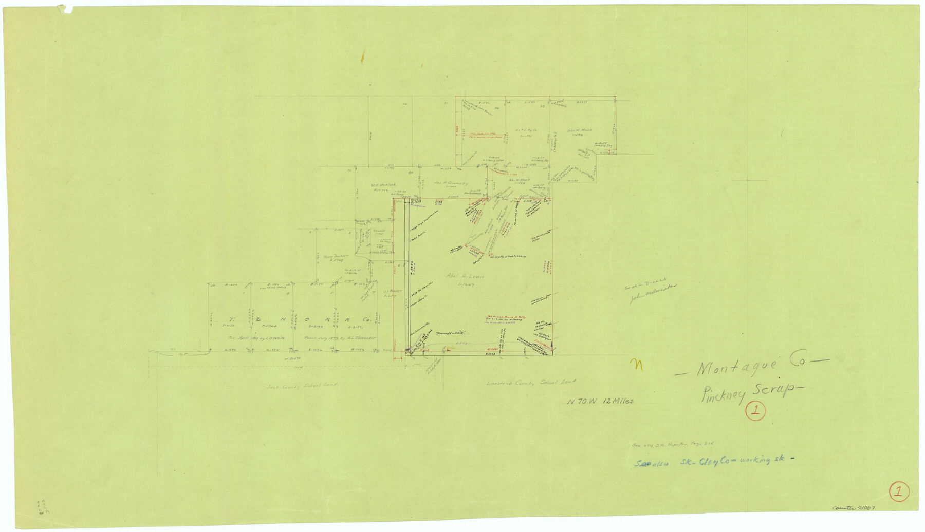
Montague County Working Sketch 1
-
Map/Doc
71067
-
Collection
General Map Collection
-
Counties
Montague
-
Subjects
Surveying Working Sketch
-
Height x Width
18.7 x 32.5 inches
47.5 x 82.6 cm
Part of: General Map Collection
Burnet County Sketch File 2

Print $4.00
- Digital $50.00
Burnet County Sketch File 2
Size 8.1 x 6.1 inches
Map/Doc 16672
Freestone County Sketch File 5

Print $42.00
- Digital $50.00
Freestone County Sketch File 5
1854
Size 4.6 x 5.2 inches
Map/Doc 23047
[Surveys in the Bexar District along the Frio and Leona Rivers]
![136, [Surveys in the Bexar District along the Frio and Leona Rivers], General Map Collection](https://historictexasmaps.com/wmedia_w700/maps/136.tif.jpg)
Print $20.00
- Digital $50.00
[Surveys in the Bexar District along the Frio and Leona Rivers]
1842
Size 16.2 x 12.2 inches
Map/Doc 136
State of Texas

Print $40.00
- Digital $50.00
State of Texas
1965
Size 43.1 x 52.8 inches
Map/Doc 2488
[Surveys in Austin's Colony along the east side of the Brazos River]
![191, [Surveys in Austin's Colony along the east side of the Brazos River], General Map Collection](https://historictexasmaps.com/wmedia_w700/maps/191-1.tif.jpg)
Print $20.00
- Digital $50.00
[Surveys in Austin's Colony along the east side of the Brazos River]
1824
Size 26.7 x 8.4 inches
Map/Doc 191

Terrell County Sketch File 28

Print $20.00
- Digital $50.00
Terrell County Sketch File 28
1939
Size 18.3 x 22.8 inches
Map/Doc 12425
Schleicher County Sketch File 21

Print $40.00
- Digital $50.00
Schleicher County Sketch File 21
1936
Size 14.5 x 15.2 inches
Map/Doc 36510
Terrell County Working Sketch 47

Print $40.00
- Digital $50.00
Terrell County Working Sketch 47
1958
Size 59.0 x 43.0 inches
Map/Doc 62140
Karnes County Working Sketch 8

Print $40.00
- Digital $50.00
Karnes County Working Sketch 8
1962
Size 51.8 x 36.0 inches
Map/Doc 66656
Van Zandt County Sketch File 28

Print $4.00
- Digital $50.00
Van Zandt County Sketch File 28
1859
Size 12.5 x 8.2 inches
Map/Doc 39451
Fractional Township No. 8 South Range No. 1 West of the Indian Meridian, Indian Territory

Print $20.00
- Digital $50.00
Fractional Township No. 8 South Range No. 1 West of the Indian Meridian, Indian Territory
1898
Size 19.2 x 24.4 inches
Map/Doc 75198
You may also like
Schleicher County Sketch File 10

Print $9.00
- Digital $50.00
Schleicher County Sketch File 10
1885
Size 12.7 x 8.2 inches
Map/Doc 36485
Starr County Working Sketch 15

Print $20.00
- Digital $50.00
Starr County Working Sketch 15
1971
Size 34.4 x 37.6 inches
Map/Doc 63931
Culberson County Working Sketch Graphic Index, Sheet A (Sketches 1 to 40)

Print $40.00
- Digital $50.00
Culberson County Working Sketch Graphic Index, Sheet A (Sketches 1 to 40)
1943
Size 51.6 x 32.7 inches
Map/Doc 76514
Victoria County Rolled Sketch 9

Print $20.00
- Digital $50.00
Victoria County Rolled Sketch 9
Size 24.1 x 36.1 inches
Map/Doc 95400
Lamar County Working Sketch 2

Print $20.00
- Digital $50.00
Lamar County Working Sketch 2
Size 27.9 x 25.6 inches
Map/Doc 70263
Ramon de la Garza 11 Leagues Houston and Robertson Districts

Print $2.00
- Digital $50.00
Ramon de la Garza 11 Leagues Houston and Robertson Districts
Size 11.5 x 8.5 inches
Map/Doc 181
King County Working Sketch 2

Print $20.00
- Digital $50.00
King County Working Sketch 2
1916
Size 13.6 x 13.9 inches
Map/Doc 70166
Mitchell County Boundary File 1c

Print $12.00
- Digital $50.00
Mitchell County Boundary File 1c
Size 8.7 x 12.3 inches
Map/Doc 57361
Somervell County Working Sketch 6

Print $20.00
- Digital $50.00
Somervell County Working Sketch 6
1992
Size 23.2 x 21.5 inches
Map/Doc 63910
Maps of Gulf Intracoastal Waterway, Texas - Sabine River to the Rio Grande and connecting waterways including ship channels

Print $20.00
- Digital $50.00
Maps of Gulf Intracoastal Waterway, Texas - Sabine River to the Rio Grande and connecting waterways including ship channels
1966
Size 14.6 x 20.8 inches
Map/Doc 61993
Eastland County Working Sketch 29

Print $20.00
- Digital $50.00
Eastland County Working Sketch 29
1952
Size 21.1 x 22.3 inches
Map/Doc 68810
Falls County Sketch File 11b

Print $4.00
- Digital $50.00
Falls County Sketch File 11b
1871
Size 10.4 x 8.5 inches
Map/Doc 22362