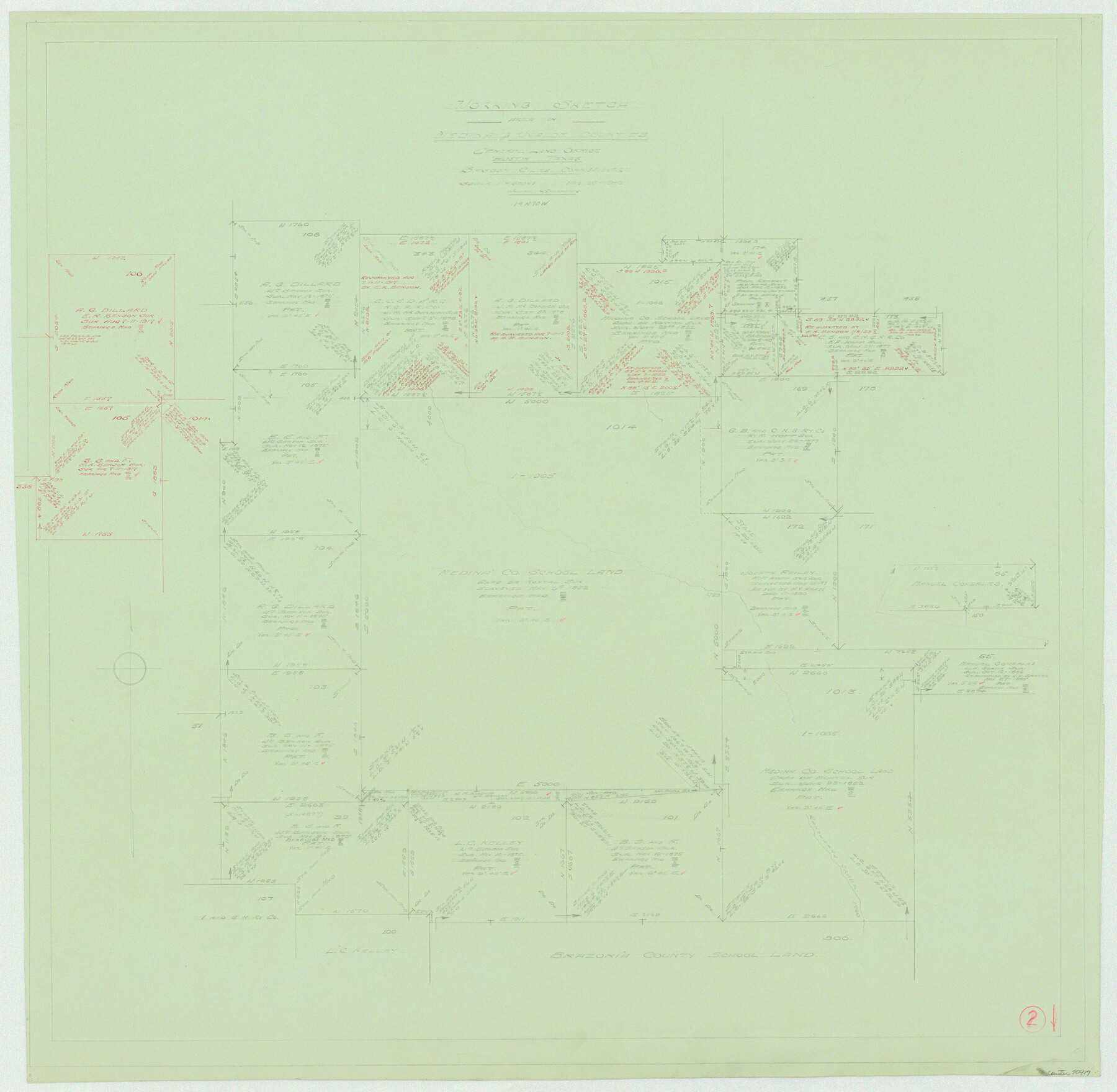
Medina County Working Sketch 2
-
Map/Doc
70917
-
Collection
General Map Collection
-
Object Dates
2/20/1942 (Creation Date)
-
People and Organizations
William Shirriffs (Draftsman)
-
Counties
Medina Uvalde
-
Subjects
Surveying Working Sketch
-
Height x Width
30.3 x 31.0 inches
77.0 x 78.7 cm
-
Scale
1" = 300 varas
Part of: General Map Collection

Brown County Working Sketch 13

Print $20.00
- Digital $50.00
Brown County Working Sketch 13
1985
Size 34.1 x 30.4 inches
Map/Doc 67778
Bell County Sketch File 32

Print $10.00
- Digital $50.00
Bell County Sketch File 32
1905
Size 7.6 x 8.8 inches
Map/Doc 14447
Hartley County Sketch File 15

Print $20.00
- Digital $50.00
Hartley County Sketch File 15
Size 31.2 x 16.6 inches
Map/Doc 11737
Zapata County Rolled Sketch 12A

Print $40.00
- Digital $50.00
Zapata County Rolled Sketch 12A
1917
Size 54.0 x 40.0 inches
Map/Doc 10165
Map of Briscoe County

Print $20.00
- Digital $50.00
Map of Briscoe County
1901
Size 41.4 x 38.0 inches
Map/Doc 4893
Crockett County Working Sketch 81

Print $20.00
- Digital $50.00
Crockett County Working Sketch 81
1973
Size 28.1 x 37.7 inches
Map/Doc 68414
Bexar County Working Sketch 5

Print $20.00
- Digital $50.00
Bexar County Working Sketch 5
1943
Size 25.3 x 25.0 inches
Map/Doc 67321
Culberson County Sketch File 14

Print $28.00
- Digital $50.00
Culberson County Sketch File 14
1928
Size 13.3 x 8.0 inches
Map/Doc 20176
Coleman County

Print $40.00
- Digital $50.00
Coleman County
1945
Size 54.5 x 35.4 inches
Map/Doc 77241
Brewster County Rolled Sketch 60

Print $40.00
- Digital $50.00
Brewster County Rolled Sketch 60
Size 36.7 x 50.8 inches
Map/Doc 9200
Uvalde County Working Sketch 7

Print $20.00
- Digital $50.00
Uvalde County Working Sketch 7
1942
Size 29.2 x 30.0 inches
Map/Doc 72077
You may also like
Caldwell County Working Sketch 6

Print $20.00
- Digital $50.00
Caldwell County Working Sketch 6
1958
Size 21.8 x 26.3 inches
Map/Doc 67836
[Surveys along the Nueces River, San Patricio District]
![69738, [Surveys along the Nueces River, San Patricio District], General Map Collection](https://historictexasmaps.com/wmedia_w700/maps/69738.tif.jpg)
Print $2.00
- Digital $50.00
[Surveys along the Nueces River, San Patricio District]
1842
Size 10.3 x 7.9 inches
Map/Doc 69738
Burnet County Working Sketch 25

Print $20.00
- Digital $50.00
Burnet County Working Sketch 25
2000
Size 24.2 x 30.3 inches
Map/Doc 67868
[Sketch for Mineral Application 16787 - Pecos River Bed, A. T. Freet]
![2816, [Sketch for Mineral Application 16787 - Pecos River Bed, A. T. Freet], General Map Collection](https://historictexasmaps.com/wmedia_w700/maps/2816-1.tif.jpg)
Print $20.00
- Digital $50.00
[Sketch for Mineral Application 16787 - Pecos River Bed, A. T. Freet]
1927
Size 18.4 x 32.7 inches
Map/Doc 2816
Map of Jefferson County

Print $20.00
- Digital $50.00
Map of Jefferson County
1840
Size 34.8 x 27.0 inches
Map/Doc 3726
Harlem State Farm, East Tract

Print $3.00
- Digital $50.00
Harlem State Farm, East Tract
Size 15.6 x 11.9 inches
Map/Doc 62983
Flight Mission No. DCL-6C, Frame 52, Kenedy County

Print $20.00
- Digital $50.00
Flight Mission No. DCL-6C, Frame 52, Kenedy County
1943
Size 18.6 x 22.4 inches
Map/Doc 85894
Liberty County Working Sketch 45

Print $20.00
- Digital $50.00
Liberty County Working Sketch 45
1953
Size 28.9 x 39.8 inches
Map/Doc 70504
Flight Mission No. DQN-1K, Frame 124, Calhoun County

Print $20.00
- Digital $50.00
Flight Mission No. DQN-1K, Frame 124, Calhoun County
1953
Size 18.7 x 22.4 inches
Map/Doc 84190
Map of the Iron Mountain Route - St. Louis, Iron Mountain and Southern Railway and connections, the great fast mail line to St. Louis, Arkansas and Texas

Print $20.00
- Digital $50.00
Map of the Iron Mountain Route - St. Louis, Iron Mountain and Southern Railway and connections, the great fast mail line to St. Louis, Arkansas and Texas
1882
Size 14.9 x 24.1 inches
Map/Doc 95787
Map of Palo Pinto County, east of the Brazos River, Robertson - west of it, Milam Land District

Print $20.00
- Digital $50.00
Map of Palo Pinto County, east of the Brazos River, Robertson - west of it, Milam Land District
1859
Size 27.4 x 22.3 inches
Map/Doc 3935
Van Zandt County Sketch File 34

Print $4.00
- Digital $50.00
Van Zandt County Sketch File 34
1861
Size 7.8 x 15.0 inches
Map/Doc 39472