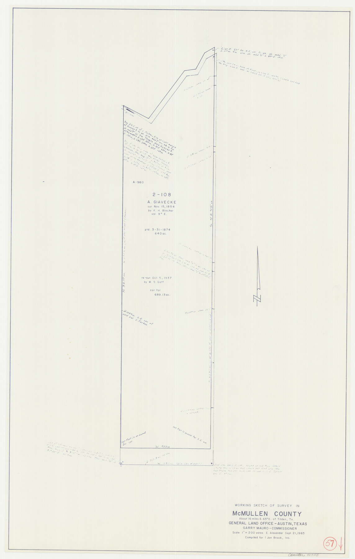
McMullen County Working Sketch 57
-
Map/Doc
70758
-
Collection
General Map Collection
-
Object Dates
9/21/1983 (Creation Date)
-
People and Organizations
Earl Alexander (Draftsman)
-
Counties
McMullen
-
Subjects
Surveying Working Sketch
-
Height x Width
29.5 x 18.8 inches
74.9 x 47.8 cm
-
Scale
1" = 200 varas
Part of: General Map Collection
Ector County Rolled Sketch 15

Print $20.00
- Digital $50.00
Ector County Rolled Sketch 15
1987
Size 47.5 x 36.6 inches
Map/Doc 8842
Reeves County Sketch File 17

Print $40.00
- Digital $50.00
Reeves County Sketch File 17
1943
Size 9.9 x 19.4 inches
Map/Doc 35208
Flight Mission No. DAG-26K, Frame 61, Matagorda County

Print $20.00
- Digital $50.00
Flight Mission No. DAG-26K, Frame 61, Matagorda County
1953
Size 18.7 x 22.6 inches
Map/Doc 86581
Zavala County Working Sketch 18

Print $20.00
- Digital $50.00
Zavala County Working Sketch 18
1977
Size 43.8 x 42.1 inches
Map/Doc 62093
Grayson County

Print $20.00
- Digital $50.00
Grayson County
1935
Size 43.3 x 39.9 inches
Map/Doc 77294
Pecos County Sketch File 82

Print $46.00
- Digital $50.00
Pecos County Sketch File 82
1944
Size 14.2 x 8.8 inches
Map/Doc 33927
Concho County Sketch File 18

Print $32.00
- Digital $50.00
Concho County Sketch File 18
1898
Size 9.1 x 4.4 inches
Map/Doc 19137
Garza County Rolled Sketch 5

Print $40.00
- Digital $50.00
Garza County Rolled Sketch 5
1906
Size 37.2 x 48.0 inches
Map/Doc 9050
Dickens County Sketch File 28

Print $23.00
- Digital $50.00
Dickens County Sketch File 28
Size 14.5 x 9.0 inches
Map/Doc 21005
Hutchinson County Sketch File 2

Print $8.00
- Digital $50.00
Hutchinson County Sketch File 2
1882
Size 14.2 x 8.7 inches
Map/Doc 27173
Shelby County Rolled Sketch 15

Print $40.00
- Digital $50.00
Shelby County Rolled Sketch 15
1948
Size 22.8 x 54.4 inches
Map/Doc 10313
Baylor County Boundary File 1

Print $25.00
- Digital $50.00
Baylor County Boundary File 1
Size 9.3 x 8.4 inches
Map/Doc 50347
You may also like
Polk County Sketch File 32

Print $8.00
- Digital $50.00
Polk County Sketch File 32
1887
Size 12.8 x 8.0 inches
Map/Doc 34226
Map of Ellis County

Print $20.00
- Digital $50.00
Map of Ellis County
1871
Size 19.2 x 27.1 inches
Map/Doc 3509
Zapata County Rolled Sketch 22

Print $20.00
- Digital $50.00
Zapata County Rolled Sketch 22
1958
Size 29.2 x 21.5 inches
Map/Doc 8317
Tarrant County Working Sketch 3

Print $20.00
- Digital $50.00
Tarrant County Working Sketch 3
1948
Size 26.3 x 24.9 inches
Map/Doc 62420
Montague County Sketch File 16

Print $20.00
- Digital $50.00
Montague County Sketch File 16
1853
Size 32.5 x 29.2 inches
Map/Doc 10546
Kimble County Working Sketch 22

Print $20.00
- Digital $50.00
Kimble County Working Sketch 22
1929
Size 25.2 x 21.1 inches
Map/Doc 70090
Loving County Rolled Sketch 5

Print $40.00
- Digital $50.00
Loving County Rolled Sketch 5
1952
Size 146.0 x 14.2 inches
Map/Doc 9467
Culberson County Sketch File WJ2

Print $20.00
- Digital $50.00
Culberson County Sketch File WJ2
Size 15.5 x 20.3 inches
Map/Doc 5788
Erath County Working Sketch 43

Print $20.00
- Digital $50.00
Erath County Working Sketch 43
1981
Size 19.6 x 15.7 inches
Map/Doc 69124
Dawson County Sketch File 27

Print $8.00
- Digital $50.00
Dawson County Sketch File 27
Size 12.6 x 8.5 inches
Map/Doc 20588
Bowie County Sketch File 5

Print $4.00
- Digital $50.00
Bowie County Sketch File 5
Size 10.1 x 7.5 inches
Map/Doc 14837
Edwards County Working Sketch 28

Print $20.00
- Digital $50.00
Edwards County Working Sketch 28
1946
Size 30.0 x 33.5 inches
Map/Doc 68904