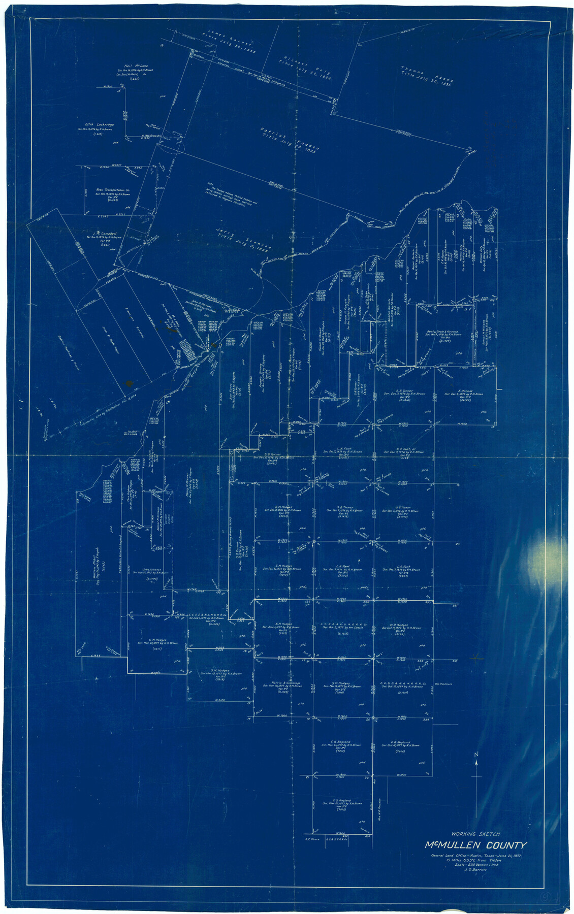
McMullen County Working Sketch 9
-
Map/Doc
70710
-
Collection
General Map Collection
-
Object Dates
6/21/1937 (Creation Date)
-
People and Organizations
J.O. Barrow (Draftsman)
-
Counties
McMullen
-
Subjects
Surveying Working Sketch
-
Height x Width
58.8 x 36.9 inches
149.4 x 93.7 cm
-
Scale
1" = 500 varas
Part of: General Map Collection
Rio Grande, Willamar Sheet

Print $20.00
- Digital $50.00
Rio Grande, Willamar Sheet
1937
Size 36.9 x 37.2 inches
Map/Doc 65111
Duval County Working Sketch 2

Print $20.00
- Digital $50.00
Duval County Working Sketch 2
1919
Size 16.4 x 15.0 inches
Map/Doc 76443
Hood County Working Sketch 7

Print $20.00
- Digital $50.00
Hood County Working Sketch 7
1970
Size 29.4 x 31.2 inches
Map/Doc 66201
Harris County Rolled Sketch 76

Print $20.00
- Digital $50.00
Harris County Rolled Sketch 76
1951
Size 37.0 x 24.0 inches
Map/Doc 6113
Flight Mission No. BRE-1P, Frame 52, Nueces County

Print $20.00
- Digital $50.00
Flight Mission No. BRE-1P, Frame 52, Nueces County
1956
Size 18.4 x 22.0 inches
Map/Doc 86641
This is a sketch of Austin town tract

Print $2.00
- Digital $50.00
This is a sketch of Austin town tract
Size 6.5 x 8.1 inches
Map/Doc 148
Flight Mission No. DIX-10P, Frame 70, Aransas County

Print $20.00
- Digital $50.00
Flight Mission No. DIX-10P, Frame 70, Aransas County
1956
Size 18.7 x 22.4 inches
Map/Doc 83931
Leon County Working Sketch 8

Print $20.00
- Digital $50.00
Leon County Working Sketch 8
1931
Size 28.9 x 42.8 inches
Map/Doc 70407
Main Line Routes of the Santa Fe Lines

Main Line Routes of the Santa Fe Lines
Size 12.1 x 18.1 inches
Map/Doc 94157
Zavala County Rolled Sketch 23

Print $20.00
- Digital $50.00
Zavala County Rolled Sketch 23
1943
Size 17.0 x 25.6 inches
Map/Doc 8326
Eastland County Sketch File 5

Print $4.00
- Digital $50.00
Eastland County Sketch File 5
Size 6.4 x 7.1 inches
Map/Doc 21570
Flight Mission No. DIX-10P, Frame 152, Aransas County

Print $20.00
- Digital $50.00
Flight Mission No. DIX-10P, Frame 152, Aransas County
1956
Size 18.6 x 22.2 inches
Map/Doc 83954
You may also like
Anderson County Working Sketch 27

Print $20.00
- Digital $50.00
Anderson County Working Sketch 27
1959
Size 20.8 x 36.0 inches
Map/Doc 67027
Reeves County Sketch File 15

Print $28.00
- Digital $50.00
Reeves County Sketch File 15
1879
Size 13.1 x 8.2 inches
Map/Doc 35194
Pressler's Map of the State of Texas

Print $40.00
Pressler's Map of the State of Texas
1858
Size 48.0 x 52.5 inches
Map/Doc 76232
Brewster County Rolled Sketch 136

Print $20.00
- Digital $50.00
Brewster County Rolled Sketch 136
Size 21.4 x 13.2 inches
Map/Doc 5304

[Sketch focusing on surveys just north of Blocks 31 and 32, Township 6N]
![92996, [Sketch focusing on surveys just north of Blocks 31 and 32, Township 6N], Twichell Survey Records](https://historictexasmaps.com/wmedia_w700/maps/92996-1.tif.jpg)
Print $20.00
- Digital $50.00
[Sketch focusing on surveys just north of Blocks 31 and 32, Township 6N]
Size 24.0 x 12.0 inches
Map/Doc 92996
Brewster County Sketch File NS-13

Print $4.00
- Digital $50.00
Brewster County Sketch File NS-13
1955
Size 11.1 x 8.8 inches
Map/Doc 16220
Hockley County Sketch, Mineral Application Number 39180

Print $3.00
- Digital $50.00
Hockley County Sketch, Mineral Application Number 39180
1947
Size 10.4 x 12.8 inches
Map/Doc 91106
Sketch of Section 3, Blk. JW, Showing Quantity East of Each Texas Section

Print $20.00
- Digital $50.00
Sketch of Section 3, Blk. JW, Showing Quantity East of Each Texas Section
Size 34.2 x 8.0 inches
Map/Doc 91985
Hudspeth County Working Sketch 16

Print $40.00
- Digital $50.00
Hudspeth County Working Sketch 16
1957
Size 21.1 x 71.2 inches
Map/Doc 66298
Colorado County Sketch File 4

Print $40.00
- Digital $50.00
Colorado County Sketch File 4
1858
Size 12.8 x 15.7 inches
Map/Doc 18917
Harris County Rolled Sketch 69

Print $40.00
- Digital $50.00
Harris County Rolled Sketch 69
Size 37.0 x 58.5 inches
Map/Doc 9131