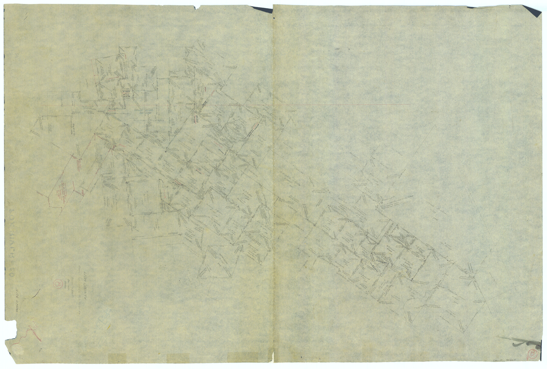
Leon County Working Sketch 8
-
Map/Doc
70407
-
Collection
General Map Collection
-
Object Dates
12/1931 (Creation Date)
-
Counties
Leon
-
Subjects
Surveying Working Sketch
-
Height x Width
28.9 x 42.8 inches
73.4 x 108.7 cm
-
Scale
1" = 500 varas
Part of: General Map Collection
Stonewall County Working Sketch 25

Print $20.00
- Digital $50.00
Stonewall County Working Sketch 25
1973
Size 29.5 x 23.4 inches
Map/Doc 62332
Rusk County Sketch File 13

Print $4.00
Rusk County Sketch File 13
Size 8.6 x 6.4 inches
Map/Doc 35514
Gregg County Rolled Sketch JB2

Print $20.00
- Digital $50.00
Gregg County Rolled Sketch JB2
1933
Size 42.0 x 35.1 inches
Map/Doc 8341
Flight Mission No. BRA-7M, Frame 133, Jefferson County

Print $20.00
- Digital $50.00
Flight Mission No. BRA-7M, Frame 133, Jefferson County
1953
Size 18.6 x 22.3 inches
Map/Doc 85527
Armstrong County

Print $20.00
- Digital $50.00
Armstrong County
1879
Size 21.6 x 19.2 inches
Map/Doc 3242
Austin County Boundary File 5

Print $6.00
- Digital $50.00
Austin County Boundary File 5
Size 14.3 x 8.5 inches
Map/Doc 50249
Matagorda Bay and Approaches

Print $20.00
- Digital $50.00
Matagorda Bay and Approaches
1948
Size 35.3 x 45.0 inches
Map/Doc 73380
Crane County Sketch File 18

Print $20.00
- Digital $50.00
Crane County Sketch File 18
1927
Size 15.1 x 18.4 inches
Map/Doc 11210
Kimble County Sketch File 16

Print $30.00
- Digital $50.00
Kimble County Sketch File 16
1886
Size 8.5 x 7.9 inches
Map/Doc 28942
Carson County

Print $20.00
- Digital $50.00
Carson County
1932
Size 43.4 x 38.8 inches
Map/Doc 95449
Orange County Sketch File 26

Print $20.00
- Digital $50.00
Orange County Sketch File 26
Size 38.5 x 29.3 inches
Map/Doc 10564
Flight Mission No. DQN-1K, Frame 117, Calhoun County

Print $20.00
- Digital $50.00
Flight Mission No. DQN-1K, Frame 117, Calhoun County
1953
Size 18.5 x 22.2 inches
Map/Doc 84183
You may also like
Hardeman County

Print $20.00
- Digital $50.00
Hardeman County
1935
Size 46.0 x 42.7 inches
Map/Doc 95520

Crockett County Working Sketch 62

Print $40.00
- Digital $50.00
Crockett County Working Sketch 62
1956
Size 121.8 x 37.1 inches
Map/Doc 68395
Mason County Working Sketch 17

Print $20.00
- Digital $50.00
Mason County Working Sketch 17
1983
Size 24.3 x 41.1 inches
Map/Doc 70853
Political Essay on the Kingdom of New Spain Vol. 4

Political Essay on the Kingdom of New Spain Vol. 4
1822
Map/Doc 97389
Sutton County Sketch File 44

Print $6.00
- Digital $50.00
Sutton County Sketch File 44
1939
Size 11.3 x 8.7 inches
Map/Doc 37512
Pecos County Rolled Sketch 25B

Print $20.00
- Digital $50.00
Pecos County Rolled Sketch 25B
1892
Size 22.2 x 16.0 inches
Map/Doc 7210
Crane County Sketch File 27

Print $6.00
- Digital $50.00
Crane County Sketch File 27
Size 11.5 x 9.3 inches
Map/Doc 19603
Eastland County Working Sketch 62

Print $20.00
- Digital $50.00
Eastland County Working Sketch 62
1989
Size 20.7 x 28.0 inches
Map/Doc 68843
Flight Mission No. CRE-2R, Frame 83, Jackson County

Print $20.00
- Digital $50.00
Flight Mission No. CRE-2R, Frame 83, Jackson County
1956
Size 18.6 x 22.3 inches
Map/Doc 85355
Wharton County

Print $40.00
- Digital $50.00
Wharton County
1946
Size 43.4 x 49.0 inches
Map/Doc 63119
Flight Mission No. CRC-2R, Frame 195, Chambers County

Print $20.00
- Digital $50.00
Flight Mission No. CRC-2R, Frame 195, Chambers County
1956
Size 18.6 x 22.3 inches
Map/Doc 84773