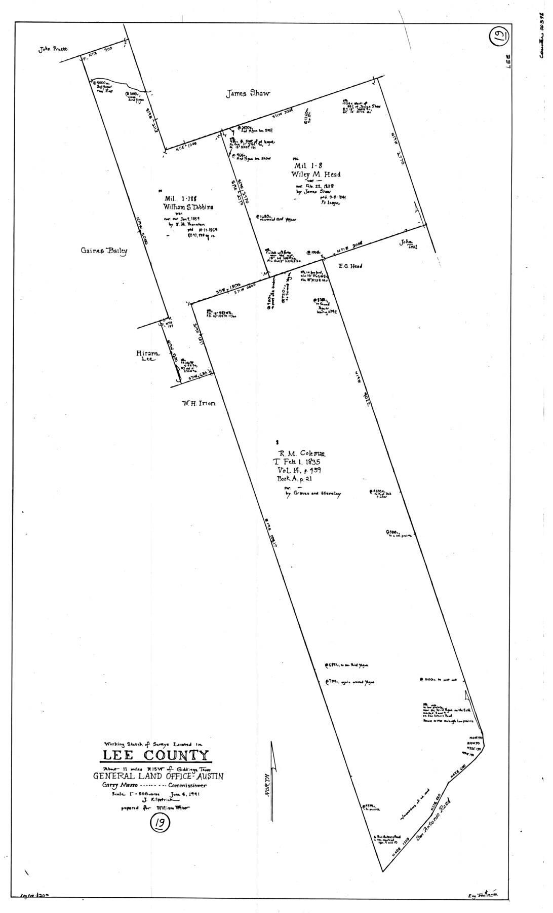
Lee County Working Sketch 19
-
Map/Doc
70398
-
Collection
General Map Collection
-
Object Dates
6/5/1991 (Creation Date)
-
People and Organizations
Joan Kilpatrick (Draftsman)
-
Counties
Lee
-
Subjects
Surveying Working Sketch
-
Height x Width
33.1 x 20.1 inches
84.1 x 51.1 cm
-
Scale
1" = 500 varas
Part of: General Map Collection
Etats-Unis de l'Amérique Septentrionale avec les Isles Royale, de Terre Neuve de St. Jean, L'Acadie &c.

Print $20.00
- Digital $50.00
Etats-Unis de l'Amérique Septentrionale avec les Isles Royale, de Terre Neuve de St. Jean, L'Acadie &c.
1785
Size 20.9 x 28.2 inches
Map/Doc 93679
Leon County Sketch File 5

Print $4.00
- Digital $50.00
Leon County Sketch File 5
Size 8.0 x 7.8 inches
Map/Doc 29715
Val Verde County Sketch File 27

Print $40.00
- Digital $50.00
Val Verde County Sketch File 27
Size 8.7 x 19.4 inches
Map/Doc 39234
Hudspeth County Working Sketch 21

Print $20.00
- Digital $50.00
Hudspeth County Working Sketch 21
1966
Size 22.8 x 41.6 inches
Map/Doc 66303
Flight Mission No. DIX-5P, Frame 114, Aransas County

Print $20.00
- Digital $50.00
Flight Mission No. DIX-5P, Frame 114, Aransas County
1956
Size 17.4 x 17.6 inches
Map/Doc 83793
Intracoastal Waterway - Laguna Madre - Rincon de San Jose to Chubby Island, Texas

Print $20.00
- Digital $50.00
Intracoastal Waterway - Laguna Madre - Rincon de San Jose to Chubby Island, Texas
1975
Size 15.6 x 37.0 inches
Map/Doc 73517
Atascosa County Sketch File 2a

Print $40.00
- Digital $50.00
Atascosa County Sketch File 2a
Size 25.1 x 15.3 inches
Map/Doc 10858
Galveston Harbor and Channel, Texas - Rehabilitation of Galveston Groins - Location Plan of Rehabilitation

Print $4.00
- Digital $50.00
Galveston Harbor and Channel, Texas - Rehabilitation of Galveston Groins - Location Plan of Rehabilitation
1968
Size 19.7 x 21.5 inches
Map/Doc 73627
Crane County Sketch File 12

Print $6.00
- Digital $50.00
Crane County Sketch File 12
1901
Size 16.4 x 8.6 inches
Map/Doc 19571
Montague County Working Sketch 8

Print $20.00
- Digital $50.00
Montague County Working Sketch 8
1928
Size 20.9 x 18.9 inches
Map/Doc 71074
North Part Brewster Co.

Print $40.00
- Digital $50.00
North Part Brewster Co.
1914
Size 40.6 x 49.2 inches
Map/Doc 66729
Flight Mission No. BRE-1P, Frame 69, Nueces County

Print $20.00
- Digital $50.00
Flight Mission No. BRE-1P, Frame 69, Nueces County
1956
Size 18.3 x 22.1 inches
Map/Doc 86651
You may also like
Pecos County Rolled Sketch 146

Print $20.00
- Digital $50.00
Pecos County Rolled Sketch 146
Size 40.8 x 32.5 inches
Map/Doc 9734
The Peters Colony. July 26, 1842

Print $20.00
The Peters Colony. July 26, 1842
2020
Size 21.7 x 21.7 inches
Map/Doc 96364
Armstrong County Sketch File A-9

Print $40.00
- Digital $50.00
Armstrong County Sketch File A-9
1920
Size 13.7 x 35.4 inches
Map/Doc 10851
La Salle County Working Sketch 40

Print $20.00
- Digital $50.00
La Salle County Working Sketch 40
1968
Size 23.0 x 19.2 inches
Map/Doc 70341
Howard County Boundary File 3a

Print $62.00
- Digital $50.00
Howard County Boundary File 3a
Size 3.9 x 8.7 inches
Map/Doc 55155
Red River County Sketch File 8

Print $22.00
- Digital $50.00
Red River County Sketch File 8
Size 14.7 x 16.8 inches
Map/Doc 35112
Oldham County Sketch File 3

Print $12.00
- Digital $50.00
Oldham County Sketch File 3
1883
Size 8.2 x 7.8 inches
Map/Doc 33228
Wichita County Rolled Sketch 20

Print $45.00
- Digital $50.00
Wichita County Rolled Sketch 20
Size 11.0 x 14.5 inches
Map/Doc 49546
General Highway Map, Gaines County, Texas

Print $20.00
General Highway Map, Gaines County, Texas
1961
Size 24.6 x 18.1 inches
Map/Doc 79474
Reeves County Working Sketch 2

Print $20.00
- Digital $50.00
Reeves County Working Sketch 2
1903
Size 22.6 x 42.4 inches
Map/Doc 63444
Map of the State of Texas Showing Original Land Districts

Print $20.00
- Digital $50.00
Map of the State of Texas Showing Original Land Districts
1891
Size 45.6 x 43.0 inches
Map/Doc 1995
Plat of All Surveys on the Lavaca Not Heretofor Returned

Print $2.00
- Digital $50.00
Plat of All Surveys on the Lavaca Not Heretofor Returned
1841
Size 12.5 x 7.8 inches
Map/Doc 78361