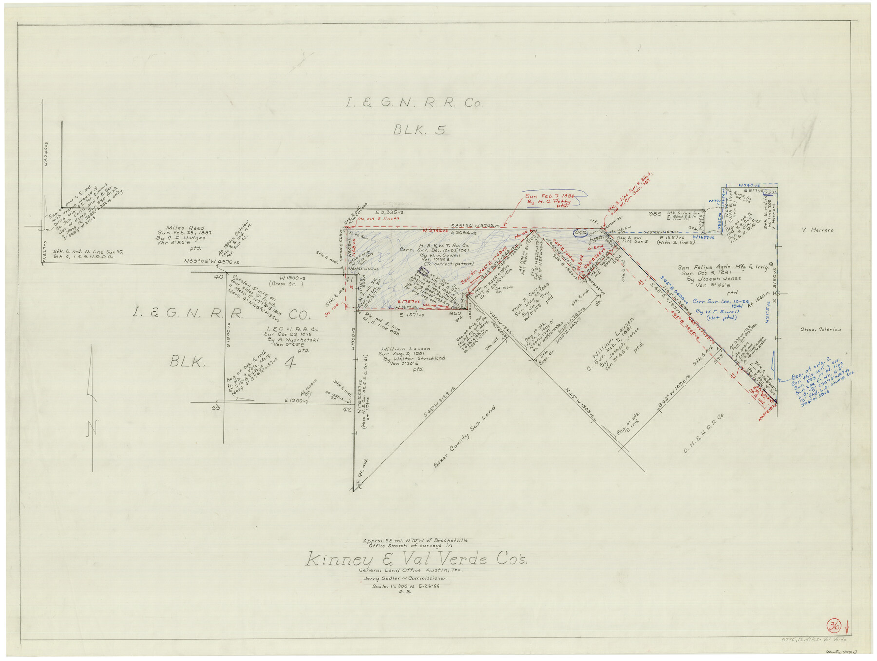
Kinney County Working Sketch 36
-
Map/Doc
70218
-
Collection
General Map Collection
-
Object Dates
5/26/1966 (Creation Date)
-
People and Organizations
Roy Buckholts (Draftsman)
-
Counties
Kinney Val Verde
-
Subjects
Surveying Working Sketch
-
Height x Width
31.7 x 42.0 inches
80.5 x 106.7 cm
-
Scale
1" = 300 varas
Part of: General Map Collection
[Surveys East of river copied from U.S. map of Township No. 6 South, Range No. 9 West of the Indian Meridian, Oklahoma]
![75185, [Surveys East of river copied from U.S. map of Township No. 6 South, Range No. 9 West of the Indian Meridian, Oklahoma], General Map Collection](https://historictexasmaps.com/wmedia_w700/maps/75185.tif.jpg)
Print $2.00
- Digital $50.00
[Surveys East of river copied from U.S. map of Township No. 6 South, Range No. 9 West of the Indian Meridian, Oklahoma]
Size 13.3 x 9.0 inches
Map/Doc 75185
Flight Mission No. CRK-7P, Frame 81, Refugio County

Print $20.00
- Digital $50.00
Flight Mission No. CRK-7P, Frame 81, Refugio County
1956
Size 18.4 x 22.1 inches
Map/Doc 86952
Fort Bend County Sketch File 36

Print $6.00
- Digital $50.00
Fort Bend County Sketch File 36
1997
Size 11.4 x 8.9 inches
Map/Doc 23007
Webb County Sketch File 4-1

Print $6.00
- Digital $50.00
Webb County Sketch File 4-1
1874
Size 10.3 x 8.2 inches
Map/Doc 39722
Matagorda County Working Sketch 11

Print $20.00
- Digital $50.00
Matagorda County Working Sketch 11
1957
Size 34.6 x 43.6 inches
Map/Doc 70869
Austin County Rolled Sketch 4

Print $20.00
- Digital $50.00
Austin County Rolled Sketch 4
Size 30.8 x 44.8 inches
Map/Doc 8435
West Part of Liberty Co.

Print $20.00
- Digital $50.00
West Part of Liberty Co.
1977
Size 43.5 x 32.9 inches
Map/Doc 77353
Flight Mission No. BQR-16K, Frame 35, Brazoria County

Print $20.00
- Digital $50.00
Flight Mission No. BQR-16K, Frame 35, Brazoria County
1952
Size 18.5 x 22.2 inches
Map/Doc 84102
Webb County Rolled Sketch 50

Print $20.00
- Digital $50.00
Webb County Rolled Sketch 50
1943
Size 38.2 x 42.6 inches
Map/Doc 10125
Trinity River, Ferris Sheet/Ten Mile Creek

Print $4.00
- Digital $50.00
Trinity River, Ferris Sheet/Ten Mile Creek
1935
Size 20.1 x 25.1 inches
Map/Doc 65242
Map of the Fort Worth and Denver City Railway, through Wilbarger County Texas, 1882

Print $40.00
- Digital $50.00
Map of the Fort Worth and Denver City Railway, through Wilbarger County Texas, 1882
Size 22.6 x 79.4 inches
Map/Doc 64427
Flight Mission No. BRA-6M, Frame 150, Jefferson County

Print $20.00
- Digital $50.00
Flight Mission No. BRA-6M, Frame 150, Jefferson County
1953
Size 18.5 x 22.4 inches
Map/Doc 85451
You may also like
Kendall County Working Sketch 9

Print $40.00
- Digital $50.00
Kendall County Working Sketch 9
1953
Size 52.8 x 37.2 inches
Map/Doc 66681
Hardin County Sketch File 26

Print $7.00
- Digital $50.00
Hardin County Sketch File 26
Size 10.3 x 8.0 inches
Map/Doc 25148

[North line of T. C. RR. Blk on North County Line]
![90516, [North line of T. C. RR. Blk on North County Line], Twichell Survey Records](https://historictexasmaps.com/wmedia_w700/maps/90516-1.tif.jpg)
Print $2.00
- Digital $50.00
[North line of T. C. RR. Blk on North County Line]
Size 13.7 x 5.1 inches
Map/Doc 90516

[Sketch of the Robertson League on the Brazos River showing a conflict with T.J. Chambers]
![3178, [Sketch of the Robertson League on the Brazos River showing a conflict with T.J. Chambers], General Map Collection](https://historictexasmaps.com/wmedia_w700/maps/3178.tif.jpg)
Print $2.00
- Digital $50.00
[Sketch of the Robertson League on the Brazos River showing a conflict with T.J. Chambers]
1841
Size 7.6 x 12.6 inches
Map/Doc 3178
Crockett County Working Sketch 24

Print $20.00
- Digital $50.00
Crockett County Working Sketch 24
1920
Size 43.0 x 17.7 inches
Map/Doc 68357
The Republic County of Colorado. January 1, 1838

Print $20.00
The Republic County of Colorado. January 1, 1838
2020
Size 18.4 x 21.7 inches
Map/Doc 96120

Erath County Working Sketch 52

Print $20.00
- Digital $50.00
Erath County Working Sketch 52
1992
Size 33.9 x 33.6 inches
Map/Doc 69134
Henderson County Working Sketch 31

Print $20.00
- Digital $50.00
Henderson County Working Sketch 31
1962
Size 38.7 x 39.6 inches
Map/Doc 66164
General Highway Map, Polk County, Texas

Print $20.00
General Highway Map, Polk County, Texas
1961
Size 18.1 x 24.5 inches
Map/Doc 79630