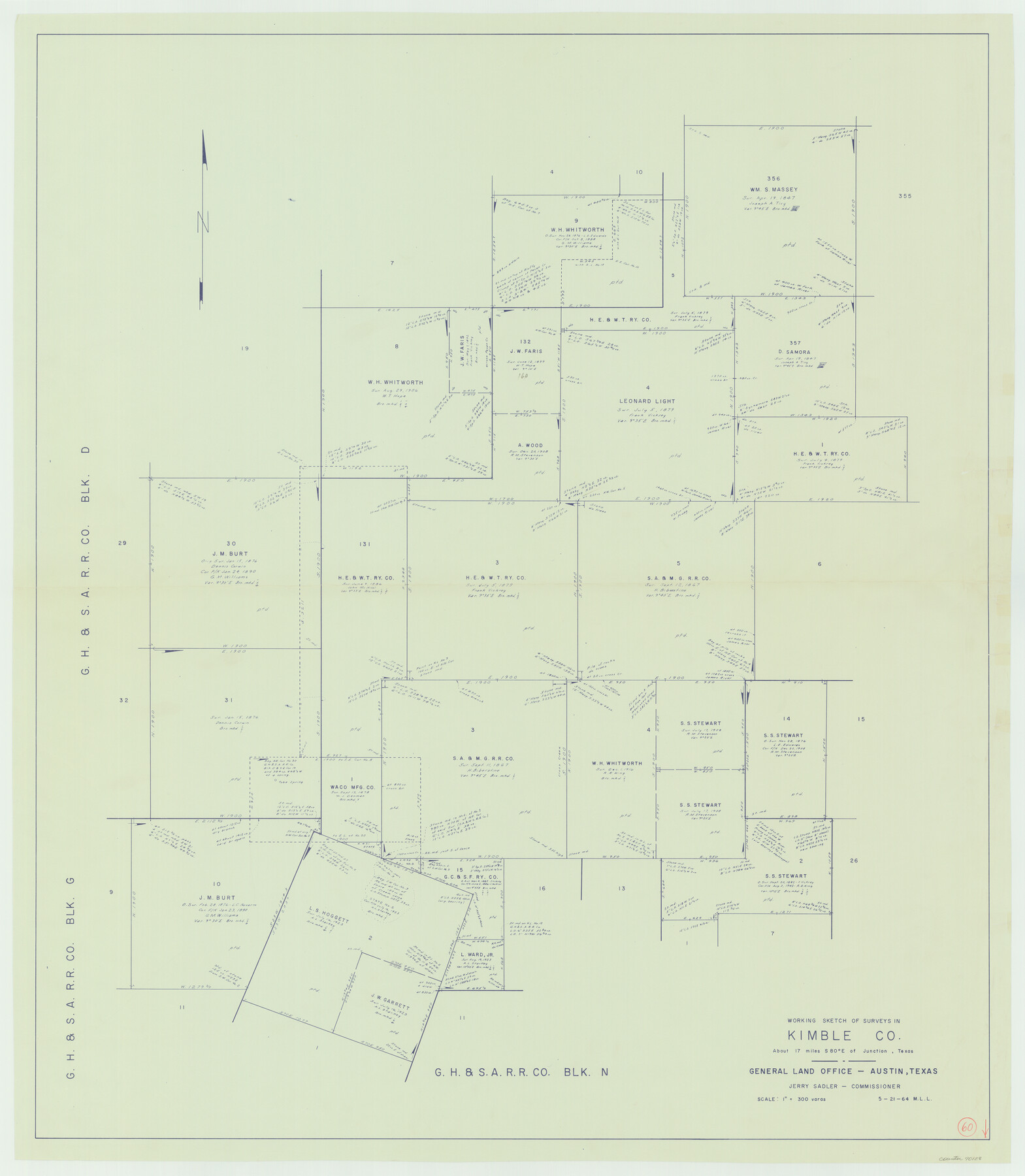
Kimble County Working Sketch 60
-
Map/Doc
70128
-
Collection
General Map Collection
-
Object Dates
5/21/1964 (Creation Date)
-
People and Organizations
M. L. Liles (Draftsman)
-
Counties
Kimble
-
Subjects
Surveying Working Sketch
-
Height x Width
43.8 x 38.2 inches
111.3 x 97.0 cm
-
Scale
1" = 300 varas
Part of: General Map Collection
Foard County Sketch File 1

Print $6.00
- Digital $50.00
Foard County Sketch File 1
Size 10.0 x 9.5 inches
Map/Doc 22804

Brazos River, Brazos River Sheet 6

Print $4.00
- Digital $50.00
Brazos River, Brazos River Sheet 6
1926
Size 29.0 x 24.3 inches
Map/Doc 65299
Flight Mission No. DQO-2K, Frame 148, Galveston County

Print $20.00
- Digital $50.00
Flight Mission No. DQO-2K, Frame 148, Galveston County
1952
Size 18.8 x 22.5 inches
Map/Doc 85045
Galveston County Rolled Sketch 18

Print $20.00
- Digital $50.00
Galveston County Rolled Sketch 18
1959
Size 27.9 x 35.8 inches
Map/Doc 5955
Carson County Sketch File 8

Print $6.00
- Digital $50.00
Carson County Sketch File 8
1931
Size 11.2 x 8.6 inches
Map/Doc 17389
Marion County Working Sketch 38

Print $20.00
- Digital $50.00
Marion County Working Sketch 38
1991
Size 35.5 x 39.9 inches
Map/Doc 70814
Orange County Working Sketch 37

Print $40.00
- Digital $50.00
Orange County Working Sketch 37
1962
Size 37.7 x 54.0 inches
Map/Doc 71369
[Surveys along the Red River, Bois d'Arc Creek, Duck Creek, and Choctaw Bayou made under G.W. Smyth, Commissioner]
![74, [Surveys along the Red River, Bois d'Arc Creek, Duck Creek, and Choctaw Bayou made under G.W. Smyth, Commissioner], General Map Collection](https://historictexasmaps.com/wmedia_w700/maps/74.tif.jpg)
Print $20.00
- Digital $50.00
[Surveys along the Red River, Bois d'Arc Creek, Duck Creek, and Choctaw Bayou made under G.W. Smyth, Commissioner]
1834
Size 19.7 x 16.0 inches
Map/Doc 74
Kinney County Working Sketch 24

Print $20.00
- Digital $50.00
Kinney County Working Sketch 24
1950
Size 41.7 x 35.9 inches
Map/Doc 70206
Map of Bexar County

Print $40.00
- Digital $50.00
Map of Bexar County
1845
Size 49.0 x 46.5 inches
Map/Doc 87236
Ellis County Sketch File 13

Print $40.00
- Digital $50.00
Ellis County Sketch File 13
1860
Size 12.6 x 16.0 inches
Map/Doc 21852
You may also like
Map of the State University & Public School Lands in Reeves and El Paso Cos.

Print $40.00
- Digital $50.00
Map of the State University & Public School Lands in Reeves and El Paso Cos.
1884
Size 39.1 x 56.3 inches
Map/Doc 2434
Navigation Maps of Gulf Intracoastal Waterway, Port Arthur to Brownsville, Texas

Print $4.00
- Digital $50.00
Navigation Maps of Gulf Intracoastal Waterway, Port Arthur to Brownsville, Texas
1951
Size 16.8 x 21.5 inches
Map/Doc 65437
Flight Mission No. BRA-3M, Frame 126, Jefferson County

Print $20.00
- Digital $50.00
Flight Mission No. BRA-3M, Frame 126, Jefferson County
1953
Size 18.7 x 21.8 inches
Map/Doc 85400
From Citizens of Montgomery County to Redefine the Boundary Between Harris and Montgomery Counties, May 8, 1838

Print $20.00
From Citizens of Montgomery County to Redefine the Boundary Between Harris and Montgomery Counties, May 8, 1838
2020
Size 15.4 x 21.7 inches
Map/Doc 96382
Glasscock County Working Sketch 15

Print $40.00
- Digital $50.00
Glasscock County Working Sketch 15
1984
Size 65.6 x 42.1 inches
Map/Doc 63188
Reeves County Sketch File 14

Print $4.00
- Digital $50.00
Reeves County Sketch File 14
1872
Size 8.0 x 12.7 inches
Map/Doc 35192
Brazoria County NRC Article 33.136 Sketch 10

Print $23.00
- Digital $50.00
Brazoria County NRC Article 33.136 Sketch 10
2007
Size 25.7 x 35.7 inches
Map/Doc 87933
Flight Mission No. CLL-1N, Frame 86, Willacy County

Print $20.00
- Digital $50.00
Flight Mission No. CLL-1N, Frame 86, Willacy County
1954
Size 18.4 x 22.1 inches
Map/Doc 87032
Map of Surveys 6, 7, & 8, Block 1, D.B. Gardner 7 1/2, Block L, D.B. Gardner 7, Block T, J.P. Goen

Print $20.00
- Digital $50.00
Map of Surveys 6, 7, & 8, Block 1, D.B. Gardner 7 1/2, Block L, D.B. Gardner 7, Block T, J.P. Goen
1917
Size 11.0 x 22.6 inches
Map/Doc 10762
General Highway Map, Franklin County, Texas

Print $20.00
General Highway Map, Franklin County, Texas
1961
Size 18.1 x 24.5 inches
Map/Doc 79471
Flight Mission No. DIX-5P, Frame 149, Aransas County

Print $20.00
- Digital $50.00
Flight Mission No. DIX-5P, Frame 149, Aransas County
1956
Size 17.8 x 17.8 inches
Map/Doc 83811
Castro County Sketch File 4l

Print $4.00
- Digital $50.00
Castro County Sketch File 4l
Size 13.5 x 8.6 inches
Map/Doc 17487