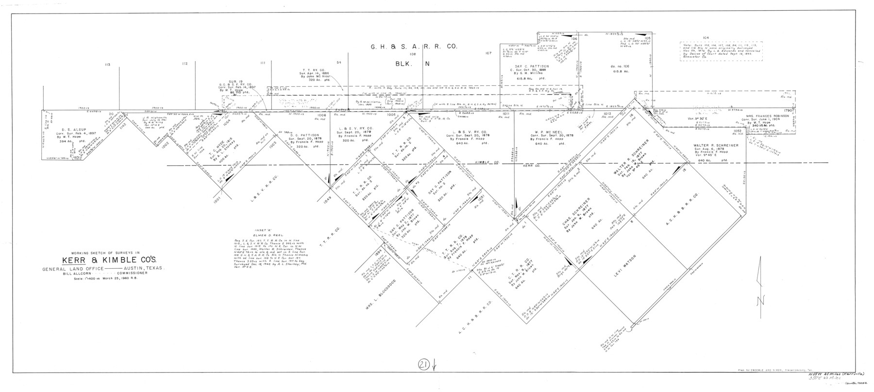
Kerr County Working Sketch 21
-
Map/Doc
70052
-
Collection
General Map Collection
-
Object Dates
3/25/1960 (Creation Date)
-
People and Organizations
Roy Buckholts (Draftsman)
-
Counties
Kerr Kimble
-
Subjects
Surveying Working Sketch
-
Height x Width
24.4 x 54.5 inches
62.0 x 138.4 cm
-
Scale
1" = 400 varas
Part of: General Map Collection
Crosby County Sketch File 20

Print $20.00
- Digital $50.00
Crosby County Sketch File 20
Size 25.9 x 18.3 inches
Map/Doc 11252
Presidio County Rolled Sketch S2

Print $20.00
- Digital $50.00
Presidio County Rolled Sketch S2
1916
Size 14.2 x 12.0 inches
Map/Doc 7415
Hutchinson County Rolled Sketch 19

Print $20.00
- Digital $50.00
Hutchinson County Rolled Sketch 19
Size 21.3 x 25.0 inches
Map/Doc 6285
Potter County Rolled Sketch 10

Print $20.00
- Digital $50.00
Potter County Rolled Sketch 10
1963
Size 31.8 x 43.3 inches
Map/Doc 7323
Coke County Rolled Sketch 7

Print $20.00
- Digital $50.00
Coke County Rolled Sketch 7
Size 19.0 x 24.1 inches
Map/Doc 5506
El Paso County Rolled Sketch 48

Print $20.00
- Digital $50.00
El Paso County Rolled Sketch 48
1960
Size 15.4 x 18.3 inches
Map/Doc 5834
Culberson County Sketch File 43

Print $4.00
- Digital $50.00
Culberson County Sketch File 43
1931
Size 8.9 x 11.1 inches
Map/Doc 20329
Lamar County Working Sketch 11

Print $4.00
- Digital $50.00
Lamar County Working Sketch 11
1980
Size 19.8 x 16.9 inches
Map/Doc 70272
Dallas County Boundary File 8 and 8a

Print $4.00
- Digital $50.00
Dallas County Boundary File 8 and 8a
Size 11.2 x 8.7 inches
Map/Doc 52311
La Salle County Rolled Sketch 7

Print $40.00
- Digital $50.00
La Salle County Rolled Sketch 7
Size 38.7 x 48.0 inches
Map/Doc 10652
Roberts County Sketch File 10

Print $32.00
- Digital $50.00
Roberts County Sketch File 10
2016
Size 11.0 x 8.5 inches
Map/Doc 94070
Montgomery County Working Sketch 74

Print $20.00
- Digital $50.00
Montgomery County Working Sketch 74
1981
Size 37.6 x 45.6 inches
Map/Doc 71181
You may also like
Terrell County

Print $20.00
- Digital $50.00
Terrell County
1905
Size 40.5 x 32.3 inches
Map/Doc 4075

Map of Collingsworth County

Print $20.00
- Digital $50.00
Map of Collingsworth County
1899
Size 41.1 x 38.6 inches
Map/Doc 4738
Uvalde County Working Sketch 12

Print $20.00
- Digital $50.00
Uvalde County Working Sketch 12
1943
Size 28.5 x 27.4 inches
Map/Doc 72082
Jefferson County Sketch File 11

Print $6.00
- Digital $50.00
Jefferson County Sketch File 11
1862
Size 8.0 x 6.4 inches
Map/Doc 28132
Tabular exhibit of the land occupied by the roadbed of the Galveston, Harrisburg and San Antonio Railway in El Paso County, Texas

Print $20.00
- Digital $50.00
Tabular exhibit of the land occupied by the roadbed of the Galveston, Harrisburg and San Antonio Railway in El Paso County, Texas
Size 12.7 x 8.2 inches
Map/Doc 64499
Brazoria County Aerial Photograph Index Sheet 5

Print $20.00
- Digital $50.00
Brazoria County Aerial Photograph Index Sheet 5
1953
Size 24.0 x 19.5 inches
Map/Doc 83667
General Highway Map. Detail of Cities and Towns in Walker County, Texas [Huntsville and vicinity]
![79699, General Highway Map. Detail of Cities and Towns in Walker County, Texas [Huntsville and vicinity], Texas State Library and Archives](https://historictexasmaps.com/wmedia_w700/maps/79699.tif.jpg)
Print $20.00
General Highway Map. Detail of Cities and Towns in Walker County, Texas [Huntsville and vicinity]
1961
Size 18.1 x 24.8 inches
Map/Doc 79699
Flight Mission No. BRA-7M, Frame 203, Jefferson County

Print $20.00
- Digital $50.00
Flight Mission No. BRA-7M, Frame 203, Jefferson County
1953
Size 18.6 x 22.3 inches
Map/Doc 85571
Stephens County Sketch File 5

Print $6.00
- Digital $50.00
Stephens County Sketch File 5
Size 10.0 x 13.3 inches
Map/Doc 37019
Brazoria County Sketch File 4

Print $4.00
- Digital $50.00
Brazoria County Sketch File 4
1861
Size 7.9 x 9.5 inches
Map/Doc 14927
[E. L. & R. R. Block 10]
![91353, [E. L. & R. R. Block 10], Twichell Survey Records](https://historictexasmaps.com/wmedia_w700/maps/91353-1.tif.jpg)
Print $20.00
- Digital $50.00
[E. L. & R. R. Block 10]
Size 25.3 x 16.5 inches
Map/Doc 91353