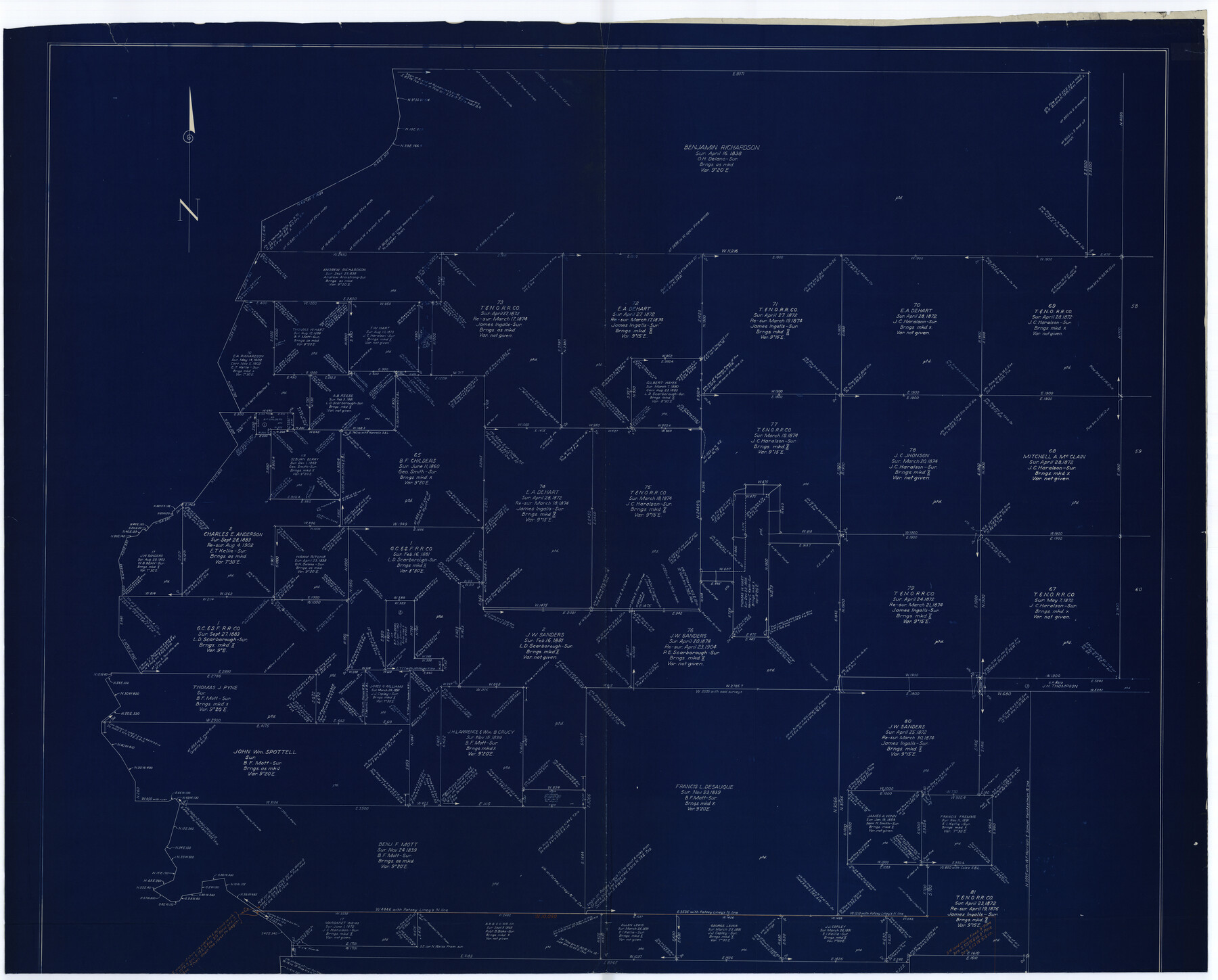
Jasper County Working Sketch 24
-
Map/Doc
69651
-
Collection
General Map Collection
-
Object Dates
2/27/1948 (Creation Date)
-
Counties
Jasper Orange
-
Subjects
Surveying Working Sketch
-
Height x Width
44.2 x 54.9 inches
112.3 x 139.5 cm
-
Scale
1" = 300 varas
-
Comments
North half of sketch. For south half, see 66486.
Related maps
Jasper County Working Sketch 24

Print $40.00
- Digital $50.00
Jasper County Working Sketch 24
1948
Size 46.9 x 56.2 inches
Map/Doc 66486
Part of: General Map Collection
Cameron County Rolled Sketch 25

Print $20.00
- Digital $50.00
Cameron County Rolled Sketch 25
1977
Size 24.7 x 36.7 inches
Map/Doc 5795
Hudspeth County Working Sketch 19

Print $20.00
- Digital $50.00
Hudspeth County Working Sketch 19
1959
Size 21.5 x 24.3 inches
Map/Doc 66301
Webb County Sketch File 13a

Print $20.00
- Digital $50.00
Webb County Sketch File 13a
1881
Size 19.0 x 25.7 inches
Map/Doc 12631
Map of the Fort Worth and Denver City Railway, through Wilbarger County Texas, 1882

Print $40.00
- Digital $50.00
Map of the Fort Worth and Denver City Railway, through Wilbarger County Texas, 1882
Size 22.9 x 121.1 inches
Map/Doc 64426
Sabine County Working Sketch 6

Print $20.00
- Digital $50.00
Sabine County Working Sketch 6
1918
Size 17.5 x 17.6 inches
Map/Doc 63677
Upton County Working Sketch 17

Print $20.00
- Digital $50.00
Upton County Working Sketch 17
1941
Size 36.1 x 22.1 inches
Map/Doc 69513
Current Miscellaneous File 22

Print $12.00
- Digital $50.00
Current Miscellaneous File 22
1952
Size 14.2 x 8.8 inches
Map/Doc 73876
Panola County Working Sketch 25

Print $20.00
- Digital $50.00
Panola County Working Sketch 25
1957
Map/Doc 71434
San Patricio County Working Sketch 22

Print $20.00
- Digital $50.00
San Patricio County Working Sketch 22
1981
Size 30.0 x 24.1 inches
Map/Doc 63784
Flight Mission No. CLL-1N, Frame 112, Willacy County

Print $20.00
- Digital $50.00
Flight Mission No. CLL-1N, Frame 112, Willacy County
1954
Size 18.4 x 20.1 inches
Map/Doc 87046
Dickens County Rolled Sketch H

Print $20.00
- Digital $50.00
Dickens County Rolled Sketch H
1902
Size 26.4 x 19.1 inches
Map/Doc 5712
Pecos County Working Sketch 118

Print $20.00
- Digital $50.00
Pecos County Working Sketch 118
1973
Size 46.2 x 36.9 inches
Map/Doc 71591
You may also like
Flight Mission No. CUG-3P, Frame 42, Kleberg County

Print $20.00
- Digital $50.00
Flight Mission No. CUG-3P, Frame 42, Kleberg County
1956
Size 18.5 x 22.1 inches
Map/Doc 86247
Clay County Sketch File 31

Print $4.00
- Digital $50.00
Clay County Sketch File 31
Size 10.2 x 8.0 inches
Map/Doc 18456
Collin County Boundary File 4 and 4a

Print $160.00
- Digital $50.00
Collin County Boundary File 4 and 4a
Size 11.9 x 8.5 inches
Map/Doc 51691
Travis County Appraisal District Plat Map 2_2915

Print $20.00
- Digital $50.00
Travis County Appraisal District Plat Map 2_2915
Size 21.5 x 26.4 inches
Map/Doc 94219
Oldham County

Print $40.00
- Digital $50.00
Oldham County
1925
Size 43.6 x 53.5 inches
Map/Doc 66960
Map of Wise County

Print $20.00
- Digital $50.00
Map of Wise County
1895
Size 41.7 x 37.5 inches
Map/Doc 63133
Hamilton Dam, Reservoir Clearing

Print $4.00
- Digital $50.00
Hamilton Dam, Reservoir Clearing
1936
Size 10.5 x 28.9 inches
Map/Doc 2096
Wilson County Working Sketch Graphic Index

Print $20.00
- Digital $50.00
Wilson County Working Sketch Graphic Index
1921
Size 39.5 x 47.7 inches
Map/Doc 76743
Nueces County NRC Article 33.136 Location Key Sheet

Print $20.00
- Digital $50.00
Nueces County NRC Article 33.136 Location Key Sheet
1975
Size 27.0 x 23.0 inches
Map/Doc 88586
Young County Rolled Sketch 11

Print $20.00
- Digital $50.00
Young County Rolled Sketch 11
Size 14.9 x 23.1 inches
Map/Doc 8299
Dickens County Sketch File 3

Print $6.00
- Digital $50.00
Dickens County Sketch File 3
1880
Size 6.9 x 6.4 inches
Map/Doc 20959
Fannin County Sketch File 25

Print $4.00
- Digital $50.00
Fannin County Sketch File 25
1847
Size 8.5 x 10.9 inches
Map/Doc 22493