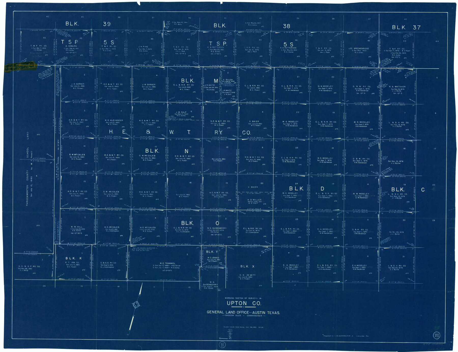
Upton County Working Sketch 22
-
Map/Doc
69518
-
Collection
General Map Collection
-
Object Dates
10/29/1951 (Creation Date)
-
People and Organizations
Otto G. Kurio (Draftsman)
-
Counties
Upton
-
Subjects
Surveying Working Sketch
-
Height x Width
37.5 x 48.7 inches
95.3 x 123.7 cm
-
Scale
1" = 500 varas
Part of: General Map Collection
Gonzales County Working Sketch 14

Print $20.00
- Digital $50.00
Gonzales County Working Sketch 14
1981
Size 18.3 x 20.9 inches
Map/Doc 63230
Flight Mission No. BRE-1P, Frame 80, Nueces County

Print $20.00
- Digital $50.00
Flight Mission No. BRE-1P, Frame 80, Nueces County
1956
Size 18.4 x 22.3 inches
Map/Doc 86662
Harris County Working Sketch 94

Print $20.00
- Digital $50.00
Harris County Working Sketch 94
1978
Size 20.9 x 40.2 inches
Map/Doc 65986
Flight Mission No. DAH-17M, Frame 28, Orange County

Print $20.00
- Digital $50.00
Flight Mission No. DAH-17M, Frame 28, Orange County
1953
Size 18.5 x 22.3 inches
Map/Doc 86891
Galveston County NRC Article 33.136 Location Key Sheet

Print $20.00
- Digital $50.00
Galveston County NRC Article 33.136 Location Key Sheet
1995
Size 27.0 x 22.0 inches
Map/Doc 83001
Throckmorton County Rolled Sketch 4

Print $20.00
- Digital $50.00
Throckmorton County Rolled Sketch 4
1993
Size 23.0 x 35.0 inches
Map/Doc 7990
Travis County Rolled Sketch 21

Print $20.00
- Digital $50.00
Travis County Rolled Sketch 21
1941
Size 16.2 x 14.7 inches
Map/Doc 8022
Trinity County Working Sketch 13

Print $20.00
- Digital $50.00
Trinity County Working Sketch 13
1956
Size 18.2 x 24.7 inches
Map/Doc 69462
Somervell County Sketch File 1

Print $4.00
- Digital $50.00
Somervell County Sketch File 1
1859
Size 12.8 x 8.1 inches
Map/Doc 36795
Smith County Sketch File 1

Print $4.00
- Digital $50.00
Smith County Sketch File 1
Size 9.0 x 10.5 inches
Map/Doc 36746
Colorado County Sketch File 25

Print $8.00
- Digital $50.00
Colorado County Sketch File 25
1919
Size 11.5 x 8.8 inches
Map/Doc 18963
Hunt County Sketch File 40

Print $4.00
- Digital $50.00
Hunt County Sketch File 40
Size 7.6 x 8.0 inches
Map/Doc 27163
You may also like
Presidio County Sketch File B

Print $20.00
- Digital $50.00
Presidio County Sketch File B
Size 25.2 x 21.3 inches
Map/Doc 11701
Pecos County Sketch

Print $20.00
- Digital $50.00
Pecos County Sketch
Size 34.2 x 23.5 inches
Map/Doc 91642
Colorado River, Glen Flora Sheet

Print $6.00
- Digital $50.00
Colorado River, Glen Flora Sheet
1941
Size 24.5 x 32.6 inches
Map/Doc 65310
Tyler County Working Sketch 22

Print $20.00
- Digital $50.00
Tyler County Working Sketch 22
1987
Size 42.0 x 35.5 inches
Map/Doc 69492
Matagorda County Rolled Sketch 22

Print $20.00
- Digital $50.00
Matagorda County Rolled Sketch 22
Size 30.7 x 23.9 inches
Map/Doc 6689
[Sketch for Mineral Application 19144 - Pecos River Bed]
![65573, [Sketch for Mineral Application 19144 - Pecos River Bed], General Map Collection](https://historictexasmaps.com/wmedia_w700/maps/65573.tif.jpg)
Print $20.00
- Digital $50.00
[Sketch for Mineral Application 19144 - Pecos River Bed]
1927
Size 45.2 x 46.4 inches
Map/Doc 65573
Lamar County Working Sketch 10

Print $20.00
- Digital $50.00
Lamar County Working Sketch 10
1980
Size 18.6 x 15.4 inches
Map/Doc 70271
Jasper County Working Sketch 24

Print $40.00
- Digital $50.00
Jasper County Working Sketch 24
1948
Size 44.2 x 54.9 inches
Map/Doc 69651
Map of J. J. Lane and A. D. Jones and Four Lakes Ranch

Print $20.00
- Digital $50.00
Map of J. J. Lane and A. D. Jones and Four Lakes Ranch
Size 28.7 x 28.8 inches
Map/Doc 92398
[International & Great Northern Railroad, from Troupe to Overton]
![64388, [International & Great Northern Railroad, from Troupe to Overton], General Map Collection](https://historictexasmaps.com/wmedia_w700/maps/64388.tif.jpg)
Print $20.00
- Digital $50.00
[International & Great Northern Railroad, from Troupe to Overton]
1903
Size 25.1 x 38.4 inches
Map/Doc 64388
Nueces County NRC Article 33.136 Sketch 18

Print $74.00
- Digital $50.00
Nueces County NRC Article 33.136 Sketch 18
2014
Size 22.0 x 34.0 inches
Map/Doc 94714
Matagorda County Working Sketch 16

Print $20.00
- Digital $50.00
Matagorda County Working Sketch 16
1960
Size 34.6 x 31.8 inches
Map/Doc 70874