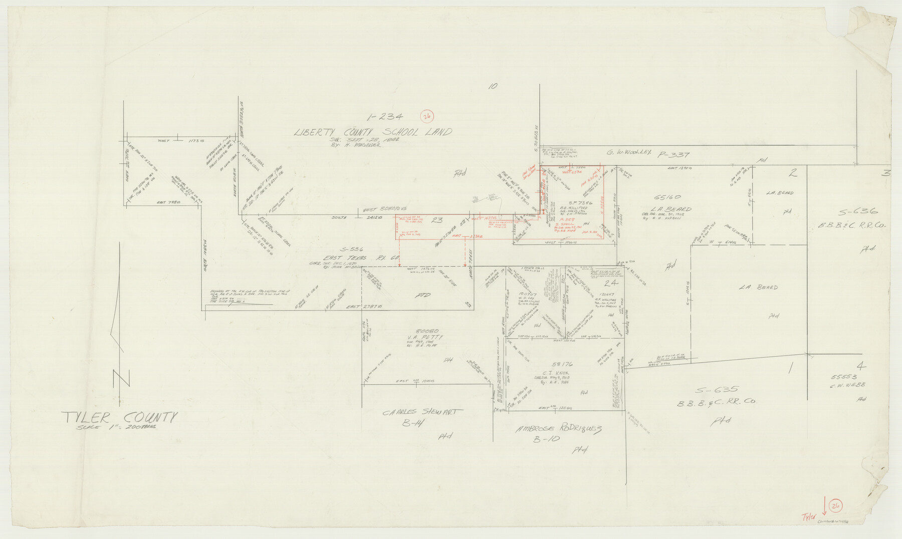
Tyler County Working Sketch 26
-
Map/Doc
69496
-
Collection
General Map Collection
-
Counties
Tyler
-
Subjects
Surveying Working Sketch
-
Height x Width
27.7 x 46.3 inches
70.4 x 117.6 cm
-
Scale
1" = 200 varas
Part of: General Map Collection
Williamson County Sketch File 28

Print $20.00
- Digital $50.00
Williamson County Sketch File 28
1941
Size 23.0 x 18.2 inches
Map/Doc 12695
La Salle County Sketch File 38

Print $40.00
- Digital $50.00
La Salle County Sketch File 38
Size 13.7 x 14.5 inches
Map/Doc 29590
Val Verde County Sketch File 8

Print $38.00
- Digital $50.00
Val Verde County Sketch File 8
1885
Size 22.6 x 23.2 inches
Map/Doc 12564
Navarro County Rolled Sketch 7

Print $20.00
- Digital $50.00
Navarro County Rolled Sketch 7
Size 45.0 x 34.6 inches
Map/Doc 10308
Cameron County Rolled Sketch 20B

Print $20.00
- Digital $50.00
Cameron County Rolled Sketch 20B
1960
Size 25.2 x 13.5 inches
Map/Doc 5472
Haskell County

Print $20.00
- Digital $50.00
Haskell County
1933
Size 46.4 x 39.3 inches
Map/Doc 95525
St. Louis, Brownsville & Mexico Railway Location Map from Mile 100 to Mile 120

Print $40.00
- Digital $50.00
St. Louis, Brownsville & Mexico Railway Location Map from Mile 100 to Mile 120
1905
Size 19.4 x 67.8 inches
Map/Doc 64168
[Sketch for Mineral Application 33721 - 33725 Incl. - Padre and Mustang Island]
![2878, [Sketch for Mineral Application 33721 - 33725 Incl. - Padre and Mustang Island], General Map Collection](https://historictexasmaps.com/wmedia_w700/maps/2878.tif.jpg)
Print $20.00
- Digital $50.00
[Sketch for Mineral Application 33721 - 33725 Incl. - Padre and Mustang Island]
1942
Size 29.8 x 22.7 inches
Map/Doc 2878
Karnes County Boundary File 1

Print $14.00
- Digital $50.00
Karnes County Boundary File 1
Size 8.5 x 7.0 inches
Map/Doc 55679
Hutchinson County Sketch File 36

Print $10.00
- Digital $50.00
Hutchinson County Sketch File 36
1941
Size 11.2 x 8.9 inches
Map/Doc 27270
Bexar County Sketch File 61

Print $61.00
- Digital $50.00
Bexar County Sketch File 61
2019
Size 11.0 x 8.5 inches
Map/Doc 95709
Map of Bell County

Print $40.00
- Digital $50.00
Map of Bell County
1896
Size 48.1 x 54.4 inches
Map/Doc 82066
You may also like
Flight Mission No. BRA-16M, Frame 110, Jefferson County

Print $20.00
- Digital $50.00
Flight Mission No. BRA-16M, Frame 110, Jefferson County
1953
Size 18.6 x 22.4 inches
Map/Doc 85720
Scurry County North Snyder Area

Print $20.00
- Digital $50.00
Scurry County North Snyder Area
1949
Size 32.7 x 23.6 inches
Map/Doc 92920
Kent County Boundary File 1

Print $54.00
- Digital $50.00
Kent County Boundary File 1
Size 14.2 x 8.5 inches
Map/Doc 55795
Edwards County Working Sketch 13

Print $20.00
- Digital $50.00
Edwards County Working Sketch 13
1922
Size 18.3 x 18.4 inches
Map/Doc 68889
Flight Mission No. CRC-1R, Frame 39, Chambers County

Print $20.00
- Digital $50.00
Flight Mission No. CRC-1R, Frame 39, Chambers County
1956
Size 18.8 x 22.4 inches
Map/Doc 84707
Glasscock County, Texas

Print $20.00
- Digital $50.00
Glasscock County, Texas
1889
Size 21.7 x 18.1 inches
Map/Doc 730
Flight Mission No. BRA-7M, Frame 130, Jefferson County

Print $20.00
- Digital $50.00
Flight Mission No. BRA-7M, Frame 130, Jefferson County
1953
Size 16.2 x 16.0 inches
Map/Doc 85524
Tyler County Working Sketch 1

Print $20.00
- Digital $50.00
Tyler County Working Sketch 1
1911
Size 19.0 x 15.0 inches
Map/Doc 69471
Burleson County Working Sketch 3

Print $20.00
- Digital $50.00
Burleson County Working Sketch 3
1979
Size 26.5 x 22.5 inches
Map/Doc 67722
Boundary Between the United States & Mexico Agreed upon by the Joint Commission under the Treaty of Guadalupe Hidalgo

Print $4.00
- Digital $50.00
Boundary Between the United States & Mexico Agreed upon by the Joint Commission under the Treaty of Guadalupe Hidalgo
1853
Size 18.3 x 26.9 inches
Map/Doc 72880
Huntsville State Park

Print $20.00
- Digital $50.00
Huntsville State Park
1937
Size 24.1 x 34.8 inches
Map/Doc 2077
La Salle County Working Sketch 41

Print $20.00
- Digital $50.00
La Salle County Working Sketch 41
1969
Size 29.4 x 26.9 inches
Map/Doc 70342