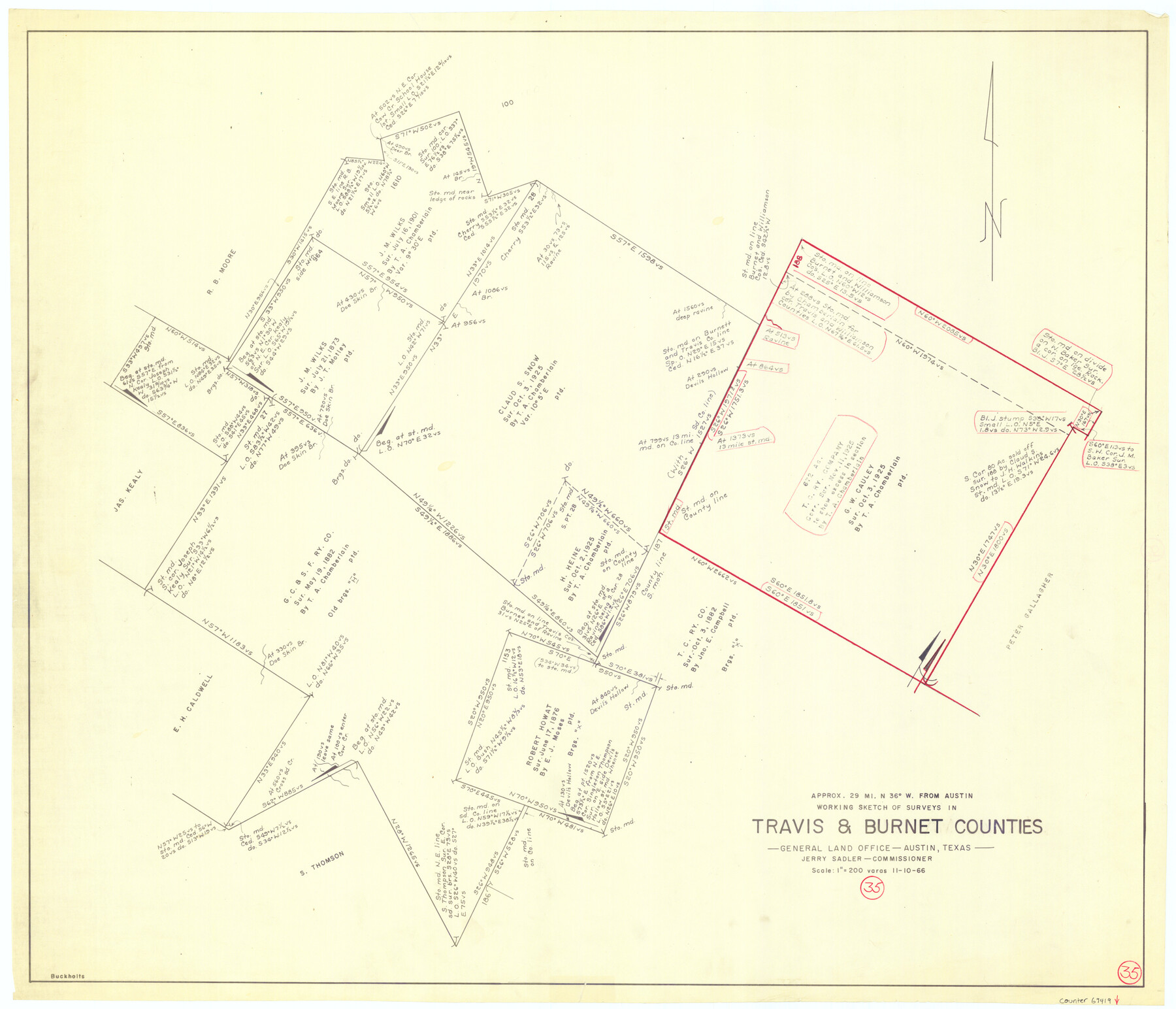
Travis County Working Sketch 35
-
Map/Doc
69419
-
Collection
General Map Collection
-
Object Dates
11/10/1966 (Creation Date)
-
People and Organizations
Roy Buckholts (Draftsman)
-
Counties
Travis Burnet
-
Subjects
Surveying Working Sketch
-
Height x Width
30.4 x 35.5 inches
77.2 x 90.2 cm
-
Scale
1" = 200 varas
Part of: General Map Collection
Bailey County Rolled Sketch 7

Print $40.00
- Digital $50.00
Bailey County Rolled Sketch 7
1941
Size 67.7 x 44.8 inches
Map/Doc 8438
Flight Mission No. DQN-2K, Frame 47, Calhoun County

Print $20.00
- Digital $50.00
Flight Mission No. DQN-2K, Frame 47, Calhoun County
1953
Size 18.5 x 22.2 inches
Map/Doc 84252
Cooke County Working Sketch 8

Print $20.00
- Digital $50.00
Cooke County Working Sketch 8
1940
Size 41.5 x 28.1 inches
Map/Doc 68245

Crosby County Working Sketch 17

Print $20.00
- Digital $50.00
Crosby County Working Sketch 17
1982
Size 32.8 x 43.9 inches
Map/Doc 68451

Maps of Gulf Intracoastal Waterway, Texas - Sabine River to the Rio Grande and connecting waterways including ship channels

Print $20.00
- Digital $50.00
Maps of Gulf Intracoastal Waterway, Texas - Sabine River to the Rio Grande and connecting waterways including ship channels
1966
Size 14.6 x 22.2 inches
Map/Doc 61939
Township 2 South Range 12 West, South Western District, Louisiana

Print $20.00
- Digital $50.00
Township 2 South Range 12 West, South Western District, Louisiana
1884
Size 19.7 x 24.7 inches
Map/Doc 65882
Flight Mission No. CLL-1N, Frame 9, Willacy County

Print $20.00
- Digital $50.00
Flight Mission No. CLL-1N, Frame 9, Willacy County
1954
Size 18.4 x 22.1 inches
Map/Doc 86996
Township No. 2 South Range No. 23 West of the Indian Meridian

Print $20.00
- Digital $50.00
Township No. 2 South Range No. 23 West of the Indian Meridian
1875
Size 19.3 x 24.4 inches
Map/Doc 75175
Kendall County Working Sketch 16

Print $20.00
- Digital $50.00
Kendall County Working Sketch 16
1967
Size 28.0 x 29.1 inches
Map/Doc 66688
Cooke County Working Sketch 11

Print $20.00
- Digital $50.00
Cooke County Working Sketch 11
1940
Size 42.6 x 28.2 inches
Map/Doc 68248
You may also like
Brewster County Working Sketch 22

Print $20.00
- Digital $50.00
Brewster County Working Sketch 22
1939
Size 18.4 x 30.7 inches
Map/Doc 67556
Floyd County Sketch File 27

Print $6.00
- Digital $50.00
Floyd County Sketch File 27
1900
Size 14.4 x 8.9 inches
Map/Doc 22789
Corpus Christi Pass, Texas

Print $3.00
- Digital $50.00
Corpus Christi Pass, Texas
1869
Size 16.7 x 11.2 inches
Map/Doc 73456
Nacogdoches County

Print $40.00
- Digital $50.00
Nacogdoches County
1950
Size 48.1 x 44.1 inches
Map/Doc 95598
Bastrop County, From McDade to Austin, Texas, Houston & Texas Central Railroad

Print $20.00
- Digital $50.00
Bastrop County, From McDade to Austin, Texas, Houston & Texas Central Railroad
1939
Size 26.6 x 15.5 inches
Map/Doc 64364
Real County Working Sketch 41

Print $20.00
- Digital $50.00
Real County Working Sketch 41
1952
Size 34.1 x 23.6 inches
Map/Doc 71933
![92632, [League 280], Twichell Survey Records](https://historictexasmaps.com/wmedia_w700/maps/92632-1.tif.jpg)
Dimmit County Working Sketch 2

Print $20.00
- Digital $50.00
Dimmit County Working Sketch 2
1906
Size 22.7 x 21.5 inches
Map/Doc 68663
[Reverse of] Plan of the City of Austin
![76228, [Reverse of] Plan of the City of Austin, Texas State Library and Archives](https://historictexasmaps.com/wmedia_w700/maps/76228.tif.jpg)
Print $20.00
[Reverse of] Plan of the City of Austin
1839
Size 19.2 x 24.3 inches
Map/Doc 76228
Lamb County Sketch File B

Print $6.00
- Digital $50.00
Lamb County Sketch File B
1902
Size 11.2 x 8.8 inches
Map/Doc 29344
Crane County Working Sketch 8

Print $20.00
- Digital $50.00
Crane County Working Sketch 8
1929
Size 33.2 x 28.4 inches
Map/Doc 68285
