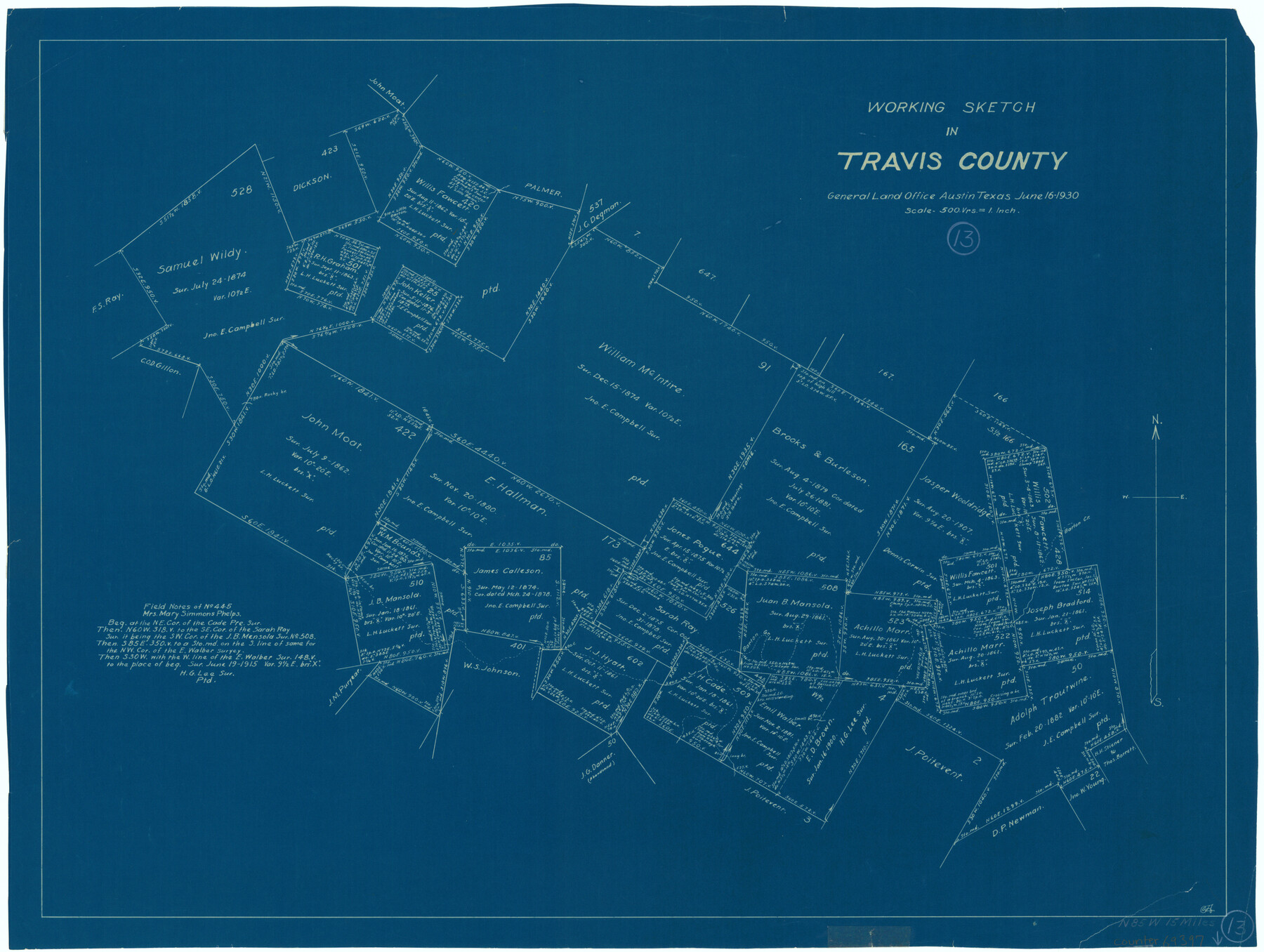
Travis County Working Sketch 13
-
Map/Doc
69397
-
Collection
General Map Collection
-
Object Dates
6/16/1930 (Creation Date)
-
Counties
Travis
-
Subjects
Surveying Working Sketch
-
Height x Width
20.5 x 27.3 inches
52.1 x 69.3 cm
-
Scale
1" = 500 varas
Part of: General Map Collection
Guadalupe County Sketch File 21

Print $6.00
- Digital $50.00
Guadalupe County Sketch File 21
Size 9.9 x 8.5 inches
Map/Doc 24702
Township No. 2 South Range No. 19 West of the Indian Meridian

Print $20.00
- Digital $50.00
Township No. 2 South Range No. 19 West of the Indian Meridian
1875
Size 19.2 x 24.8 inches
Map/Doc 75181
Tarrant County Sketch File 19

Print $4.00
- Digital $50.00
Tarrant County Sketch File 19
Size 9.7 x 8.1 inches
Map/Doc 37721
Dawson County Sketch File 16

Print $14.00
- Digital $50.00
Dawson County Sketch File 16
Size 13.4 x 8.8 inches
Map/Doc 20551
Galveston County Sketch File 72

Print $28.00
- Digital $50.00
Galveston County Sketch File 72
1995
Size 14.2 x 8.9 inches
Map/Doc 23970
Reagan County Working Sketch 8

Print $20.00
- Digital $50.00
Reagan County Working Sketch 8
1939
Size 37.8 x 23.3 inches
Map/Doc 71848
Bell County Working Sketch 21

Print $20.00
- Digital $50.00
Bell County Working Sketch 21
2008
Size 41.0 x 29.5 inches
Map/Doc 88887
Jones County Sketch File 16

Print $20.00
- Digital $50.00
Jones County Sketch File 16
1945
Size 23.7 x 19.0 inches
Map/Doc 11901
Controlled Mosaic by Jack Amman Photogrammetric Engineers, Inc - Sheet 42

Print $20.00
- Digital $50.00
Controlled Mosaic by Jack Amman Photogrammetric Engineers, Inc - Sheet 42
1954
Size 20.0 x 24.0 inches
Map/Doc 83501
Sterling County Working Sketch 1

Print $20.00
- Digital $50.00
Sterling County Working Sketch 1
1926
Size 30.3 x 29.6 inches
Map/Doc 63983
Hutchinson County Rolled Sketch 44-11

Print $20.00
- Digital $50.00
Hutchinson County Rolled Sketch 44-11
2002
Size 24.0 x 36.0 inches
Map/Doc 77547
Nolan County Working Sketch 2

Print $20.00
- Digital $50.00
Nolan County Working Sketch 2
1943
Size 26.7 x 25.0 inches
Map/Doc 71293
You may also like
Pecos County Sketch

Print $20.00
- Digital $50.00
Pecos County Sketch
Size 34.2 x 23.5 inches
Map/Doc 91642
The Republic County of Harris. Proposed, Late Fall 1837-May 15, 1838

Print $20.00
The Republic County of Harris. Proposed, Late Fall 1837-May 15, 1838
2020
Size 17.7 x 21.7 inches
Map/Doc 96162
Victoria County Working Sketch 9

Print $40.00
- Digital $50.00
Victoria County Working Sketch 9
1963
Size 49.9 x 35.8 inches
Map/Doc 72279
[Surveyor's certificate by James Howlet, District Surveyor]
![318, [Surveyor's certificate by James Howlet, District Surveyor], General Map Collection](https://historictexasmaps.com/wmedia_w700/maps/318.tif.jpg)
Print $2.00
- Digital $50.00
[Surveyor's certificate by James Howlet, District Surveyor]
Size 6.1 x 8.0 inches
Map/Doc 318
Lampasas County Sketch File A

Print $4.00
- Digital $50.00
Lampasas County Sketch File A
1887
Size 11.3 x 9.0 inches
Map/Doc 29383
[Blocks 3, Q, and Vicinity]
![91276, [Blocks 3, Q, and Vicinity], Twichell Survey Records](https://historictexasmaps.com/wmedia_w700/maps/91276.tif.jpg)
Print $20.00
- Digital $50.00
[Blocks 3, Q, and Vicinity]
Size 19.1 x 9.2 inches
Map/Doc 91276
Haskell County Sketch File 1A

Print $40.00
- Digital $50.00
Haskell County Sketch File 1A
Size 12.3 x 14.5 inches
Map/Doc 26119

A general map of Great Britain and Ireland with part of Holland, Flanders, France & agreable to modern history

Print $20.00
A general map of Great Britain and Ireland with part of Holland, Flanders, France & agreable to modern history
1750
Size 21.6 x 25.7 inches
Map/Doc 97435
Photo Index of Texas Coast - Sheet 5 of 6

Print $20.00
- Digital $50.00
Photo Index of Texas Coast - Sheet 5 of 6
1954
Size 20.0 x 24.0 inches
Map/Doc 83443
Map of W. D. Johnson's Pasture

Print $20.00
- Digital $50.00
Map of W. D. Johnson's Pasture
Size 25.1 x 15.0 inches
Map/Doc 90284
Dawson County Sketch File 9

Print $4.00
- Digital $50.00
Dawson County Sketch File 9
1925
Size 11.3 x 8.7 inches
Map/Doc 20542