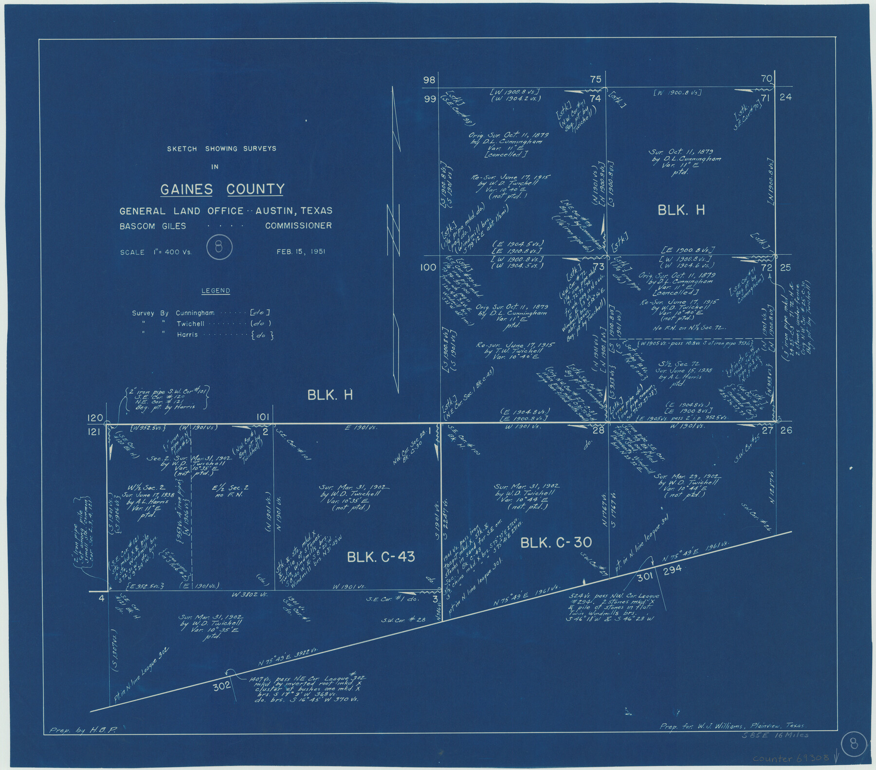
Gaines County Working Sketch 8
-
Map/Doc
69308
-
Collection
General Map Collection
-
Object Dates
2/15/1951 (Creation Date)
-
Counties
Gaines
-
Subjects
Surveying Working Sketch
-
Height x Width
21.8 x 24.8 inches
55.4 x 63.0 cm
-
Scale
1" = 400 varas
Part of: General Map Collection
The Texas and Pacific Ry. Co., Station Map, Roscoe, Texas

Print $20.00
- Digital $50.00
The Texas and Pacific Ry. Co., Station Map, Roscoe, Texas
Size 11.0 x 19.0 inches
Map/Doc 64690
Clay County Sketch File 17

Print $4.00
- Digital $50.00
Clay County Sketch File 17
1855
Size 6.8 x 8.7 inches
Map/Doc 18425
Hansford County Sketch File 9

Print $33.00
- Digital $50.00
Hansford County Sketch File 9
1928
Size 11.1 x 8.8 inches
Map/Doc 24963
DeWitt County Working Sketch Graphic Index

Print $20.00
- Digital $50.00
DeWitt County Working Sketch Graphic Index
1920
Size 39.7 x 46.7 inches
Map/Doc 76522
Rusk County Working Sketch 22

Print $20.00
- Digital $50.00
Rusk County Working Sketch 22
1950
Size 22.5 x 12.8 inches
Map/Doc 63658
Palo Pinto County Rolled Sketch 10

Print $20.00
- Digital $50.00
Palo Pinto County Rolled Sketch 10
1954
Size 35.4 x 34.1 inches
Map/Doc 9676
Wichita County Working Sketch 14

Print $20.00
- Digital $50.00
Wichita County Working Sketch 14
1922
Size 20.8 x 42.1 inches
Map/Doc 72524
Kimble County Working Sketch 97

Print $20.00
- Digital $50.00
Kimble County Working Sketch 97
2012
Size 42.8 x 36.6 inches
Map/Doc 93388
Bexar County State Real Property Sketch 4

Print $20.00
- Digital $50.00
Bexar County State Real Property Sketch 4
2013
Size 25.0 x 36.5 inches
Map/Doc 93692
Freestone County Sketch File 2

Print $12.00
- Digital $50.00
Freestone County Sketch File 2
1849
Size 13.0 x 8.1 inches
Map/Doc 23037
Travis County Boundary File 2

Print $42.00
- Digital $50.00
Travis County Boundary File 2
Size 9.3 x 7.2 inches
Map/Doc 59406

You may also like
Randall County Sketch File 9

Print $22.00
- Digital $50.00
Randall County Sketch File 9
Size 13.9 x 17.0 inches
Map/Doc 34970
Ride the Texas Mountain Trail [Recto]
![94164, Ride the Texas Mountain Trail [Recto], General Map Collection](https://historictexasmaps.com/wmedia_w700/maps/94164.tif.jpg)
Ride the Texas Mountain Trail [Recto]
1968
Size 18.4 x 24.3 inches
Map/Doc 94164
Boundary Between the United States & Mexico Agreed Upon by the Joint Commission under the Treaty of Guadalupe Hidalgo

Print $4.00
- Digital $50.00
Boundary Between the United States & Mexico Agreed Upon by the Joint Commission under the Treaty of Guadalupe Hidalgo
1853
Size 24.0 x 17.6 inches
Map/Doc 65391

Nueces County Sketch File 75

Print $20.00
- Digital $50.00
Nueces County Sketch File 75
1977
Size 26.1 x 27.8 inches
Map/Doc 42199
Hydrographic Survey H-6395 of Outer Coast of Padre Island; Gulf of Mexico

Print $40.00
- Digital $50.00
Hydrographic Survey H-6395 of Outer Coast of Padre Island; Gulf of Mexico
1938
Size 55.1 x 33.3 inches
Map/Doc 2697
Andrews County Working Sketch 12

Print $20.00
- Digital $50.00
Andrews County Working Sketch 12
1956
Size 35.5 x 25.3 inches
Map/Doc 67058
Shackelford County Sketch File 14

Print $28.00
- Digital $50.00
Shackelford County Sketch File 14
1874
Size 14.4 x 8.8 inches
Map/Doc 36585
Harris County Rolled Sketch 88

Print $20.00
- Digital $50.00
Harris County Rolled Sketch 88
1936
Size 35.0 x 22.8 inches
Map/Doc 6125
Bowie County Sketch File 9

Print $10.00
- Digital $50.00
Bowie County Sketch File 9
Size 8.1 x 3.9 inches
Map/Doc 14907
Tascotal Mesa Quadrangle

Print $20.00
- Digital $50.00
Tascotal Mesa Quadrangle
1917
Size 17.0 x 20.7 inches
Map/Doc 90134
Spanish Dominions in North America, Northern Part

Print $20.00
- Digital $50.00
Spanish Dominions in North America, Northern Part
1811
Size 22.1 x 30.5 inches
Map/Doc 95133