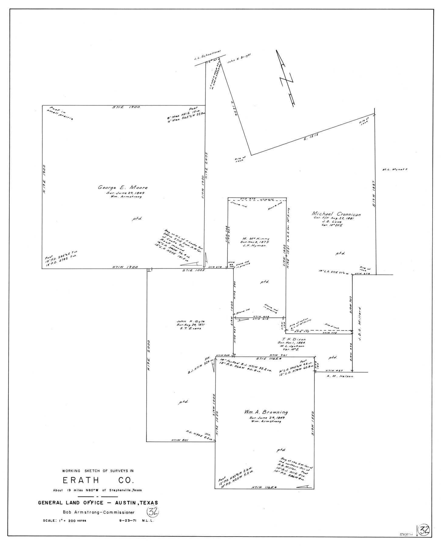
Erath County Working Sketch 32
-
Map/Doc
69113
-
Collection
General Map Collection
-
Object Dates
9/23/1971 (Creation Date)
-
People and Organizations
M. L. Liles (Draftsman)
-
Counties
Erath
-
Subjects
Surveying Working Sketch
-
Height x Width
32.0 x 25.8 inches
81.3 x 65.5 cm
-
Scale
1" = 200 varas
Part of: General Map Collection
Motley County Sketch File 26 (S)

Print $6.00
- Digital $50.00
Motley County Sketch File 26 (S)
Size 10.7 x 15.6 inches
Map/Doc 32206
Map of San Jacinto County

Print $20.00
- Digital $50.00
Map of San Jacinto County
1872
Size 22.0 x 18.6 inches
Map/Doc 1346
Hays County Sketch File 9

Print $6.00
- Digital $50.00
Hays County Sketch File 9
Size 9.6 x 16.2 inches
Map/Doc 26212
Flight Mission No. CUG-3P, Frame 12, Kleberg County

Print $20.00
- Digital $50.00
Flight Mission No. CUG-3P, Frame 12, Kleberg County
1956
Size 18.5 x 22.3 inches
Map/Doc 86222
[Surveys along the Bosque River]
![236, [Surveys along the Bosque River], General Map Collection](https://historictexasmaps.com/wmedia_w700/maps/236.tif.jpg)
Print $3.00
- Digital $50.00
[Surveys along the Bosque River]
1846
Size 9.4 x 12.8 inches
Map/Doc 236
Menard County

Print $20.00
- Digital $50.00
Menard County
1942
Size 42.2 x 44.4 inches
Map/Doc 95588
Go Turnpike! Dallas-Fort Worth Turnpike (Recto)

Go Turnpike! Dallas-Fort Worth Turnpike (Recto)
1963
Size 11.2 x 17.2 inches
Map/Doc 94177
Outer Continental Shelf Leasing Maps (Louisiana Offshore Operations)

Print $20.00
- Digital $50.00
Outer Continental Shelf Leasing Maps (Louisiana Offshore Operations)
1959
Size 17.7 x 13.9 inches
Map/Doc 76114
Live Oak County Rolled Sketch 3

Print $20.00
- Digital $50.00
Live Oak County Rolled Sketch 3
1944
Size 31.2 x 47.2 inches
Map/Doc 10630
Coryell County Sketch File 15

Print $4.00
- Digital $50.00
Coryell County Sketch File 15
1873
Size 13.0 x 8.5 inches
Map/Doc 19371
Topographical Map of the Rio Grande from Roma to the Gulf of Mexico, Index Map, Sheet No. 2

Print $20.00
- Digital $50.00
Topographical Map of the Rio Grande from Roma to the Gulf of Mexico, Index Map, Sheet No. 2
1912
Map/Doc 89524
Clay County Sketch File 9a

Print $6.00
- Digital $50.00
Clay County Sketch File 9a
1855
Size 10.7 x 6.1 inches
Map/Doc 18403
You may also like
Fort Bend County Boundary File 3

Print $2.00
- Digital $50.00
Fort Bend County Boundary File 3
Size 8.8 x 11.3 inches
Map/Doc 53566
Camp County Working Sketch 3

Print $20.00
- Digital $50.00
Camp County Working Sketch 3
1982
Size 32.1 x 24.4 inches
Map/Doc 67879
Brown County Working Sketch 3

Print $20.00
- Digital $50.00
Brown County Working Sketch 3
1919
Size 29.1 x 21.5 inches
Map/Doc 67768
Edwards County Rolled Sketch 25

Print $20.00
- Digital $50.00
Edwards County Rolled Sketch 25
1955
Size 30.2 x 35.5 inches
Map/Doc 5811
Coke County Boundary File 6

Print $62.00
- Digital $50.00
Coke County Boundary File 6
Size 7.2 x 37.9 inches
Map/Doc 51615
Wood County Rolled Sketch 7

Print $20.00
- Digital $50.00
Wood County Rolled Sketch 7
Size 31.9 x 26.9 inches
Map/Doc 8285
Terry County Rolled Sketch 4

Print $20.00
- Digital $50.00
Terry County Rolled Sketch 4
Size 38.7 x 36.8 inches
Map/Doc 9994
Trinity County Sketch File 5a

Print $4.00
- Digital $50.00
Trinity County Sketch File 5a
1853
Size 6.9 x 8.0 inches
Map/Doc 38504
Wilson County Sketch File 11

Print $27.00
- Digital $50.00
Wilson County Sketch File 11
Size 19.5 x 23.6 inches
Map/Doc 40419
[H. & G. N. Block 1]
![90810, [H. & G. N. Block 1], Twichell Survey Records](https://historictexasmaps.com/wmedia_w700/maps/90810-2.tif.jpg)
Print $3.00
- Digital $50.00
[H. & G. N. Block 1]
Size 11.4 x 12.9 inches
Map/Doc 90810
Gray County Sketch File 10

Print $14.00
- Digital $50.00
Gray County Sketch File 10
Size 9.7 x 6.3 inches
Map/Doc 24445
Sutton County Boundary File 4

Print $20.00
- Digital $50.00
Sutton County Boundary File 4
Size 14.2 x 8.8 inches
Map/Doc 59035