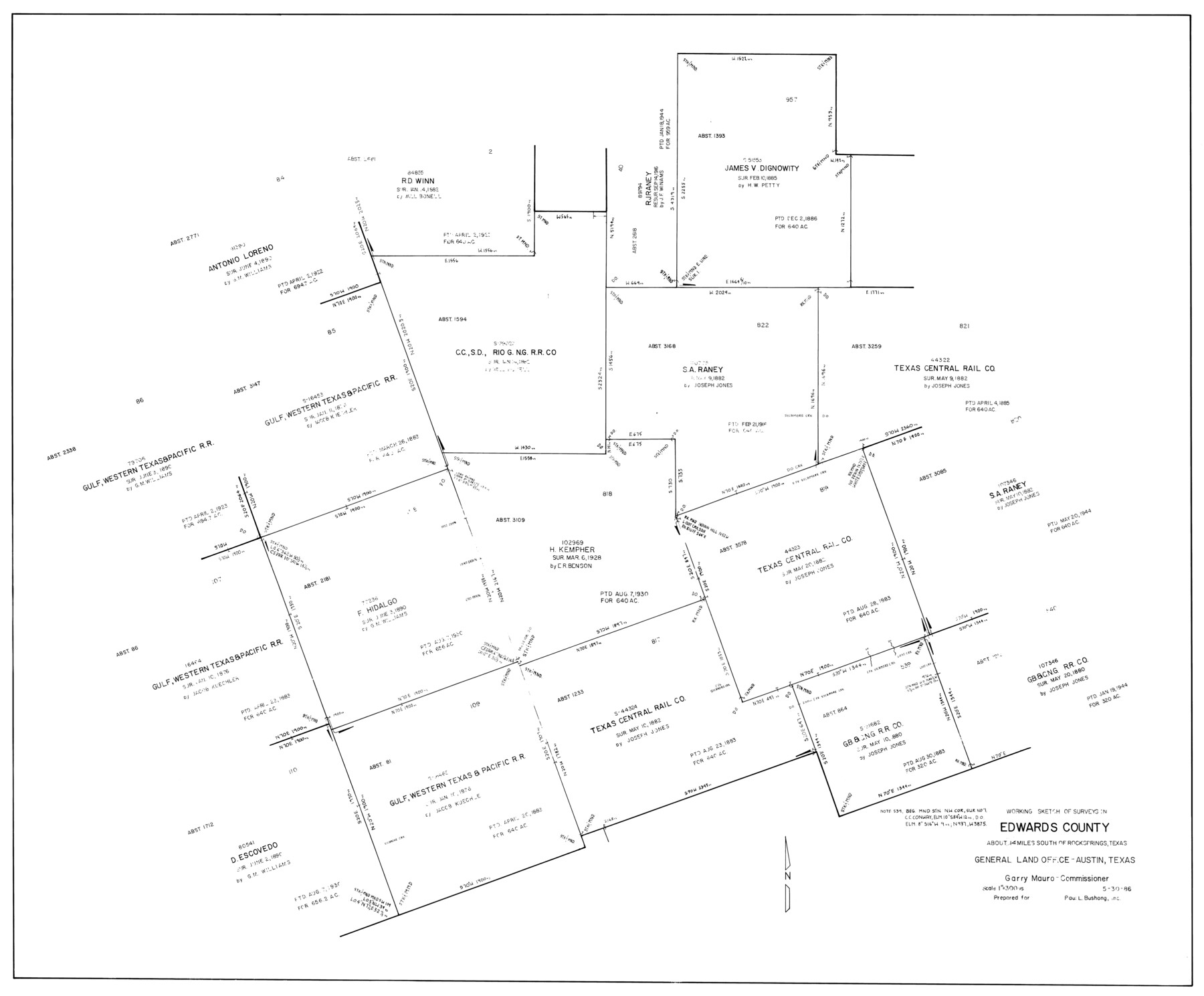
Edwards County Working Sketch 135
-
Map/Doc
69011
-
Collection
General Map Collection
-
Object Dates
5/30/1986 (Creation Date)
-
Counties
Edwards
-
Subjects
Surveying Working Sketch
-
Height x Width
31.8 x 38.4 inches
80.8 x 97.5 cm
-
Scale
1" = 300 varas
Part of: General Map Collection
The State of Oklahoma

Print $20.00
- Digital $50.00
The State of Oklahoma
1916
Size 28.4 x 34.4 inches
Map/Doc 97104
San Augustine County Texas

Print $20.00
- Digital $50.00
San Augustine County Texas
1879
Size 23.8 x 16.9 inches
Map/Doc 4623
Map of Galveston, Harrisburg & San Antonio Railway in Pecos County

Print $40.00
- Digital $50.00
Map of Galveston, Harrisburg & San Antonio Railway in Pecos County
1888
Size 26.0 x 80.9 inches
Map/Doc 64399
Grimes County State Real Property Sketch 1

Print $20.00
- Digital $50.00
Grimes County State Real Property Sketch 1
2001
Size 36.0 x 24.8 inches
Map/Doc 80133
Fayette County Working Sketch 7

Print $20.00
- Digital $50.00
Fayette County Working Sketch 7
1981
Size 24.1 x 15.6 inches
Map/Doc 69171
Childress County Sketch File 19

Print $4.00
- Digital $50.00
Childress County Sketch File 19
Size 14.1 x 8.7 inches
Map/Doc 18294
PSL Field Notes for Blocks G, L, P, and Q in Cochran and Yoakum Counties and Blocks U, V, W, Y, and Z in Cochran County

PSL Field Notes for Blocks G, L, P, and Q in Cochran and Yoakum Counties and Blocks U, V, W, Y, and Z in Cochran County
Map/Doc 81645
United States - Gulf Coast - Aransas Pass and Corpus Christi Bay with the coast to latitude 27° 12' Texas

Print $20.00
- Digital $50.00
United States - Gulf Coast - Aransas Pass and Corpus Christi Bay with the coast to latitude 27° 12' Texas
1913
Size 27.5 x 18.3 inches
Map/Doc 72794
Crockett County Rolled Sketch 39
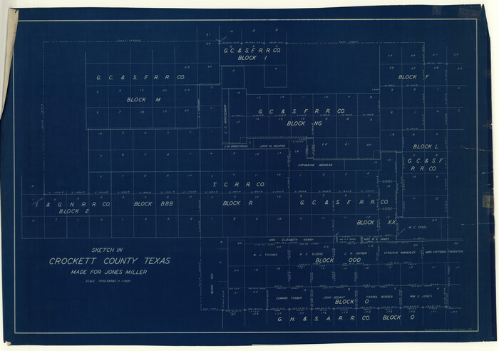
Print $20.00
- Digital $50.00
Crockett County Rolled Sketch 39
1935
Size 30.3 x 43.0 inches
Map/Doc 8705
[Liberty County, Texas]
![60297, [Liberty County, Texas], General Map Collection](https://historictexasmaps.com/wmedia_w700/maps/60297-1.tif.jpg)
Print $20.00
- Digital $50.00
[Liberty County, Texas]
1890
Size 24.2 x 16.9 inches
Map/Doc 60297
Railroad Track Map, H&TCRRCo., Falls County, Texas

Print $4.00
- Digital $50.00
Railroad Track Map, H&TCRRCo., Falls County, Texas
1918
Size 11.5 x 18.6 inches
Map/Doc 62850
Wilbarger County Aerial Photograph Index Sheet 3

Print $20.00
- Digital $50.00
Wilbarger County Aerial Photograph Index Sheet 3
1950
Size 22.5 x 18.9 inches
Map/Doc 83752
You may also like
Flight Mission No. DAG-26K, Frame 59, Matagorda County

Print $20.00
- Digital $50.00
Flight Mission No. DAG-26K, Frame 59, Matagorda County
1953
Size 18.5 x 22.3 inches
Map/Doc 86579
Map Showing North and West Boundaries of Gray County

Print $20.00
- Digital $50.00
Map Showing North and West Boundaries of Gray County
Size 39.7 x 19.0 inches
Map/Doc 90709
Castro County Rolled Sketch 7

Print $20.00
- Digital $50.00
Castro County Rolled Sketch 7
1908
Size 28.9 x 24.1 inches
Map/Doc 5417
El Paso County Rolled Sketch 16

Print $40.00
- Digital $50.00
El Paso County Rolled Sketch 16
1885
Size 21.5 x 52.0 inches
Map/Doc 8855
Presidio County Working Sketch 148

Print $20.00
- Digital $50.00
Presidio County Working Sketch 148
1991
Size 31.7 x 42.7 inches
Map/Doc 71826
Sutton County Rolled Sketch 57

Print $40.00
- Digital $50.00
Sutton County Rolled Sketch 57
1958
Size 40.1 x 51.1 inches
Map/Doc 10662
Crane County Boundary File 1

Print $6.00
- Digital $50.00
Crane County Boundary File 1
Size 14.1 x 8.7 inches
Map/Doc 51957
Map of Colorado County

Print $20.00
- Digital $50.00
Map of Colorado County
1864
Size 22.1 x 25.0 inches
Map/Doc 3423
Carson County Boundary File 2

Print $56.00
- Digital $50.00
Carson County Boundary File 2
Size 14.0 x 8.6 inches
Map/Doc 51121
PSL Field Notes for Block B9 in Ector and Winkler Counties, Block B13 in Ector, Ward, and Winkler Counties, and Blocks A55, A56, A57, B1, B2, B3, B5, B6, B7, B10, B11, and B12 in Winkler County

PSL Field Notes for Block B9 in Ector and Winkler Counties, Block B13 in Ector, Ward, and Winkler Counties, and Blocks A55, A56, A57, B1, B2, B3, B5, B6, B7, B10, B11, and B12 in Winkler County
Map/Doc 81676
Brewster County Working Sketch 14

Print $20.00
- Digital $50.00
Brewster County Working Sketch 14
1929
Size 21.3 x 22.7 inches
Map/Doc 67547
Newton County Sketch File 43

Print $12.00
- Digital $50.00
Newton County Sketch File 43
1944
Size 11.2 x 8.6 inches
Map/Doc 32435