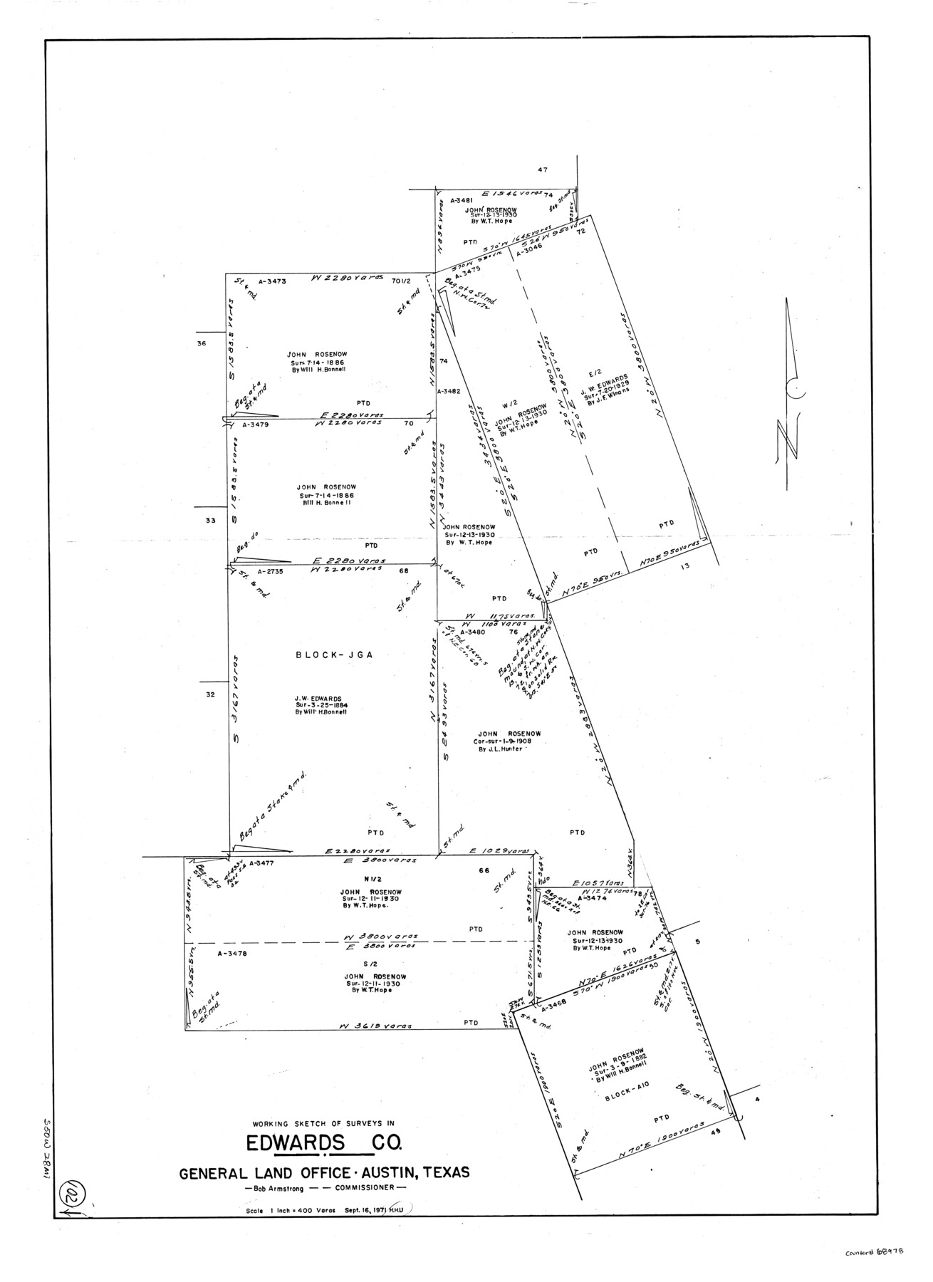
Edwards County Working Sketch 102
-
Map/Doc
68978
-
Collection
General Map Collection
-
Object Dates
9/16/1971 (Creation Date)
-
People and Organizations
Herbert H. Ulbricht (Draftsman)
-
Counties
Edwards
-
Subjects
Surveying Working Sketch
-
Height x Width
35.0 x 25.5 inches
88.9 x 64.8 cm
-
Scale
1" = 400 varas
Part of: General Map Collection
Eastland County

Print $20.00
- Digital $50.00
Eastland County
1945
Size 41.8 x 42.0 inches
Map/Doc 77268
Current Miscellaneous File 85

Print $10.00
- Digital $50.00
Current Miscellaneous File 85
Size 11.3 x 8.8 inches
Map/Doc 74235
Kent County Working Sketch 21

Print $20.00
- Digital $50.00
Kent County Working Sketch 21
1981
Size 43.5 x 37.5 inches
Map/Doc 70028
Motley County Sketch File 6B (S)

Print $20.00
- Digital $50.00
Motley County Sketch File 6B (S)
Size 24.5 x 20.7 inches
Map/Doc 42139
Runnels County Sketch File 17

Print $6.00
Runnels County Sketch File 17
Size 11.0 x 13.6 inches
Map/Doc 35474
Pecos County Rolled Sketch 41

Print $20.00
- Digital $50.00
Pecos County Rolled Sketch 41
Size 22.7 x 31.3 inches
Map/Doc 7219
Upton County Working Sketch 38

Print $20.00
- Digital $50.00
Upton County Working Sketch 38
1957
Size 23.3 x 32.8 inches
Map/Doc 69534
Maps of Gulf Intracoastal Waterway, Texas - Sabine River to the Rio Grande and connecting waterways including ship channels

Print $20.00
- Digital $50.00
Maps of Gulf Intracoastal Waterway, Texas - Sabine River to the Rio Grande and connecting waterways including ship channels
1966
Size 14.5 x 22.2 inches
Map/Doc 61927
Cooke County Working Sketch 24

Print $20.00
- Digital $50.00
Cooke County Working Sketch 24
1972
Size 22.1 x 24.4 inches
Map/Doc 68261
Presidio County Working Sketch 146

Print $20.00
- Digital $50.00
Presidio County Working Sketch 146
1989
Size 20.7 x 20.6 inches
Map/Doc 71824
Live Oak County Working Sketch 13

Print $20.00
- Digital $50.00
Live Oak County Working Sketch 13
1957
Size 42.1 x 38.7 inches
Map/Doc 70598
Jones County Rolled Sketch 3

Print $20.00
- Digital $50.00
Jones County Rolled Sketch 3
2016
Size 22.1 x 34.4 inches
Map/Doc 97130
You may also like
Llano County Rolled Sketch 2

Print $20.00
- Digital $50.00
Llano County Rolled Sketch 2
Size 18.2 x 27.3 inches
Map/Doc 9459
Real County Working Sketch 74

Print $20.00
- Digital $50.00
Real County Working Sketch 74
1979
Size 17.1 x 23.5 inches
Map/Doc 71966
Clay County Sketch File 48

Print $26.00
- Digital $50.00
Clay County Sketch File 48
1919
Size 14.2 x 8.6 inches
Map/Doc 18487
Hudspeth County Working Sketch 10

Print $20.00
- Digital $50.00
Hudspeth County Working Sketch 10
1941
Size 16.0 x 17.1 inches
Map/Doc 66291
Map of east part of West Bay & SW part of Galveston Bay, Galveston County showing subdivision for mineral development

Print $40.00
- Digital $50.00
Map of east part of West Bay & SW part of Galveston Bay, Galveston County showing subdivision for mineral development
Size 69.6 x 48.0 inches
Map/Doc 65804
A map of Lewis and Clark's track across the western portion of North America from the Mississippi to the Pacific Ocean, by Order of the executive of the United States in 1804, 5, & 6

Print $20.00
- Digital $50.00
A map of Lewis and Clark's track across the western portion of North America from the Mississippi to the Pacific Ocean, by Order of the executive of the United States in 1804, 5, & 6
1814
Size 13.3 x 27.9 inches
Map/Doc 97412
Flight Mission No. DAG-22K, Frame 76, Matagorda County

Print $20.00
- Digital $50.00
Flight Mission No. DAG-22K, Frame 76, Matagorda County
1953
Size 18.7 x 22.4 inches
Map/Doc 86463
Map of Hays County

Print $20.00
- Digital $50.00
Map of Hays County
1877
Size 21.2 x 19.8 inches
Map/Doc 3646
Taylor County Rolled Sketch 25

Print $20.00
- Digital $50.00
Taylor County Rolled Sketch 25
1962
Size 27.1 x 46.0 inches
Map/Doc 7917
Reagan County Working Sketch 21

Print $20.00
- Digital $50.00
Reagan County Working Sketch 21
1955
Size 23.4 x 19.9 inches
Map/Doc 71863
Map of Jefferson as owned by Allen Urquhart

Print $20.00
- Digital $50.00
Map of Jefferson as owned by Allen Urquhart
1850
Size 25.1 x 16.6 inches
Map/Doc 1684
