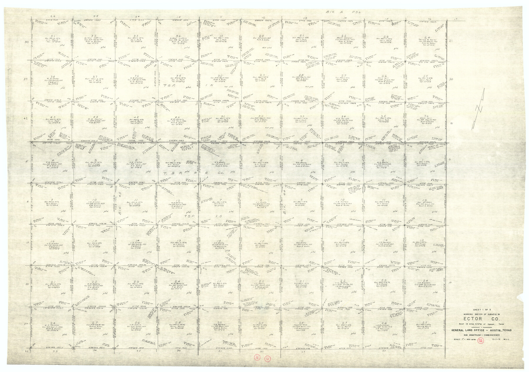
Ector County Working Sketch 28
-
Map/Doc
68871
-
Collection
General Map Collection
-
Object Dates
2/1/1971 (Creation Date)
-
People and Organizations
M. L. Liles (Draftsman)
-
Counties
Ector
-
Subjects
Surveying Working Sketch
-
Height x Width
43.3 x 61.6 inches
110.0 x 156.5 cm
-
Scale
1" = 400 varas
Part of: General Map Collection
Carte du Texas, Extraite de la grande Carte du Mexique par A. Brué Géographe du Roi, Revue, corrigée et considerablement augmentée d'après des documens récens et renseignemens fournis par Mr. le Docteur Fc. Leclerc

Print $20.00
- Digital $50.00
Carte du Texas, Extraite de la grande Carte du Mexique par A. Brué Géographe du Roi, Revue, corrigée et considerablement augmentée d'après des documens récens et renseignemens fournis par Mr. le Docteur Fc. Leclerc
1840
Size 12.6 x 14.2 inches
Map/Doc 94273
Donley County Sketch File B12

Print $6.00
- Digital $50.00
Donley County Sketch File B12
1982
Size 9.1 x 14.6 inches
Map/Doc 21276
Kinney County Working Sketch 54

Print $20.00
- Digital $50.00
Kinney County Working Sketch 54
1981
Size 40.0 x 32.8 inches
Map/Doc 70236
Lipscomb County

Print $20.00
- Digital $50.00
Lipscomb County
1889
Size 23.5 x 18.5 inches
Map/Doc 3817
Brown County Working Sketch 5

Print $20.00
- Digital $50.00
Brown County Working Sketch 5
1939
Size 20.9 x 24.0 inches
Map/Doc 67770
Terrell County Rolled Sketch 12

Print $20.00
- Digital $50.00
Terrell County Rolled Sketch 12
Size 37.1 x 31.5 inches
Map/Doc 7926
Leon County Rolled Sketch 14

Print $20.00
- Digital $50.00
Leon County Rolled Sketch 14
1976
Size 33.4 x 27.9 inches
Map/Doc 9432
Moore County Working Sketch 3

Print $20.00
- Digital $50.00
Moore County Working Sketch 3
1910
Size 12.2 x 17.4 inches
Map/Doc 71185
Live Oak County Working Sketch 11

Print $20.00
- Digital $50.00
Live Oak County Working Sketch 11
1949
Size 29.7 x 25.7 inches
Map/Doc 70596
Travis County Working Sketch 9

Print $20.00
- Digital $50.00
Travis County Working Sketch 9
1918
Size 21.9 x 28.9 inches
Map/Doc 69393
Henderson County Boundary File 3

Print $32.00
- Digital $50.00
Henderson County Boundary File 3
Size 6.3 x 14.0 inches
Map/Doc 54669
Runnels County Rolled Sketch 32

Print $20.00
- Digital $50.00
Runnels County Rolled Sketch 32
Size 34.9 x 44.5 inches
Map/Doc 9868
You may also like
[Gunter & Munson, Maddox Bros. & Anderson Blocks F and A and blocks south]
![91850, [Gunter & Munson, Maddox Bros. & Anderson Blocks F and A and blocks south], Twichell Survey Records](https://historictexasmaps.com/wmedia_w700/maps/91850-1.tif.jpg)
Print $20.00
- Digital $50.00
[Gunter & Munson, Maddox Bros. & Anderson Blocks F and A and blocks south]
Size 18.3 x 19.8 inches
Map/Doc 91850
Red River County Working Sketch 49

Print $20.00
- Digital $50.00
Red River County Working Sketch 49
1970
Size 31.3 x 21.5 inches
Map/Doc 72032
Flight Mission No. CGI-4N, Frame 185, Cameron County

Print $20.00
- Digital $50.00
Flight Mission No. CGI-4N, Frame 185, Cameron County
1955
Size 18.6 x 22.3 inches
Map/Doc 84688
Hutchinson County Sketch File 2

Print $8.00
- Digital $50.00
Hutchinson County Sketch File 2
1882
Size 14.2 x 8.7 inches
Map/Doc 27173
Bandera County Boundary File 6

Print $42.00
- Digital $50.00
Bandera County Boundary File 6
1972
Size 14.2 x 8.9 inches
Map/Doc 50303
Hunt County Rolled Sketch 5

Print $20.00
- Digital $50.00
Hunt County Rolled Sketch 5
1956
Size 27.6 x 24.8 inches
Map/Doc 6270

Flight Mission No. CGI-3N, Frame 175, Cameron County

Print $20.00
- Digital $50.00
Flight Mission No. CGI-3N, Frame 175, Cameron County
1954
Size 18.6 x 22.3 inches
Map/Doc 84639

Subdivision Map of Fisher County School Land situated in Bailey and Cochran Counties, Texas

Print $20.00
- Digital $50.00
Subdivision Map of Fisher County School Land situated in Bailey and Cochran Counties, Texas
1924
Size 17.3 x 21.3 inches
Map/Doc 90111
Houston County Working Sketch 35

Print $20.00
- Digital $50.00
Houston County Working Sketch 35
1999
Size 27.8 x 29.0 inches
Map/Doc 66265
The Republic County of Lamar. January 3, 1844

Print $20.00
The Republic County of Lamar. January 3, 1844
2020
Size 16.4 x 21.7 inches
Map/Doc 96206