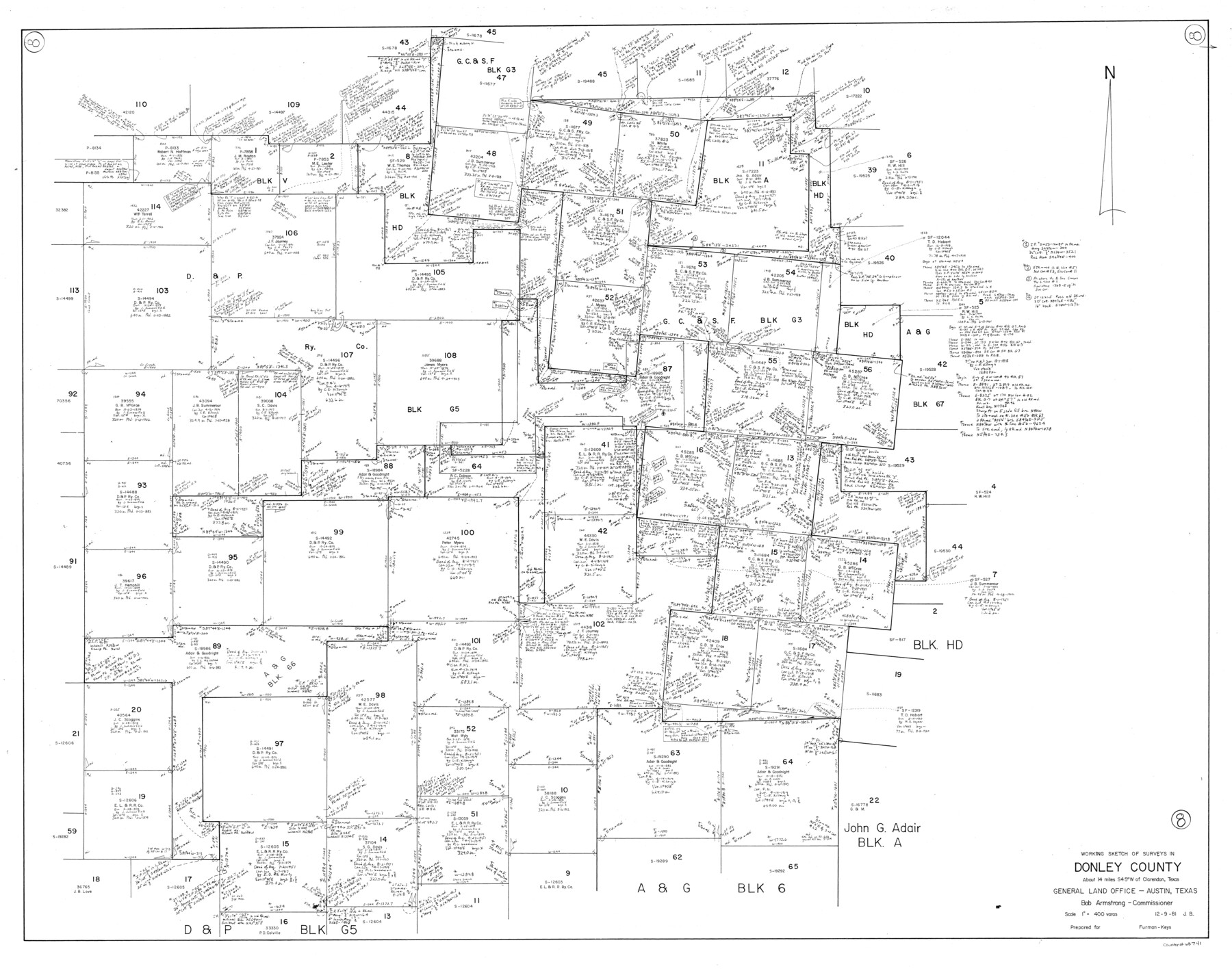
Donley County Working Sketch 8
-
Map/Doc
68741
-
Collection
General Map Collection
-
Object Dates
12/9/1981 (Creation Date)
-
People and Organizations
Jana Brod (Draftsman)
-
Counties
Donley
-
Subjects
Surveying Working Sketch
-
Height x Width
36.9 x 46.8 inches
93.7 x 118.9 cm
-
Scale
1" = 400 varas
Part of: General Map Collection
Haskell County Rolled Sketch 2

Print $20.00
- Digital $50.00
Haskell County Rolled Sketch 2
1902
Size 34.5 x 27.1 inches
Map/Doc 6163
Matagorda County Sketch File 46

Print $107.00
- Digital $50.00
Matagorda County Sketch File 46
1985
Size 11.2 x 8.5 inches
Map/Doc 30932
Runnels County Sketch File 10

Print $46.00
Runnels County Sketch File 10
1882
Size 7.3 x 8.2 inches
Map/Doc 35445
Lipscomb County Sketch File 6

Print $20.00
- Digital $50.00
Lipscomb County Sketch File 6
1965
Size 19.4 x 26.1 inches
Map/Doc 12005
Maps & Lists Showing Prison Lands (Oil & Gas) Leased as of June 1955

Digital $50.00
Maps & Lists Showing Prison Lands (Oil & Gas) Leased as of June 1955
1934
Size 29.6 x 38.1 inches
Map/Doc 62880
Eastland County Working Sketch 63

Print $20.00
- Digital $50.00
Eastland County Working Sketch 63
1997
Size 36.7 x 37.6 inches
Map/Doc 68844
Cass County Working Sketch 47b

Print $20.00
- Digital $50.00
Cass County Working Sketch 47b
1992
Size 32.3 x 36.4 inches
Map/Doc 76063

Tom Green County Working Sketch 3

Print $20.00
- Digital $50.00
Tom Green County Working Sketch 3
1933
Size 47.5 x 40.2 inches
Map/Doc 69372
Flight Mission No. CRE-1R, Frame 132, Jackson County

Print $20.00
- Digital $50.00
Flight Mission No. CRE-1R, Frame 132, Jackson County
1956
Size 16.2 x 16.0 inches
Map/Doc 85340
Kenedy County Aerial Photograph Index Sheet 2

Print $20.00
- Digital $50.00
Kenedy County Aerial Photograph Index Sheet 2
1943
Size 23.1 x 19.3 inches
Map/Doc 83714
Map of Panola County Texas

Print $20.00
- Digital $50.00
Map of Panola County Texas
1850
Size 25.6 x 35.9 inches
Map/Doc 78317
You may also like
Acts of the Visit of the Royal Commissioners (sometimes referred to as the “Visita General”) - Mier

Acts of the Visit of the Royal Commissioners (sometimes referred to as the “Visita General”) - Mier
1767
Size 14.0 x 9.2 inches
Map/Doc 94257
Hudspeth County Rolled Sketch 33

Print $40.00
- Digital $50.00
Hudspeth County Rolled Sketch 33
Size 59.0 x 24.9 inches
Map/Doc 8345
Flight Mission No. CUG-2P, Frame 28, Kleberg County

Print $20.00
- Digital $50.00
Flight Mission No. CUG-2P, Frame 28, Kleberg County
1956
Size 18.5 x 22.2 inches
Map/Doc 86193
Menard County Working Sketch 23

Print $20.00
- Digital $50.00
Menard County Working Sketch 23
1950
Size 45.1 x 41.3 inches
Map/Doc 70970


[Capitol Leagues in Lamb County]
![91013, [Capitol Leagues in Lamb County], Twichell Survey Records](https://historictexasmaps.com/wmedia_w700/maps/91013-1.tif.jpg)
Print $2.00
- Digital $50.00
[Capitol Leagues in Lamb County]
1912
Size 13.1 x 8.8 inches
Map/Doc 91013

Winkler County Rolled Sketch 13

Print $40.00
- Digital $50.00
Winkler County Rolled Sketch 13
1902
Size 39.5 x 48.7 inches
Map/Doc 10153
Uvalde County Sketch File 9

Print $4.00
- Digital $50.00
Uvalde County Sketch File 9
Size 6.8 x 8.8 inches
Map/Doc 38967
Current Miscellaneous File 88

Print $12.00
- Digital $50.00
Current Miscellaneous File 88
1954
Size 10.9 x 8.4 inches
Map/Doc 74247
Wilbarger County Sketch File 18

Print $12.00
- Digital $50.00
Wilbarger County Sketch File 18
1886
Size 14.3 x 8.8 inches
Map/Doc 40209