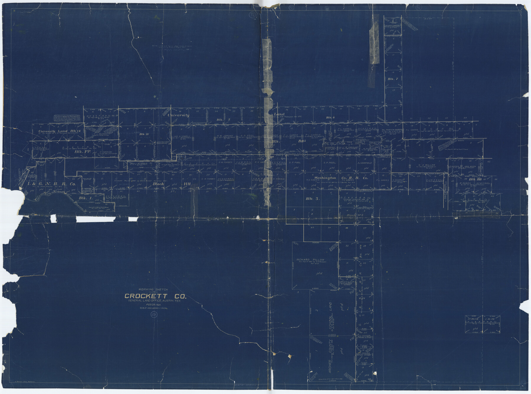
Crockett County Working Sketch 29
-
Map/Doc
68362
-
Collection
General Map Collection
-
Object Dates
2/29/1924 (Creation Date)
-
People and Organizations
J. Bascom Giles (Draftsman)
-
Counties
Crockett
-
Subjects
Surveying Working Sketch
-
Height x Width
42.8 x 57.6 inches
108.7 x 146.3 cm
-
Scale
1" = 1000 varas
Part of: General Map Collection
Val Verde County Sketch File Z22

Print $4.00
- Digital $50.00
Val Verde County Sketch File Z22
1919
Size 11.2 x 8.6 inches
Map/Doc 39163
Kent County Sketch File 8

Print $20.00
- Digital $50.00
Kent County Sketch File 8
Size 19.0 x 40.8 inches
Map/Doc 10515
Panola County Working Sketch 12

Print $20.00
- Digital $50.00
Panola County Working Sketch 12
1945
Map/Doc 71421
Kent County Working Sketch 17

Print $20.00
- Digital $50.00
Kent County Working Sketch 17
1973
Size 34.8 x 36.4 inches
Map/Doc 70024
Harrison County Working Sketch 10

Print $20.00
- Digital $50.00
Harrison County Working Sketch 10
1957
Size 25.8 x 24.6 inches
Map/Doc 66030
Runnels County Sketch File E

Print $6.00
Runnels County Sketch File E
1895
Size 12.7 x 8.3 inches
Map/Doc 35481
[Surveys in the Bexar District along the Cibolo Creek]
![3168, [Surveys in the Bexar District along the Cibolo Creek], General Map Collection](https://historictexasmaps.com/wmedia_w700/maps/3168.tif.jpg)
Print $2.00
- Digital $50.00
[Surveys in the Bexar District along the Cibolo Creek]
1846
Size 5.1 x 6.7 inches
Map/Doc 3168
Bandera County

Print $40.00
- Digital $50.00
Bandera County
1947
Size 33.7 x 54.2 inches
Map/Doc 77207
Archer County Working Sketch 2

Print $20.00
- Digital $50.00
Archer County Working Sketch 2
1907
Size 19.6 x 18.6 inches
Map/Doc 67142
Willacy County Aerial Photograph Index Sheet 1

Print $20.00
- Digital $50.00
Willacy County Aerial Photograph Index Sheet 1
1940
Size 24.3 x 20.2 inches
Map/Doc 83756
Van Zandt County

Print $20.00
- Digital $50.00
Van Zandt County
1921
Size 45.5 x 41.0 inches
Map/Doc 16914
Crockett County Sketch File 96

Print $4.00
- Digital $50.00
Crockett County Sketch File 96
1934
Size 11.4 x 8.9 inches
Map/Doc 19964
You may also like
General Highway Map, Callahan County, Texas

Print $20.00
General Highway Map, Callahan County, Texas
1961
Size 25.0 x 18.2 inches
Map/Doc 79396
Trinity County

Print $20.00
- Digital $50.00
Trinity County
1946
Size 42.5 x 42.8 inches
Map/Doc 73306
Sketch of Crosby Co.

Print $20.00
- Digital $50.00
Sketch of Crosby Co.
1884
Size 14.8 x 12.5 inches
Map/Doc 506
Sutton County Working Sketch 23

Print $20.00
- Digital $50.00
Sutton County Working Sketch 23
1981
Size 17.3 x 27.1 inches
Map/Doc 62366
Flight Mission No. DQO-8K, Frame 59, Galveston County

Print $20.00
- Digital $50.00
Flight Mission No. DQO-8K, Frame 59, Galveston County
1952
Size 18.6 x 22.4 inches
Map/Doc 85166
[Parts of Blocks Z, L, M-21, M-15, and 46]
![91831, [Parts of Blocks Z, L, M-21, M-15, and 46], Twichell Survey Records](https://historictexasmaps.com/wmedia_w700/maps/91831-1.tif.jpg)
Print $20.00
- Digital $50.00
[Parts of Blocks Z, L, M-21, M-15, and 46]
Size 21.2 x 16.7 inches
Map/Doc 91831
The Republic County of Austin. February 5, 1840

Print $20.00
The Republic County of Austin. February 5, 1840
2020
Size 14.7 x 21.7 inches
Map/Doc 96084
Flight Mission No. DQO-8K, Frame 71, Galveston County

Print $20.00
- Digital $50.00
Flight Mission No. DQO-8K, Frame 71, Galveston County
1952
Size 18.6 x 22.4 inches
Map/Doc 85175
Rusk County Working Sketch 26

Print $20.00
- Digital $50.00
Rusk County Working Sketch 26
1938
Size 42.8 x 36.8 inches
Map/Doc 63662
[Sketch showing G. & M. Block M-20, Sections 29-46]
![91706, [Sketch showing G. & M. Block M-20, Sections 29-46], Twichell Survey Records](https://historictexasmaps.com/wmedia_w700/maps/91706-1.tif.jpg)
Print $2.00
- Digital $50.00
[Sketch showing G. & M. Block M-20, Sections 29-46]
Size 6.7 x 13.4 inches
Map/Doc 91706
Map of Mason County

Print $20.00
- Digital $50.00
Map of Mason County
1877
Size 25.3 x 19.9 inches
Map/Doc 3836
Angelina County Working Sketch 39

Print $20.00
- Digital $50.00
Angelina County Working Sketch 39
1959
Size 25.6 x 30.0 inches
Map/Doc 67122