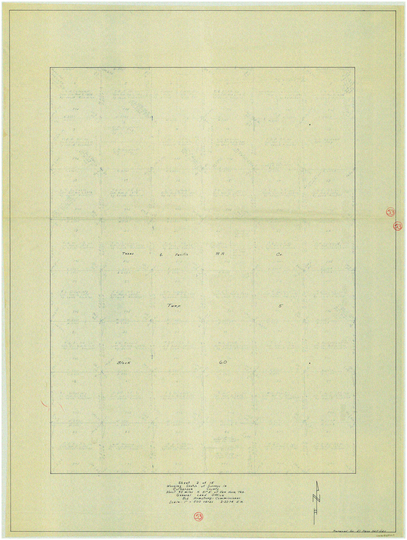
Culberson County Working Sketch 53
-
Map/Doc
68507
-
Collection
General Map Collection
-
Object Dates
2/22/1974 (Creation Date)
-
People and Organizations
Elbert Menzel (Draftsman)
-
Counties
Culberson
-
Subjects
Surveying Working Sketch
-
Height x Width
43.3 x 32.8 inches
110.0 x 83.3 cm
-
Scale
1" = 500 varas
Part of: General Map Collection
Flight Mission No. DCL-7C, Frame 65, Kenedy County

Print $20.00
- Digital $50.00
Flight Mission No. DCL-7C, Frame 65, Kenedy County
1943
Size 18.5 x 22.3 inches
Map/Doc 86051
[Sketch for Mineral Application 24072, San Jacinto River]
![65603, [Sketch for Mineral Application 24072, San Jacinto River], General Map Collection](https://historictexasmaps.com/wmedia_w700/maps/65603.tif.jpg)
Print $20.00
- Digital $50.00
[Sketch for Mineral Application 24072, San Jacinto River]
1929
Size 23.4 x 17.6 inches
Map/Doc 65603
Map of the United States and their Territories between the Mississippi and the Pacific Ocean and part of Mexico

Print $20.00
- Digital $50.00
Map of the United States and their Territories between the Mississippi and the Pacific Ocean and part of Mexico
Size 23.5 x 26.5 inches
Map/Doc 96526
Dallam County Sketch File 4

Print $20.00
- Digital $50.00
Dallam County Sketch File 4
Size 27.7 x 8.5 inches
Map/Doc 11279
Brewster County Working Sketch 59

Print $20.00
- Digital $50.00
Brewster County Working Sketch 59
1955
Size 24.6 x 19.0 inches
Map/Doc 67660
Mills County Sketch File 11

Print $6.00
- Digital $50.00
Mills County Sketch File 11
1876
Size 10.6 x 13.0 inches
Map/Doc 31659
Wheeler County Sketch File 1

Print $20.00
- Digital $50.00
Wheeler County Sketch File 1
Size 17.1 x 26.8 inches
Map/Doc 12672

Outer Continental Shelf Leasing Maps (Texas Offshore Operations)

Print $20.00
- Digital $50.00
Outer Continental Shelf Leasing Maps (Texas Offshore Operations)
Size 18.0 x 13.9 inches
Map/Doc 75852
Robertson County Sketch File 10 (1)

Print $3.00
- Digital $50.00
Robertson County Sketch File 10 (1)
Size 13.0 x 10.4 inches
Map/Doc 43369
[Beaumont, Sour Lake and Western Ry. Right of Way and Alignment - Frisco]
![64130, [Beaumont, Sour Lake and Western Ry. Right of Way and Alignment - Frisco], General Map Collection](https://historictexasmaps.com/wmedia_w700/maps/64130.tif.jpg)
Print $20.00
- Digital $50.00
[Beaumont, Sour Lake and Western Ry. Right of Way and Alignment - Frisco]
1910
Size 20.3 x 45.9 inches
Map/Doc 64130
McMullen County

Print $40.00
- Digital $50.00
McMullen County
1967
Size 50.8 x 35.8 inches
Map/Doc 95586
You may also like
[Block M21, B. S. & F. Block 3, I. & G. N. Block 4, and Part of Block 46]
![91178, [Block M21, B. S. & F. Block 3, I. & G. N. Block 4, and Part of Block 46], Twichell Survey Records](https://historictexasmaps.com/wmedia_w700/maps/91178-1.tif.jpg)
Print $20.00
- Digital $50.00
[Block M21, B. S. & F. Block 3, I. & G. N. Block 4, and Part of Block 46]
Size 19.6 x 17.9 inches
Map/Doc 91178
Lavaca County Working Sketch 12

Print $20.00
- Digital $50.00
Lavaca County Working Sketch 12
1954
Size 17.3 x 32.4 inches
Map/Doc 70365
Outer Continental Shelf Leasing Maps (Louisiana Offshore Operations)

Print $20.00
- Digital $50.00
Outer Continental Shelf Leasing Maps (Louisiana Offshore Operations)
1954
Size 13.0 x 15.0 inches
Map/Doc 76111
[Madison County School Land, W. Perry and other surveys to the East]
![90428, [Madison County School Land, W. Perry and other surveys to the East], Twichell Survey Records](https://historictexasmaps.com/wmedia_w700/maps/90428-1.tif.jpg)
Print $20.00
- Digital $50.00
[Madison County School Land, W. Perry and other surveys to the East]
Size 12.9 x 18.0 inches
Map/Doc 90428
Wilbarger County Sketch File A

Print $6.00
- Digital $50.00
Wilbarger County Sketch File A
Size 8.3 x 14.1 inches
Map/Doc 40231
Webb County Sketch File 10

Print $20.00
- Digital $50.00
Webb County Sketch File 10
1878
Size 18.9 x 13.0 inches
Map/Doc 12624
[Jose Antonio Sepulveda grant]
![349, [Jose Antonio Sepulveda grant], General Map Collection](https://historictexasmaps.com/wmedia_w700/maps/349.tif.jpg)
Print $2.00
- Digital $50.00
[Jose Antonio Sepulveda grant]
Size 5.9 x 5.7 inches
Map/Doc 349
Clay County Boundary File 15

Print $8.00
- Digital $50.00
Clay County Boundary File 15
Size 13.3 x 8.2 inches
Map/Doc 51418
Flight Mission No. DIX-10P, Frame 183, Aransas County

Print $20.00
- Digital $50.00
Flight Mission No. DIX-10P, Frame 183, Aransas County
1956
Size 18.4 x 22.1 inches
Map/Doc 83973
Newton County Sketch File 22

Print $4.00
- Digital $50.00
Newton County Sketch File 22
1890
Size 14.2 x 8.7 inches
Map/Doc 32401
Map of Val Verde County

Print $40.00
- Digital $50.00
Map of Val Verde County
1898
Size 80.4 x 70.4 inches
Map/Doc 82014
Parker County Working Sketch 8

Print $20.00
- Digital $50.00
Parker County Working Sketch 8
1956
Map/Doc 71458